532
Total Miles
1.2
Technical Rating
Best Time
Fall, Summer, Spring
Trail Type
Single Track
Accessible By
Trail Overview
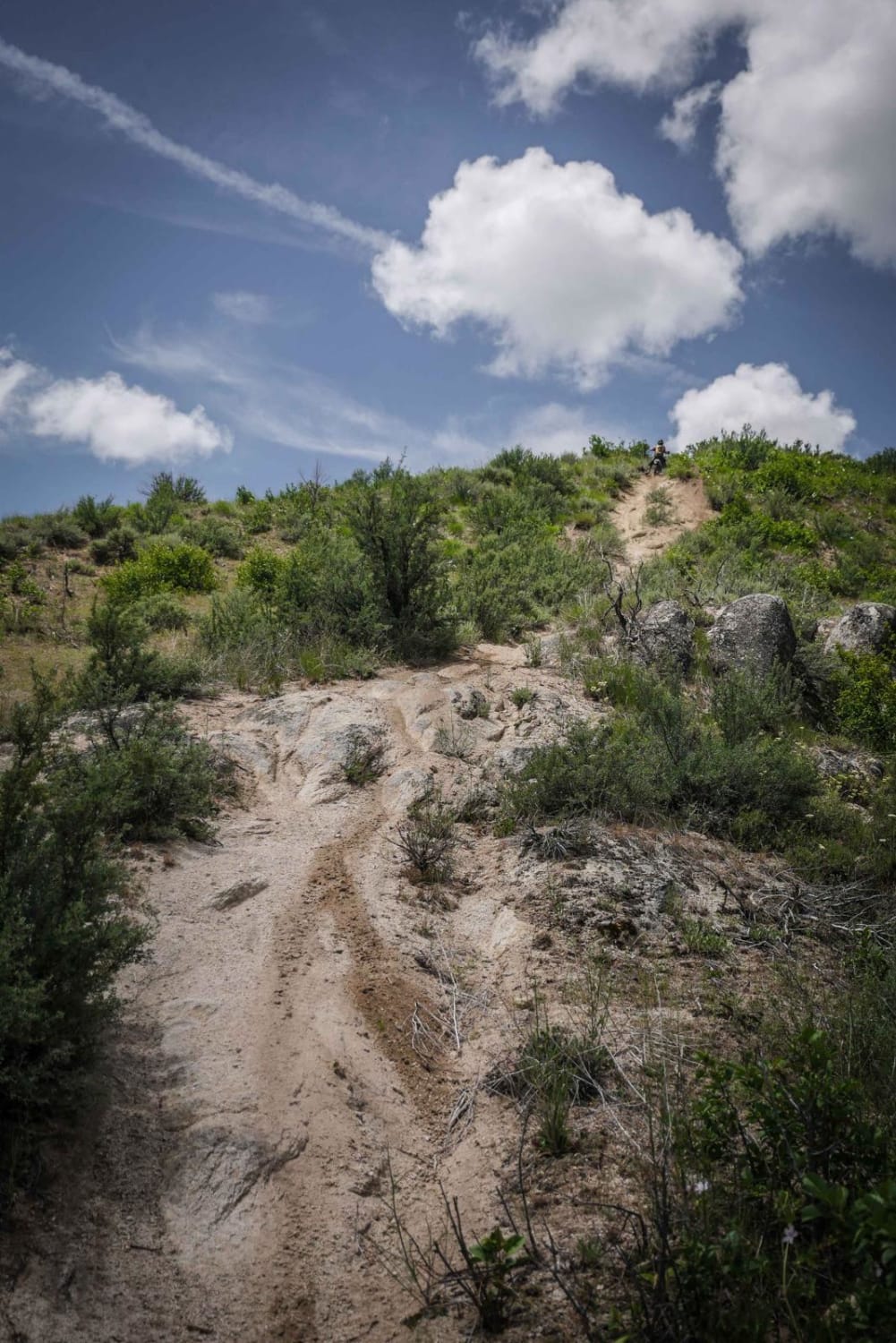
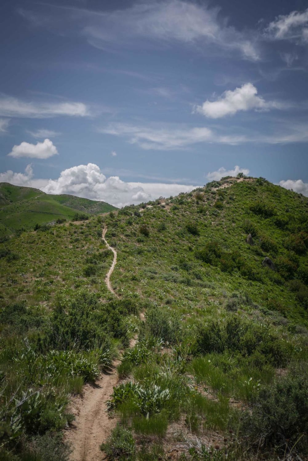
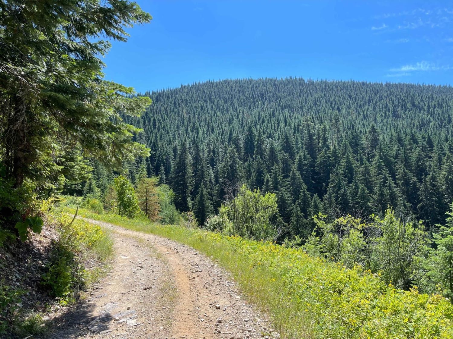
This ridge line trail starts on the east end with a shallow creek crossing in an overgrown wooded section full of trees, brush, and low branches. After the creek, it climbs up to the intersection with #533 on a wide-open ridge line. The climb is steep with a rockier section at the bottom of the climb. It's a short section of small rock boulders of moderate difficulty. There are also a couple of embedded flat boulders in the steep sections of the climbs that make them more difficult. It keeps climbing, and the trail is a bit rutted, but sometimes has several line choices. The dirt is a bit loose on the steep sections, but overall it's still an easy to moderate-level trail. From the intersection with 533 it continues to drop down the back side of the mountain with several more gradual descents, and a couple of sweeping turns as it descends. The terrain is wide open rolling hillsides when the trail is on the ridge line, but it turns into more of a pine tree forest when it drops down to connect to the #531 ATV trail. There are lots of whoops on this trail.
Photos of 532
Difficulty
This is a moderate ridge line trail with steep hill climbs and descents and moderate rock obstacles.
Status Reports
532 can be accessed by the following ride types:
- Dirt Bike
532 Map
Popular Trails

Challis Creek Lakes
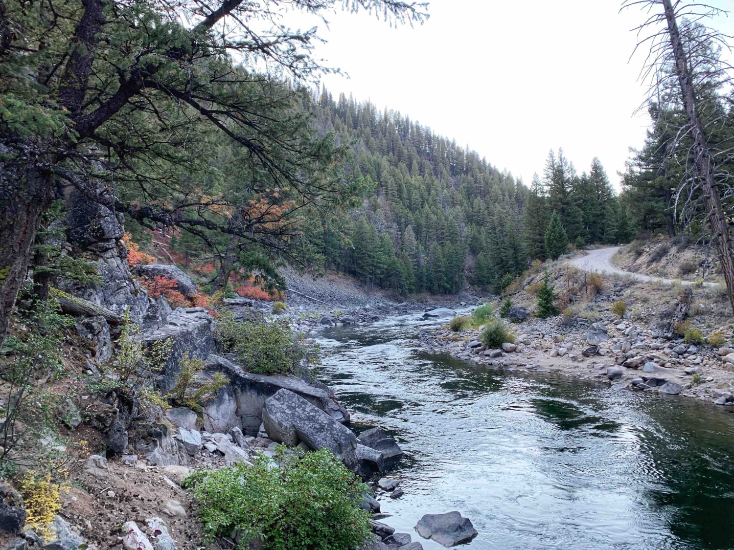
O'Brien Camping on the Salmon River
Deception Creek Circle
The onX Offroad Difference
onX Offroad combines trail photos, descriptions, difficulty ratings, width restrictions, seasonality, and more in a user-friendly interface. Available on all devices, with offline access and full compatibility with CarPlay and Android Auto. Discover what you’re missing today!
