Beaver Loon Road - FS Trail 172
Total Miles
27.3
Technical Rating
Best Time
Summer
Trail Type
Full-Width Road
Accessible By
Trail Overview
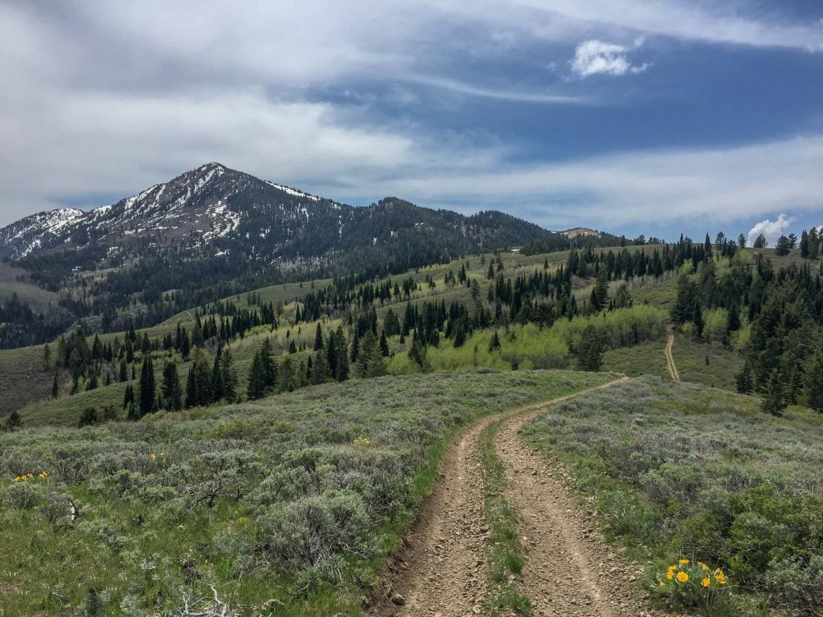
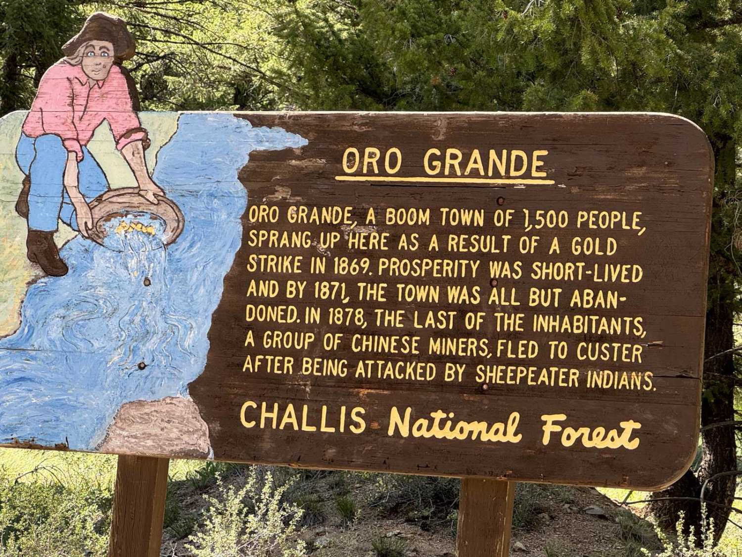
This approximately 26-mile road starts off from the Custer Motorway and ends in the Frank Church Wilderness. The road starts following Jordan Creek and passes by the Lucky Boy Mine before starting up the switchbacks to Loon Creek Summit, make sure to stop and take a picture at the summit. After crossing the summit the road starts heading down towards Mayfield Creek. After passing the Loon Creek Guard Station and the Diamond D Ranch you will reach a fork in the road. Here you can stay on this trail which is now the Loon Creek Road and head to the end of the road, or take a side trip to Pinyon Peak. After the fork, the road follows Loon Creek towards Tin Cup Campground. Along the way, you will see the remains of Castro Mining Town and the location of Oro Grande Mining Town. If you look closely there is mining equipment hidden along the way. Make sure to stop at Tin Cup Campground and read the interpretive sign to learn about some interesting Idaho history! This will take at least 4 hours depending on how many stops you make and if you take any side trips. The road can be winding, narrow, and goes through the Frank Church Wilderness of No Return. Plan for down trees, washouts, and rocks - high clearance 4x4 required. Pack it in, pack it out.
Photos of Beaver Loon Road - FS Trail 172
Difficulty
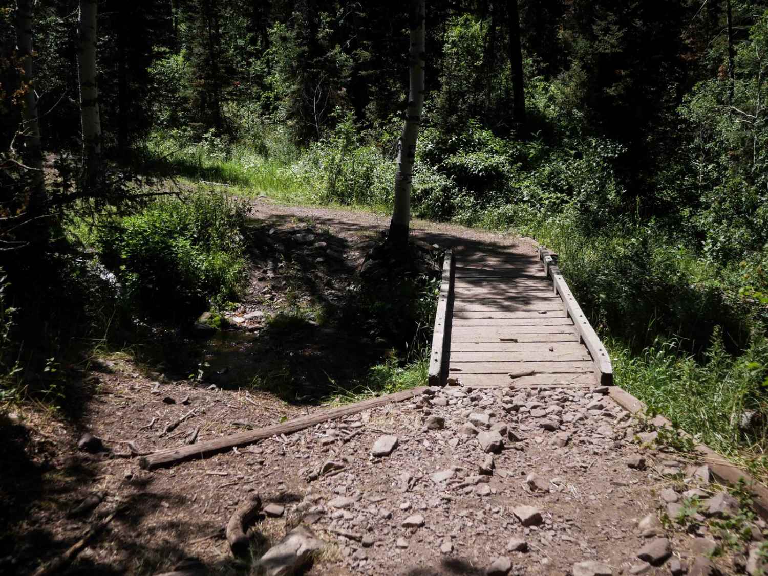
The road can be narrow and rough with down trees, washouts, or rocks. The section that follows Mayfield Creek is rough. High clearance 4x4 required.
Status Reports
Beaver Loon Road - FS Trail 172 can be accessed by the following ride types:
- High-Clearance 4x4
- SUV
- SxS (60")
- ATV (50")
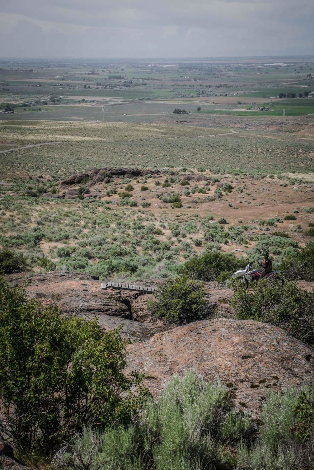
- Dirt Bike
Beaver Loon Road - FS Trail 172 Map
Popular Trails

Slate Peak ATV

Oxford Peak Loop

Sherman Peak #3317
The onX Offroad Difference
onX Offroad combines trail photos, descriptions, difficulty ratings, width restrictions, seasonality, and more in a user-friendly interface. Available on all devices, with offline access and full compatibility with CarPlay and Android Auto. Discover what you’re missing today!


