Bighorn Point
Total Miles
2.0
Elevation
1,414.95 ft
Duration
0.5 Hours
Technical Rating
Best Time
Spring, Summer, Fall
Trail Overview
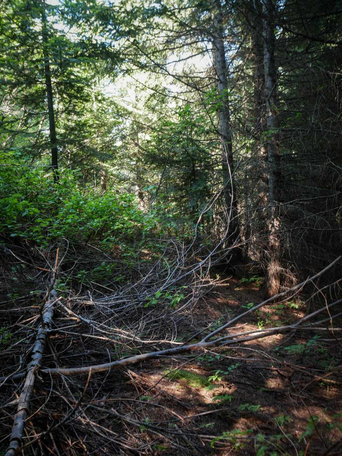
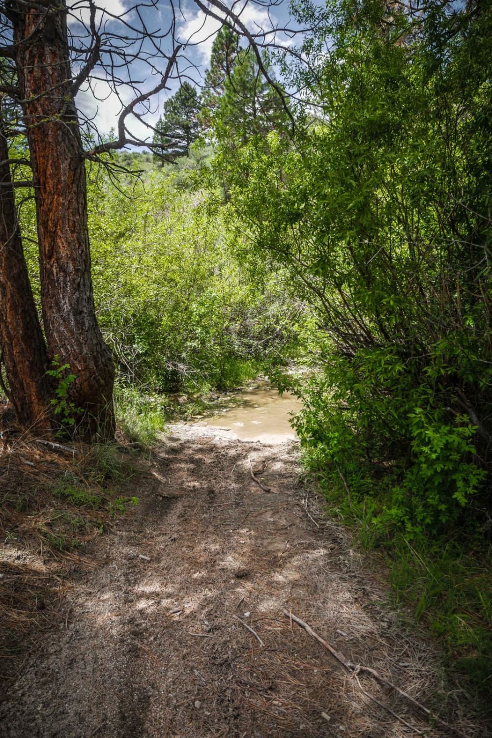
Bighorn Point is a 2 mile spur off of Cabin Point. It appears to be pretty infrequently ridden, as it is pretty overgrown at the 1.5 mile mark and needs some trail maintenance. Much of it is like a tree tunnel, with branches extending into the trail, and lots of logs needing cut. It's relatively flat, with small hills and descents and tight turns through the trees, but not much elevation gain. This is just a way to add some extra mileage if you are already riding Cabin Creek. It looks like it gets to the top of Bighorn Point at 4,600 feet, but it might be too overgrown in the last half mile to make it all the way.
Photos of Bighorn Point
Difficulty
This trail is intermediate due to tight and overgrown sections, and it will likely have multiple downed logs every year.
Status Reports
Popular Trails
Burgdorf to French Creek
Striped Peak ATV
Bone to Wolverine Brush Creek Run
The onX Offroad Difference
onX Offroad combines trail photos, descriptions, difficulty ratings, width restrictions, seasonality, and more in a user-friendly interface. Available on all devices, with offline access and full compatibility with CarPlay and Android Auto. Discover what you’re missing today!

