Canfield Mountain- Trail 1
Total Miles
1.1
Technical Rating
Best Time
Spring, Summer, Fall
Trail Type
Single Track
Accessible By
Trail Overview
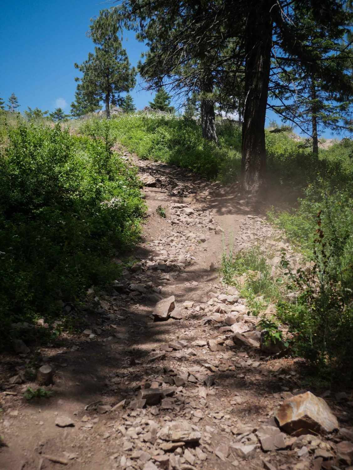
Trail 1 is a 1.1-mile-long dirt bike trail in the Canfield Trail System that has some really technical climbs, making this one of the hardest trails in the system. The east end goes past a radio tower with a really amazing view towards the town of Coeur d'Alene and the lake. Then it starts as a wide trail, immediately going down a rocky loose hill full of rock ledges and loose rocks. It's a wide obstacle where you can pick from multiple lines, but it's extremely steep, so it's going to be really difficult in either direction whether going up or down. You would really have to carry momentum up and over these ledges if going uphill. After this main obstacle, it continues going downhill through a very steep descent full of loose rocks. There are piles of rocks lining the trail through a lot of the descent. The trail drops 1,000 feet in 1 mile, so it's very steep. It finally levels out and smooths out with fewer rocks, but still keeps going downhill. Motorized use ends at the bottom of the hill and turns into a mountain bike area.
Photos of Canfield Mountain- Trail 1
Difficulty
This is a 7 difficulty due to the steepness throughout the entirety of the trail. It goes straight up (or down) for the entire length of the trail, with lots of loose rocks and loose dirt in the climb. Near the top, there is a harder climb that is still steep, full of loose rocks and rock ledges. This is the crux of the trail.
Status Reports
Canfield Mountain- Trail 1 can be accessed by the following ride types:
- Dirt Bike
Canfield Mountain- Trail 1 Map
Popular Trails

Big Wood River - Harriman Trail Access

Horse Basin to Dry Gulch

Sheep Drive Point Overview
The onX Offroad Difference
onX Offroad combines trail photos, descriptions, difficulty ratings, width restrictions, seasonality, and more in a user-friendly interface. Available on all devices, with offline access and full compatibility with CarPlay and Android Auto. Discover what you’re missing today!


