Canfield Mountain- Trail D
Total Miles
3.6
Technical Rating
Best Time
Spring, Summer, Fall
Trail Type
Single Track
Accessible By
Trail Overview
Trail D is a longer, technical single track through the Canfield Trail System. It goes through a lot of overgrown bushes with branches that whack your face as you ride by. It's helpful to have a map here too because it goes through several intersections and road crossings, often unsigned. Throughout the 3.7 miles, it has lots of whoops, ruts, troughs, mud, small rock pieces, and roots. It goes under dark tunnels of tree branches and is curvy like a turn track in the trees. Some of the harder parts are hill climbs full of roots and rock, and descents with ruts and loose rocks and roots, creating small ledges, and bigger root obstacles. There are multiple sections that go through a small rock garden, having to go through a bunch of jagged embedded boulders. The dirt can be a bit greasy and slippery if wet here, too. The middle section of the trail gets narrow and overgrown. There's a really steep section in the middle of the route that goes downhill (going east to west) with a bunch of embedded boulders and rock ledges with loose dirt that is one of the more technical spots. It's a really wide spot so there are multiple lines to choose from. Near the west end there is a shelfier section that gets fast and flowy and easier again. The west end of the trail ends at an epic view at a radio tower all the way to Coeur d'Alene town and lake.
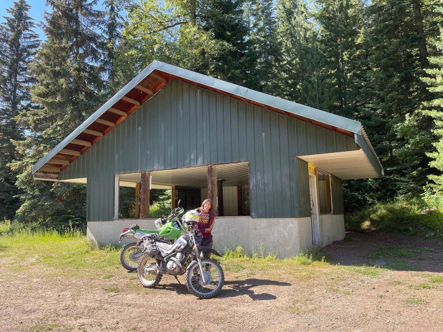
Photos of Canfield Mountain- Trail D


Difficulty
The majority of the trail is about a 5 difficulty. There are lots of small and easy obstacles like roots and rocks all throughout the trail, plus rock gardens that are a bit harder in the middle of the route. Then there is one technical hill that is a 7 difficulty because it is extremely steep and loose with rock ledges.
Status Reports

Popular Trails


Pole Canyon Road

Van Noy-Stoddard Trail
The onX Offroad Difference
onX Offroad combines trail photos, descriptions, difficulty ratings, width restrictions, seasonality, and more in a user-friendly interface. Available on all devices, with offline access and full compatibility with CarPlay and Android Auto. Discover what you’re missing today!