Cedar Mountain
Total Miles
4.8
Technical Rating
Best Time
Fall, Summer, Spring
Trail Type
Single Track
Accessible By
Trail Overview
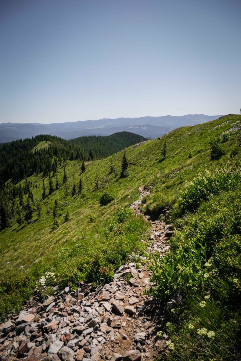
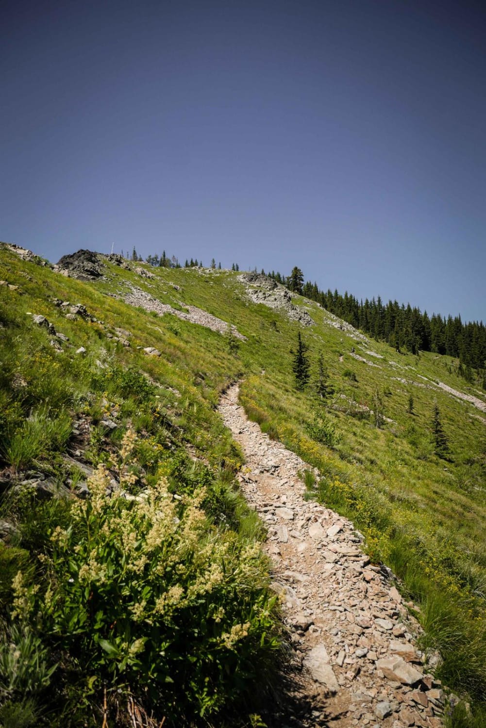
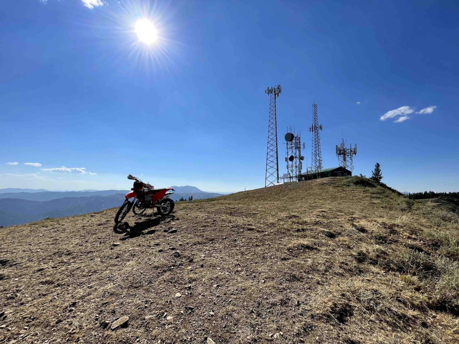
The Cedar Mountain single track goes between Dunn Peak Road and Cedar Mountain Road, which goes to the summit of Moon Pass. This trail gets you near the top of Cedar Mountain on a narrow side-hilling trail, with awesome views of the wide open rocky mountain side. There is tons of talus and scree in the trail, making it really bumpy and hard to stay balanced. It starts from the south end on a pretty troughed trail full of rocks in the pine trees, then pops out of the trees onto an exposed side of the mountain with really epic views. There's a section of smooth flat meadow before more talus and a steep downhill full of talus. The north end of the trail smooths out and gets really fast and flowy. The intersections with Hammond Creek and Arid Mountain are both signed and easy to follow.
Photos of Cedar Mountain
Difficulty
Intermediate single track due to exposure and lots of rock scree.
Status Reports
Popular Trails
Buttar Springs Trail 7922
Upper Graves Creek
Black Mountain - 004

Beaver Loon to Pinyon Peak Look Out
The onX Offroad Difference
onX Offroad combines trail photos, descriptions, difficulty ratings, width restrictions, seasonality, and more in a user-friendly interface. Available on all devices, with offline access and full compatibility with CarPlay and Android Auto. Discover what you’re missing today!
