Crane Point/FS 1273
Total Miles
3.7
Technical Rating
Best Time
Summer, Fall, Spring
Trail Type
Full-Width Road
Accessible By
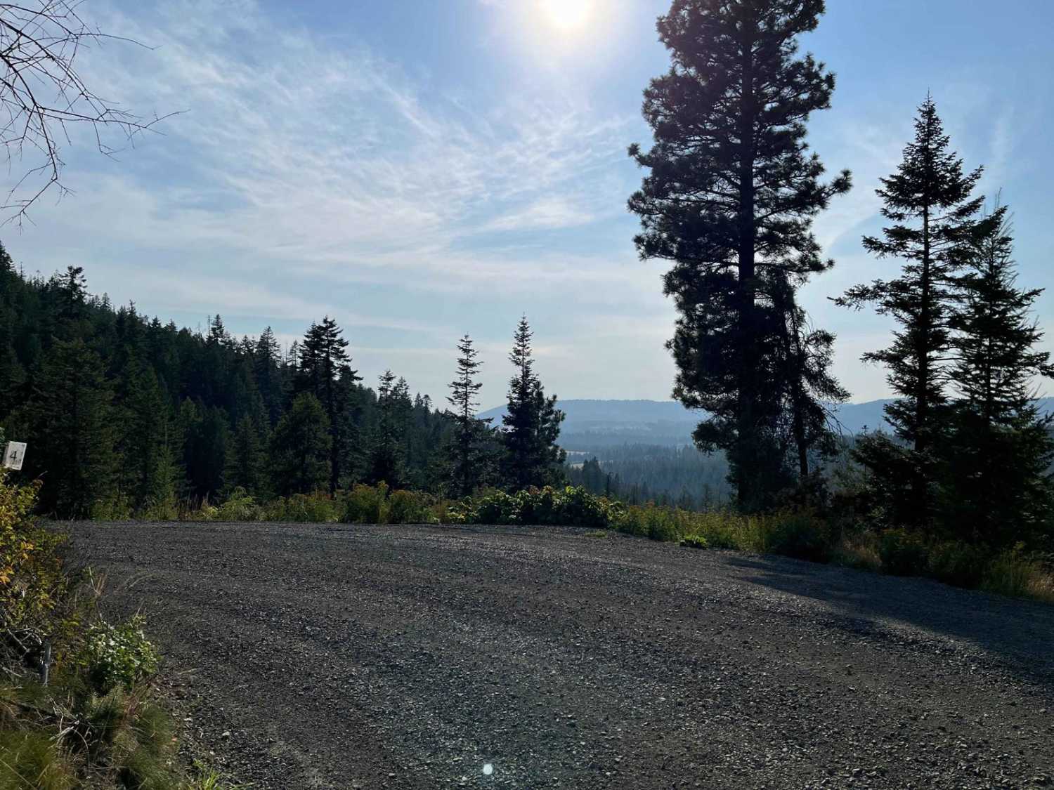
Trail Overview
Crane Point is a 3.7-mile out-and-back gravel road that climbs from US95 to Crane Point. The gravel road is well maintained and ranges from one to two vehicles wide. Crane Point serves as the main access point to the Crane Point trail network. There is logging activity, so watch for logging trucks and equipment. Due to logging activity, there are a lot of new roads, and some roads have been removed or blocked in this area. I recommend using recent satellite imagery to verify routes. The old Crane Point/FS 1273 route shows the road connecting with FS 73693. That route is now blocked by a gate. This recorded track ends at a 3-way fork, with an open gate. All three routes lead to dead ends within a mile. The route to the far left and the far right end at decent viewpoints. The gate is posted as being closed from 10/1-6/15.
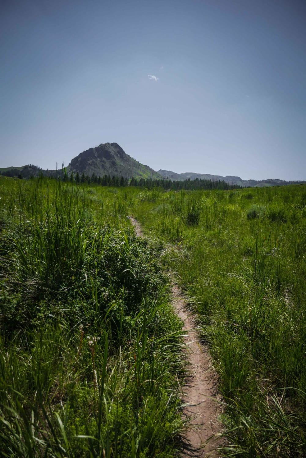
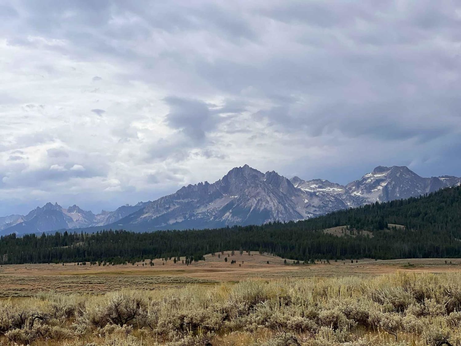
Photos of Crane Point/FS 1273

Difficulty
Crane Point is a well-maintained gravel road. There are some gentle grades and some light ledge exposure.
Status Reports
Crane Point/FS 1273 can be accessed by the following ride types:
- High-Clearance 4x4
- SUV
- SxS (60")
- ATV (50")
- Dirt Bike
Crane Point/FS 1273 Map
Popular Trails
Cow Creek Shortcut
Stanley Creek

Long Canyon Trail

Aspen Range - Middle Sulphur #5248
The onX Offroad Difference
onX Offroad combines trail photos, descriptions, difficulty ratings, width restrictions, seasonality, and more in a user-friendly interface. Available on all devices, with offline access and full compatibility with CarPlay and Android Auto. Discover what you’re missing today!