Davis Mtn. Loop
Total Miles
37.4
Technical Rating
Best Time
Spring, Summer, Fall
Trail Type
Full-Width Road
Accessible By
Trail Overview
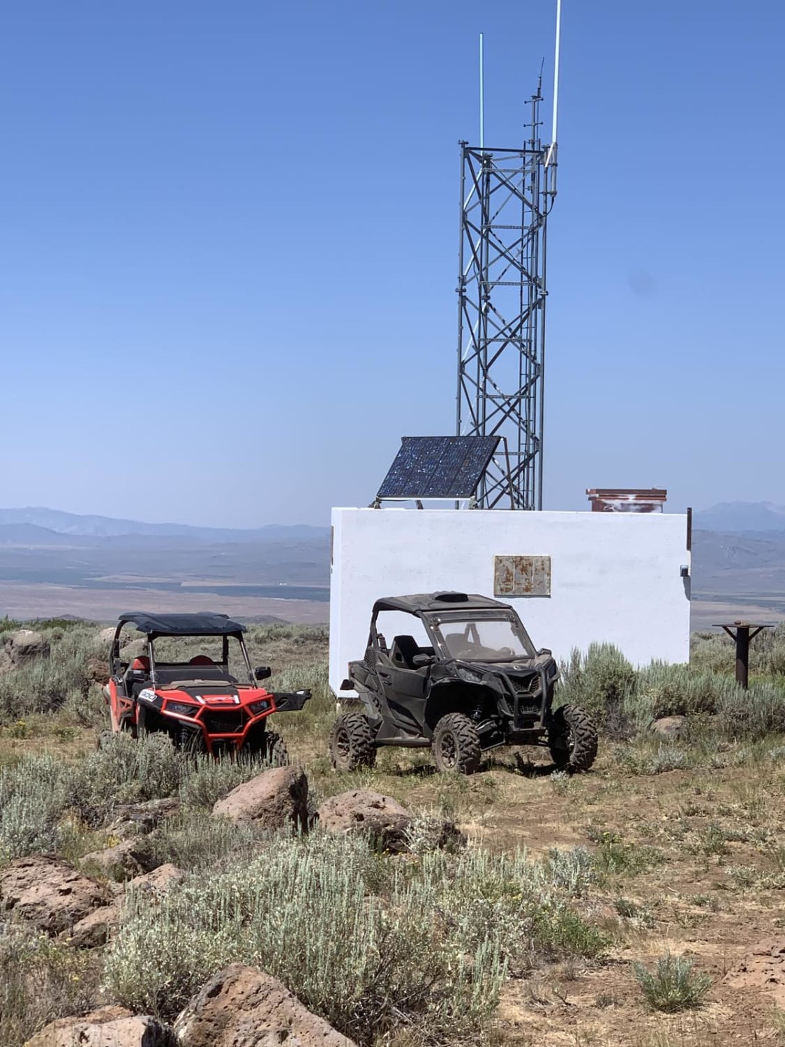
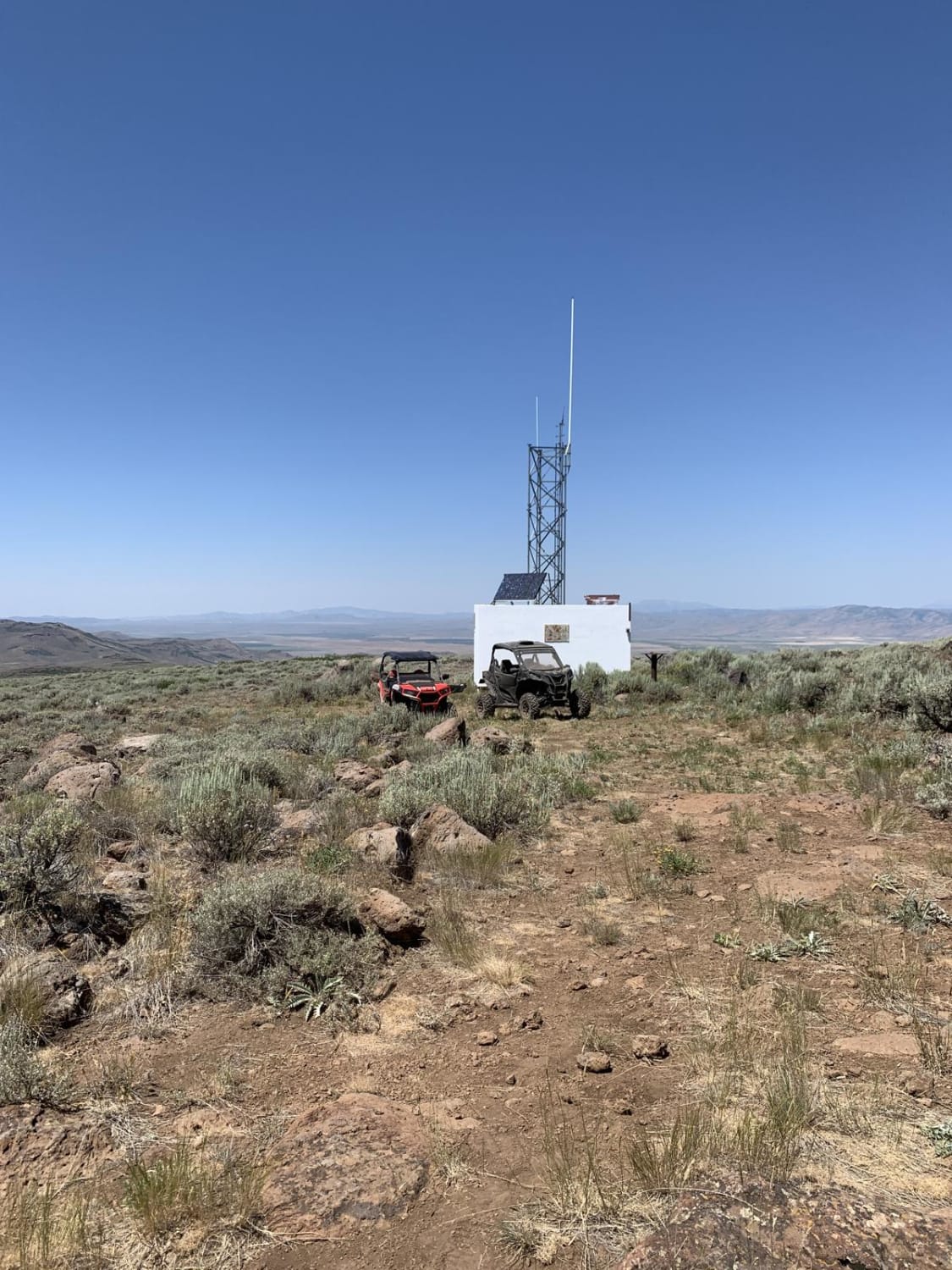
Leaving from Bliss, ID, head north on Hill City Road. Turn onto Davis Mountain Road. There are many roads and trails to explore from this location. It is very easy driving with plenty of wildlife to see. Be on the lookout for grazing cattle, as it is very popular for grazing. From Davis Mountain you can dismount and look over the mountain range to the Camas prairie, the town of Fairfield, and can see the little city of rocks. Lots of elevation change, loose rocks, and constant change of scenery. It is also very dry and dusty in the summer, so please stay on designated roads, and make sure spark arrestors are installed. Best ride times are spring and fall, dust is very thick and gets everywhere. Pack lots of water. This is a very fun day trip for anyone not familiar with the area.
Photos of Davis Mtn. Loop
Difficulty
Well-used roads by ranchers in the area, no major obstacles or technical sections.
Davis Mtn. Loop can be accessed by the following ride types:
- High-Clearance 4x4
- SUV
- ATV (50")
- Dirt Bike
Davis Mtn. Loop Map
Popular Trails
Rabbit Foot Mine Trail
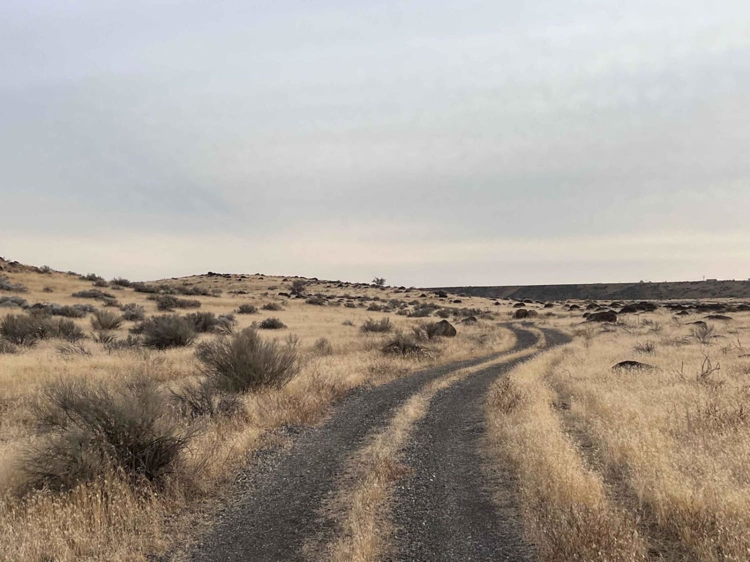
Petrified Watermelons
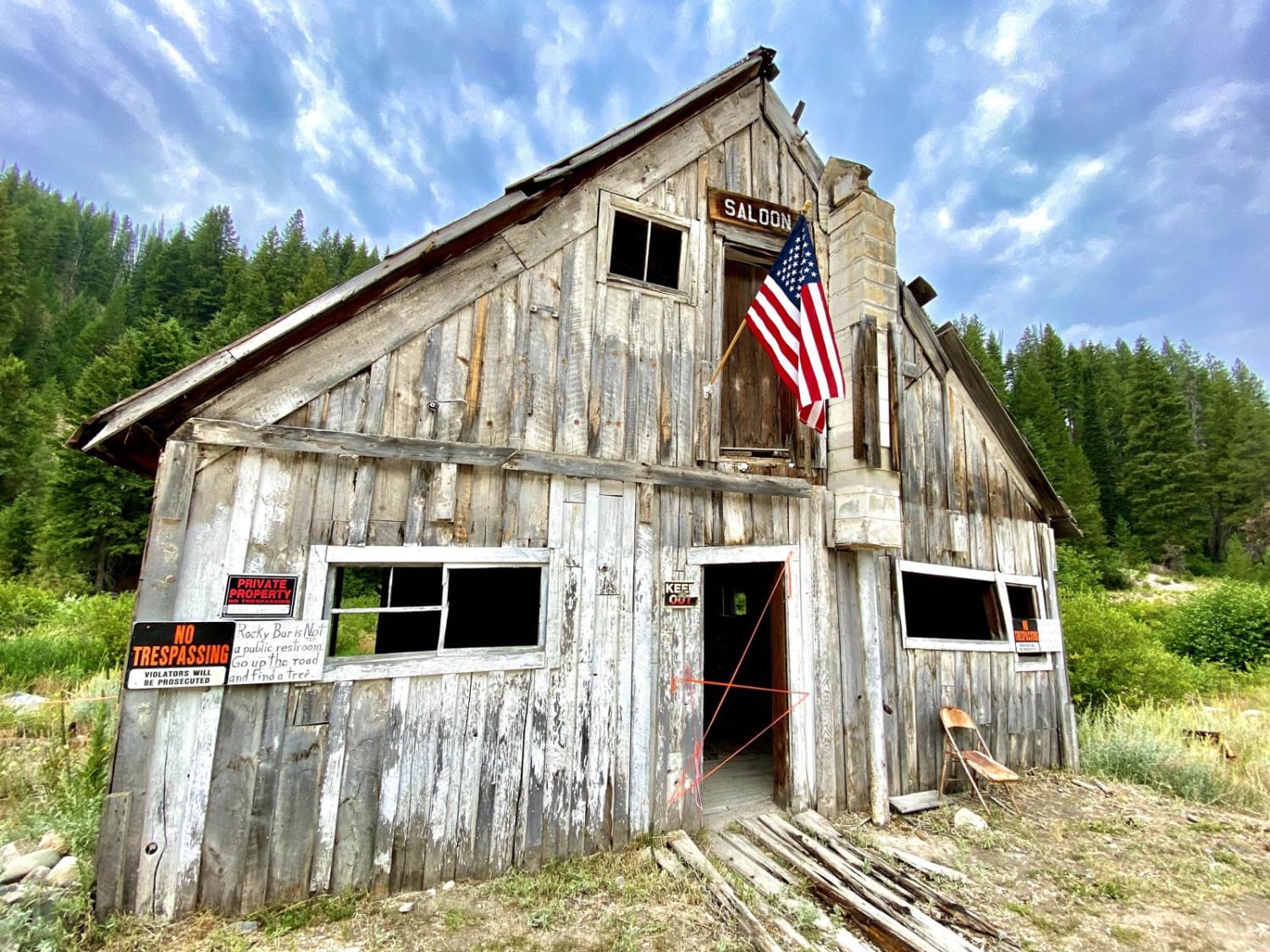
Featherville To Rocky Bar Ghost Town
The onX Offroad Difference
onX Offroad combines trail photos, descriptions, difficulty ratings, width restrictions, seasonality, and more in a user-friendly interface. Available on all devices, with offline access and full compatibility with CarPlay and Android Auto. Discover what you’re missing today!
