East Slope of Old Baldy Peak
Total Miles
2.4
Technical Rating
Best Time
Fall, Summer, Spring
Trail Type
Single Track
Accessible By
Trail Overview
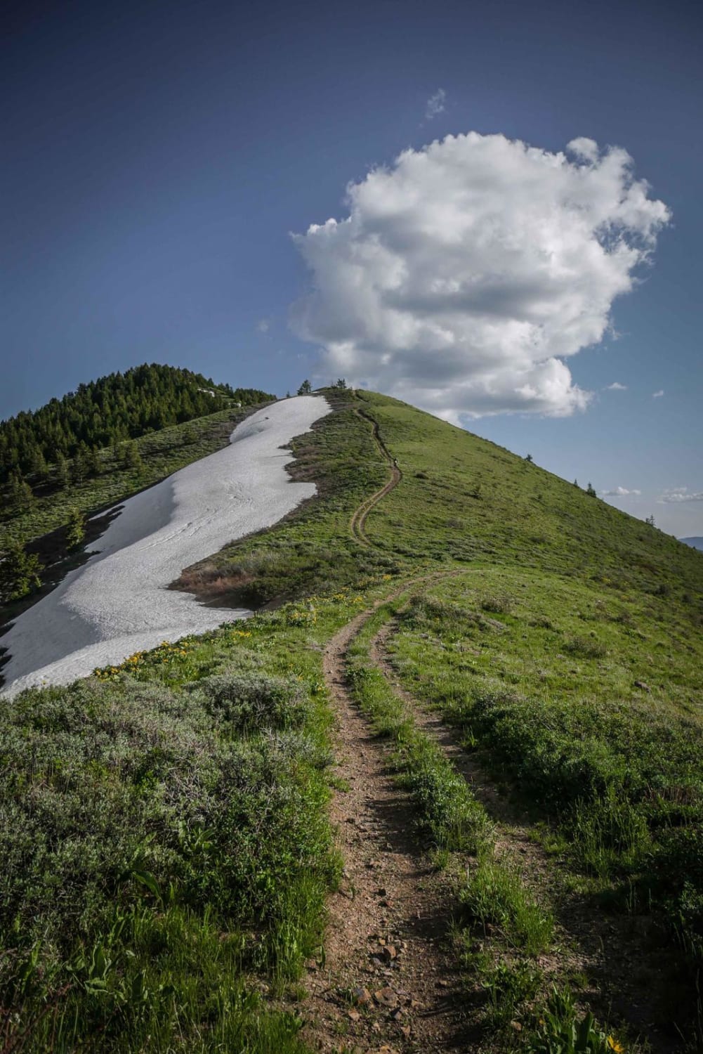
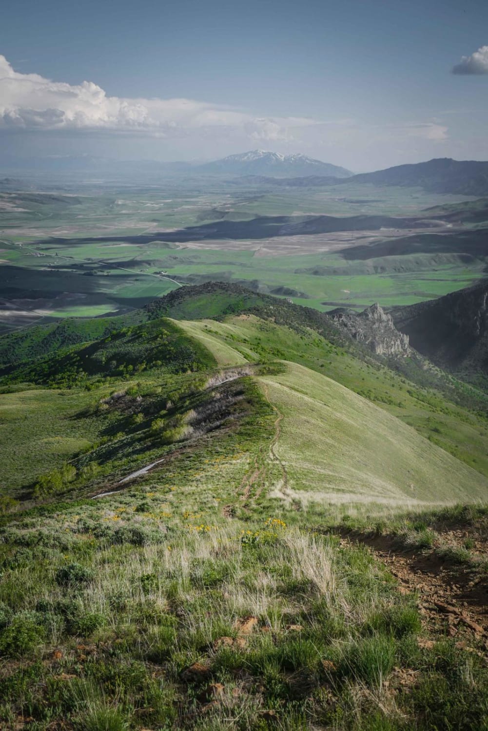
This is a really fun single track with fantastic views overlooking the mountains near Preston, Idaho. It's a ridgeline trail over several rolling green mountains. The south end of the trail starts on a really steep and rocky hill climb up to the summit of the first mountain, with a steep decline back down the other side of the mountain and a hill climb up the next hill. It continues like this for most of the trail over a beautiful mountain range with scenic valleys and lakes below you. The trail itself is narrow but the ridge lines at the tops of the mountains are pretty wide, so there isn't too much exposure. You'll have 360-degree views at the summit of Old Baldy Peak. In springtime or early summer there is potential for lingering snow drifts on the north-facing slopes of the mountains, which could make it impassable, especially if going up. Always stay on the trail. The area is so scenic with the snow drifts contrasting with the green meadows and so many wildflowers. The trail is narrow and very rocky with lots of small rocks, and bigger jagged rocks. There aren't any major rock ledges, just a very rocky trail surface. There are a couple of side hill sections with mild ledge exposure too. The trail ends and the next one starts at an unmarked intersection with Ruben Hollow to Weston Peak just before the cutoff with 433.
Photos of East Slope of Old Baldy Peak
Difficulty
This trail is a moderate single track with moderate side hilling, rocky hill climbs, and a narrow trail.
Popular Trails

Challis Creek Road

Crestline trail - Bell Marsh Creek

McBride Creek and Jump Creek Road

Marie Saddle (413)
The onX Offroad Difference
onX Offroad combines trail photos, descriptions, difficulty ratings, width restrictions, seasonality, and more in a user-friendly interface. Available on all devices, with offline access and full compatibility with CarPlay and Android Auto. Discover what you’re missing today!


