Eleven Mile - Martin Creek ATV
Total Miles
2.4
Technical Rating
Best Time
Summer, Fall
Trail Type
50" Trail
Accessible By
Trail Overview
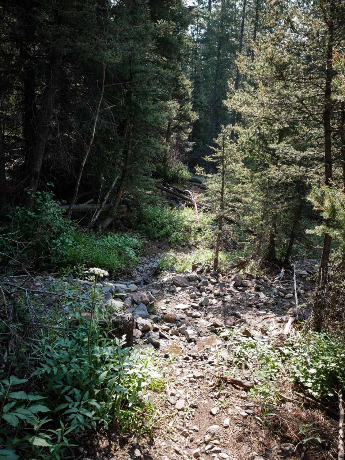
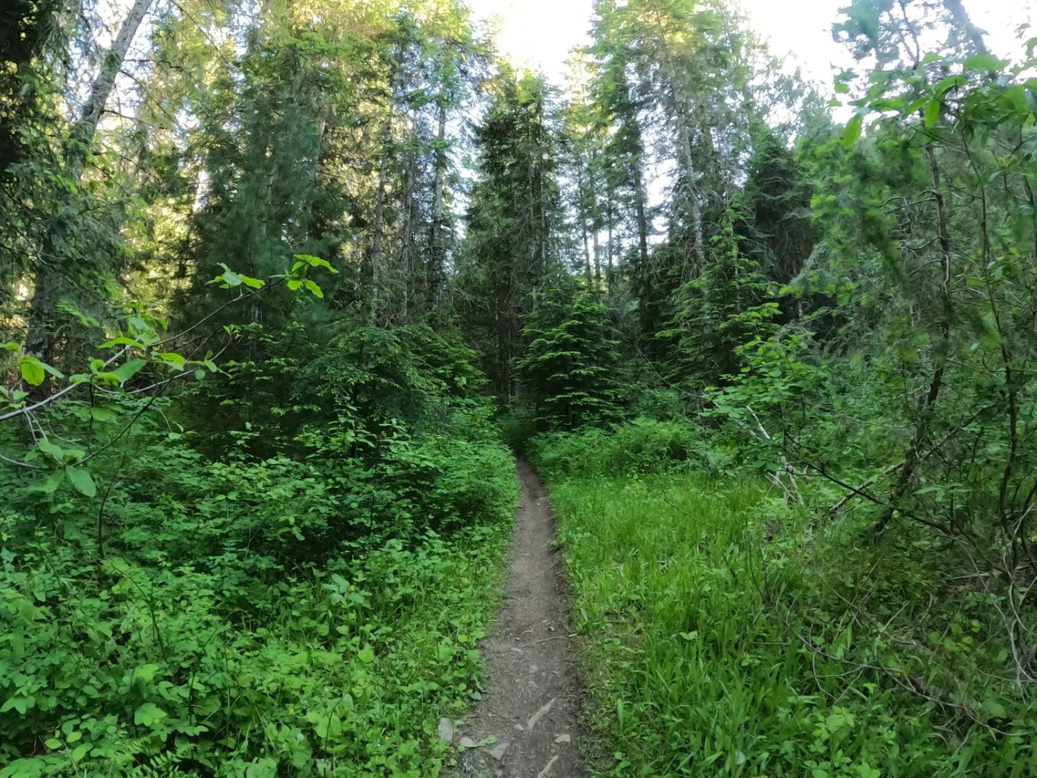
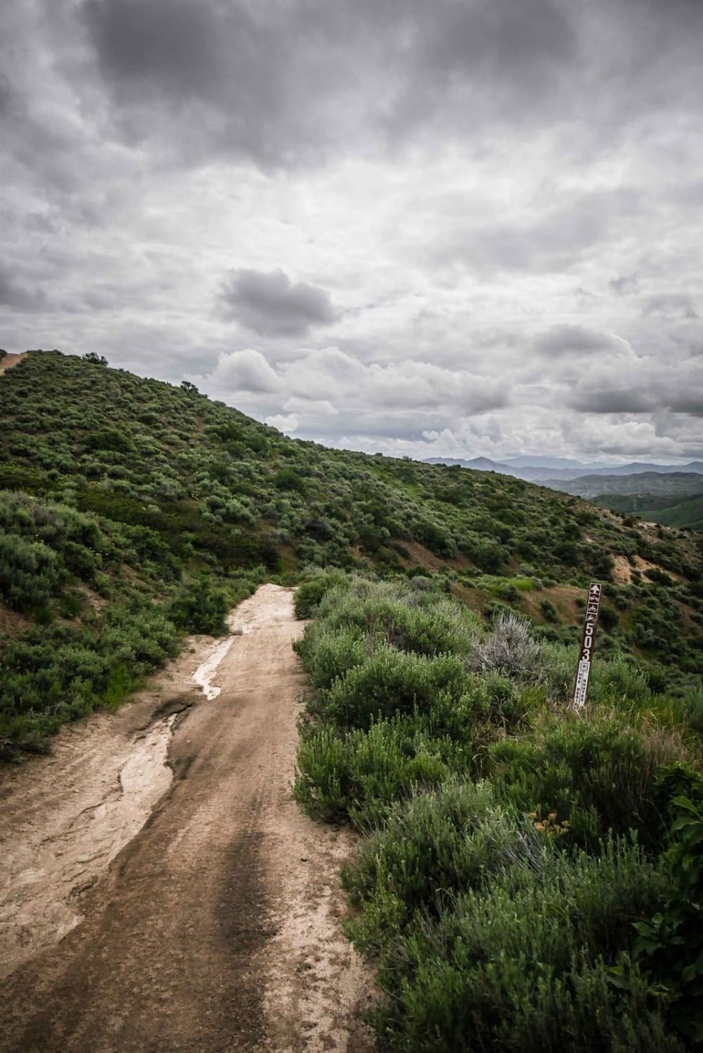
This is a 2.5-mile segment of trail that connects to the Eleven Mile - Martin Creek Singletrack. Although it's designated for vehicles 50" or less, sections of this trail have become narrow over time from mostly only being ridden by dirt bikers and would likely be too narrow now for an ATV. It looks more like a single track for most of the trail, and there isn't much evidence that ATVs have ridden it. The southern end does start like a two-track through the sagebrush but quickly narrows up, and the northern end is more like a continuation from the single track. It goes through a dense forest of pine trees with lots of embedded rock and log debris, going through small creek crossings. It traverses several mountainsides on a flat shelf trail on the mountain's edge. The trail is too narrow for an ATV in these shelfy sections, especially with exposure on the mountainside. There are also some logs down that have only been cut to dirt bike width, which would need to be cut more even to make it passable for ATVs. There are lots of constant loose pieces of rock in the trail, plus embedded boulders lining the trail, which would make it difficult for an ATV as well. The south end starts at the intersection with the Squaw Creek ATV Trail, which, although difficult, is much more suitable for ATVs if looking for a more brutal two-track ride in the area. This trail is open 7/1 - 9/30 for dirt bikes and year-round for ATVs
Photos of Eleven Mile - Martin Creek ATV
Difficulty
This trail has some intermediate features that are on the easier side for dirt bikes, including shelfy exposed sections, embedded rock, small rocky creek crossings, and the potential for downed logs. The trail has become narrower over time and isn't very suitable for ATV's anymore. If an ATV were to attempt this trail, they may run into exposed sections of trail that are too narrow, or logs needing to be cut the full width of the trail.
Status Reports
Popular Trails
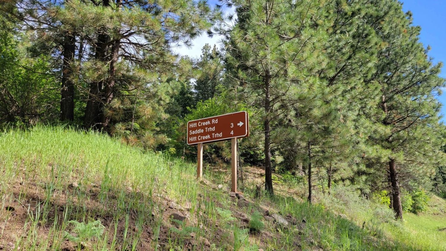
FR 573 - Hitt Creek
The onX Offroad Difference
onX Offroad combines trail photos, descriptions, difficulty ratings, width restrictions, seasonality, and more in a user-friendly interface. Available on all devices, with offline access and full compatibility with CarPlay and Android Auto. Discover what you’re missing today!

