Foss Mountain
Total Miles
6.2
Technical Rating
Best Time
Summer, Fall
Trail Type
High-Clearance 4x4 Trail
Accessible By
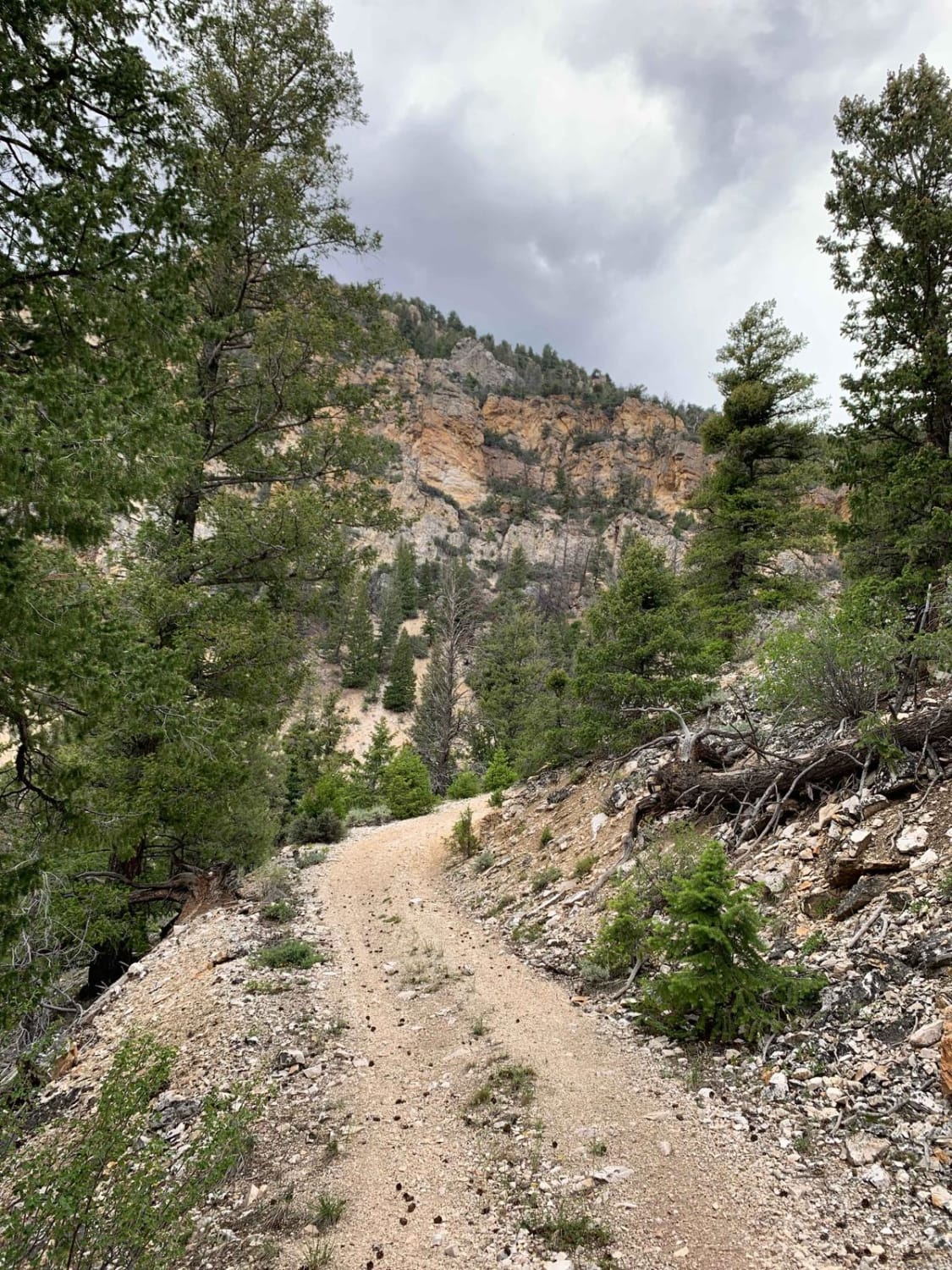
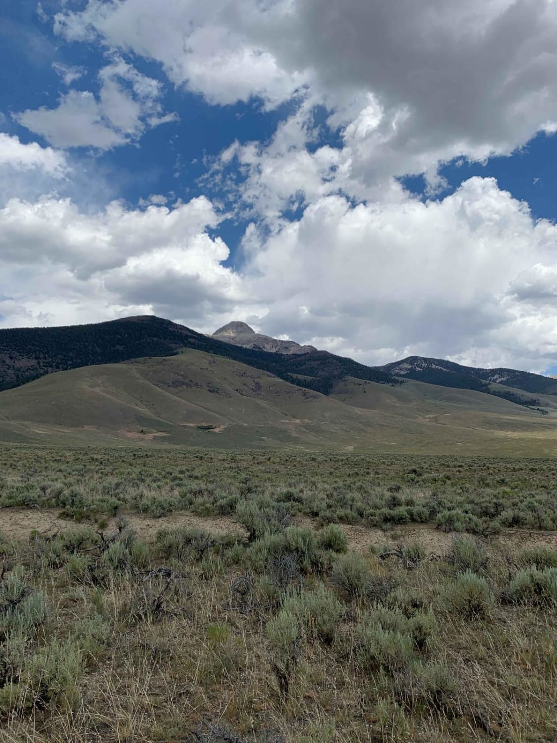
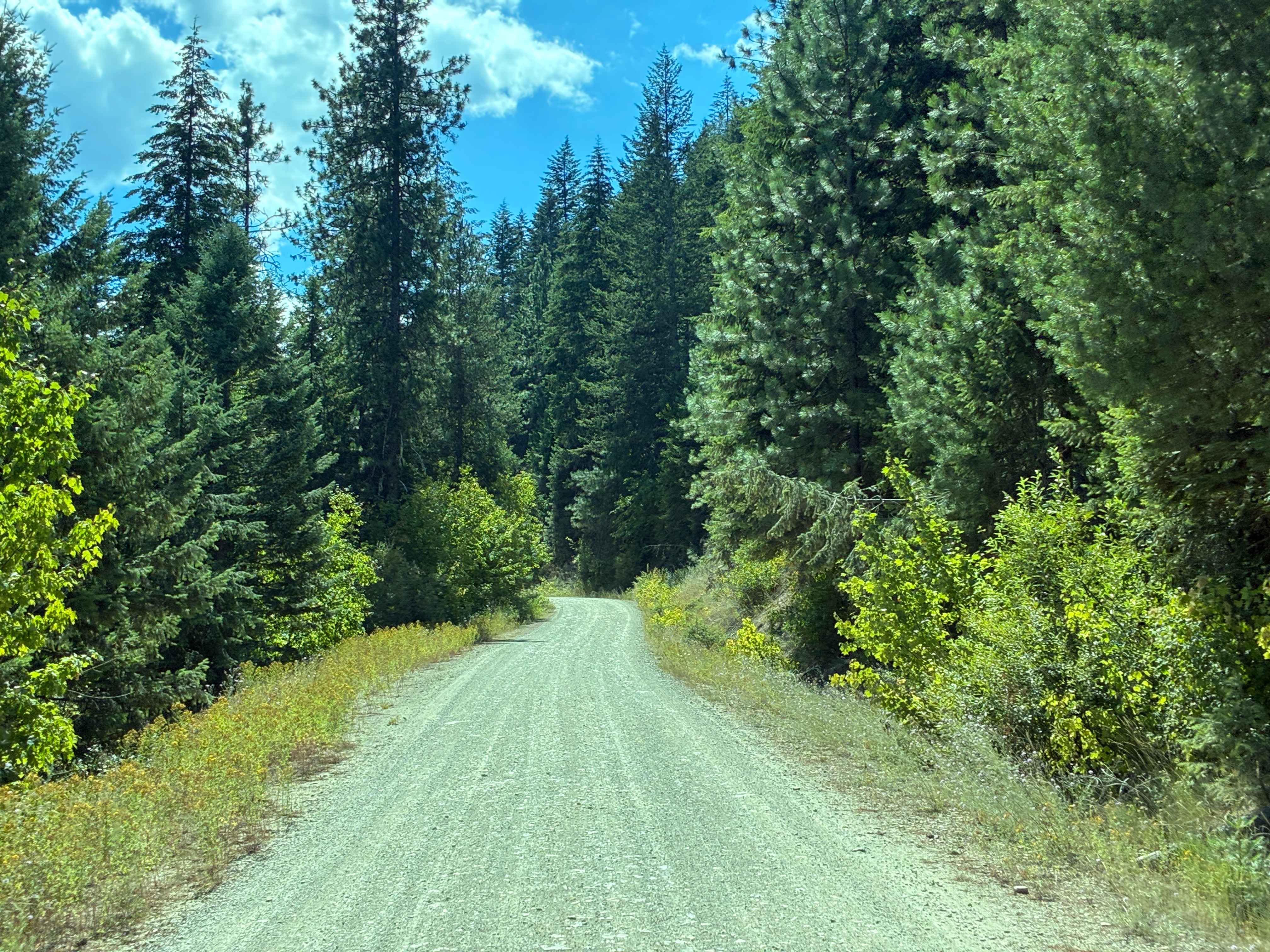
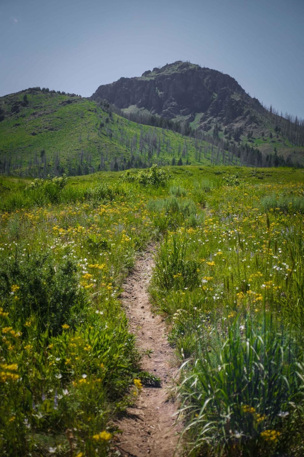
Trail Overview
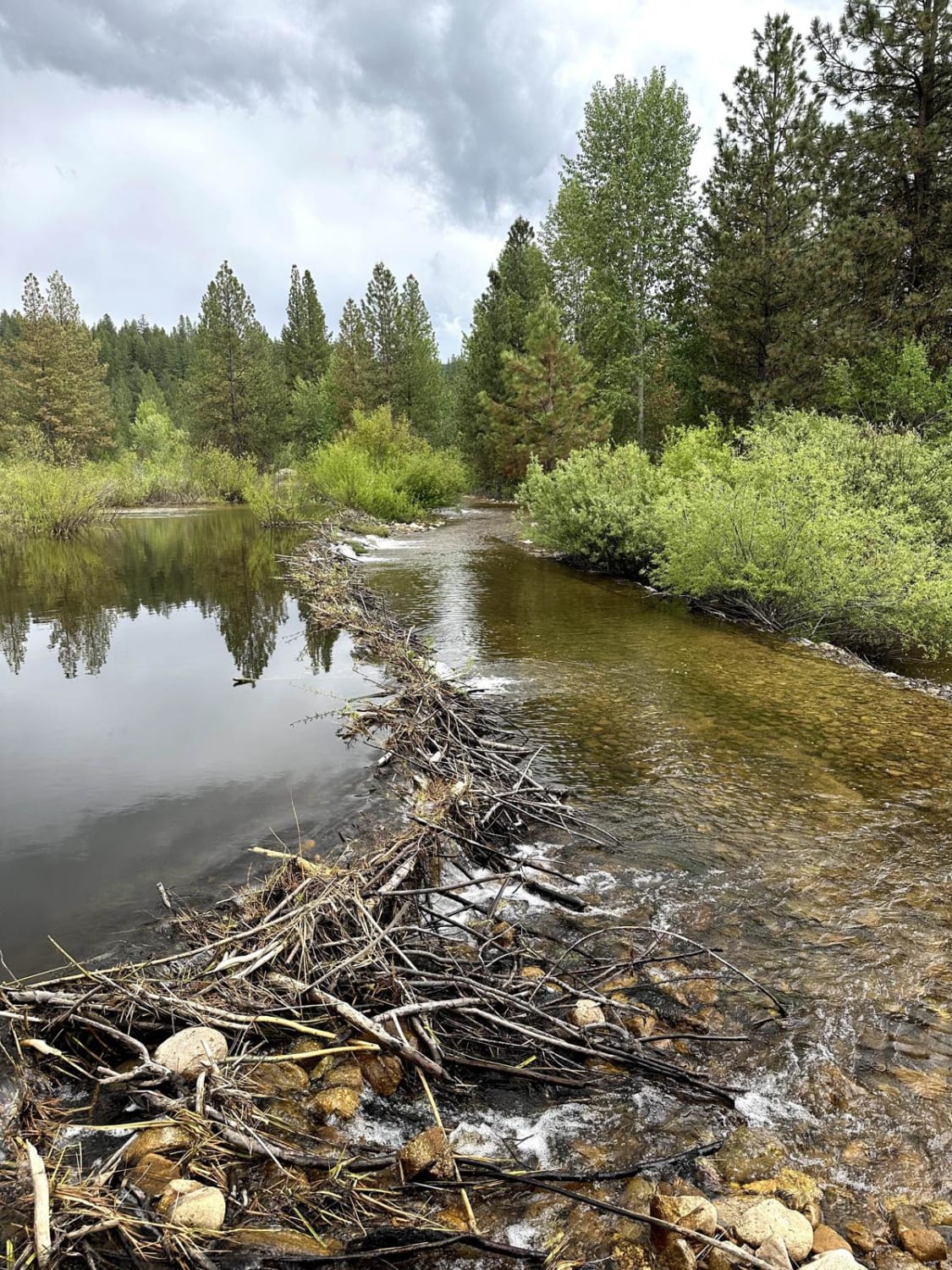
This route takes you from just below 6,000' to a little over 9,000' in elevation in just over 6 miles. It has sweeping views of the Little Lost River Valley, including Hawley Mountain, Pass Creek Summit, and Bell Mountain. The ecosystems of the area are very diverse as you start on a desert floor with the Little Lost River flowing through, and you climb to green and lush benches of the mountain. If you are looking for a great view of Bell Mountain and the Little Lost River Valley, this is a great trail for it.
Photos of Foss Mountain
Difficulty
Very rocky with tight switchbacks as you start to peak. If a vehicle other than a SxS or dirt bike is used length of the vehicle should be considered
History
This trail was cut by miners to mine iron and was a very passable trail at the time. Since it was abandoned in place and very minimal maintenance has been performed by the Forest Service, it has turned into a very fun little climb to sweeping views.
Status Reports
Foss Mountain can be accessed by the following ride types:
- High-Clearance 4x4
- SxS (60")
- ATV (50")
- Dirt Bike
Foss Mountain Map
Popular Trails
Mahoney Ridge

Dry State OHV
Missouri Mine Trail
The onX Offroad Difference
onX Offroad combines trail photos, descriptions, difficulty ratings, width restrictions, seasonality, and more in a user-friendly interface. Available on all devices, with offline access and full compatibility with CarPlay and Android Auto. Discover what you’re missing today!