FS 536-Keating Ridge Road
Total Miles
3.8
Technical Rating
Best Time
Spring, Summer, Fall
Trail Type
Full-Width Road
Accessible By
Trail Overview
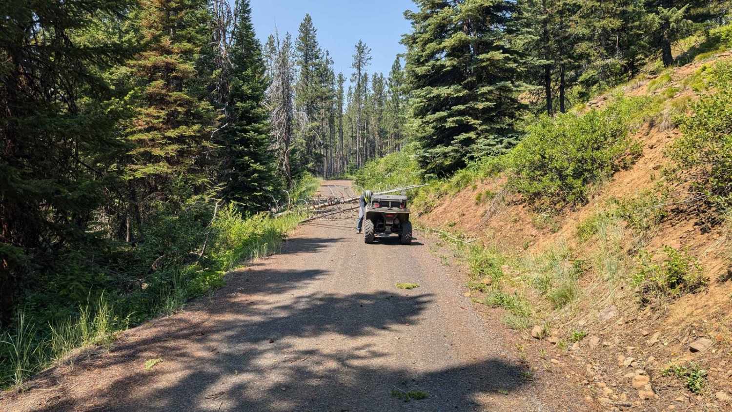
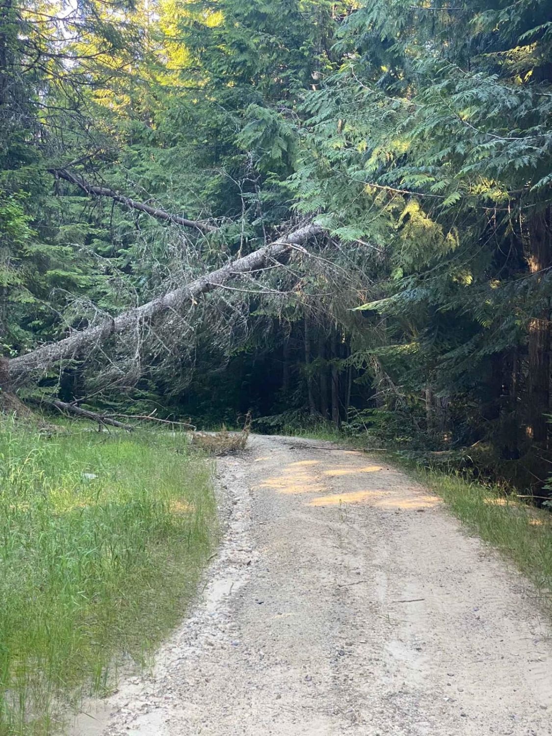
FS 536/Keating Ridge Road turns North off NF221 C/FDR Grangeville-Salmon Road approximately 9.4 miles from FDR 1614/Big Salmon Road. Keating Ridge is 3.8 miles long (one way) and ties into FR 441-Nut Basin. The road is a mix of sand and dirt. There are a few minor ruts. The scenery is beautiful as the road winds through pine trees with glimpses of surrounding mountains and valleys. A chainsaw or winch on a vehicle may come in handy to remove any trees or larger limbs that could fall due to recent storms in the area. This is a fun area to explore. There are fire lookouts in the area. Some are still operated during the summer months. Some of the lookouts are ruins, but still worth checking out. The views alone are worth it! Keating Ridge Road is located in the Nez Perce National Forest and is managed by the Salmon River Ranger District.
Photos of FS 536-Keating Ridge Road

Difficulty
The road is one lane with a few ruts and bumps.
Status Reports

Popular Trails

Bing Cherry Trail

Forest Service Rd 3320E West

Cedar Mountain 389
The onX Offroad Difference
onX Offroad combines trail photos, descriptions, difficulty ratings, width restrictions, seasonality, and more in a user-friendly interface. Available on all devices, with offline access and full compatibility with CarPlay and Android Auto. Discover what you’re missing today!