Kane Springs Road
Total Miles
7.7
Technical Rating
Best Time
Spring, Summer, Fall
Trail Type
Full-Width Road
Accessible By
Trail Overview
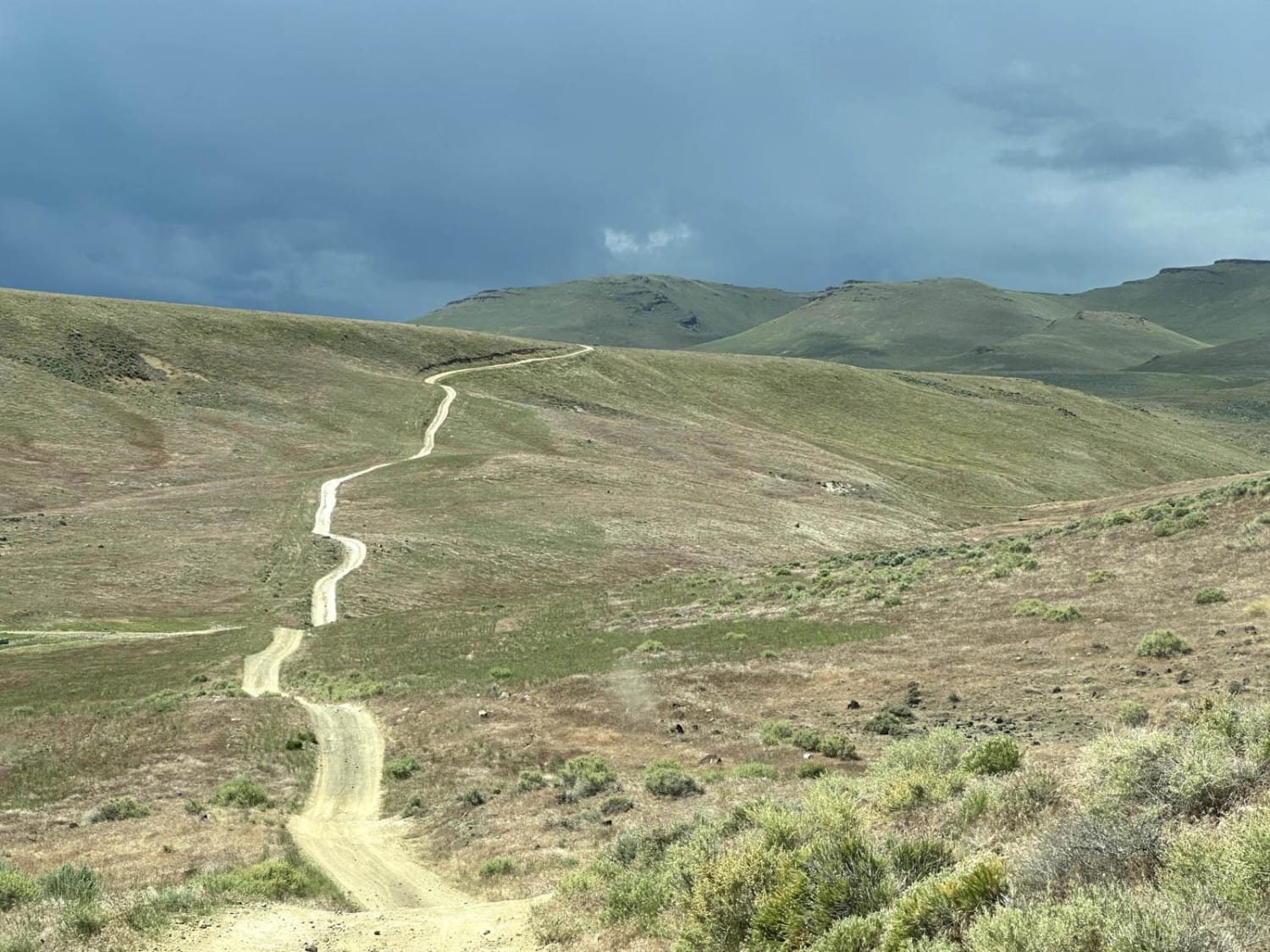
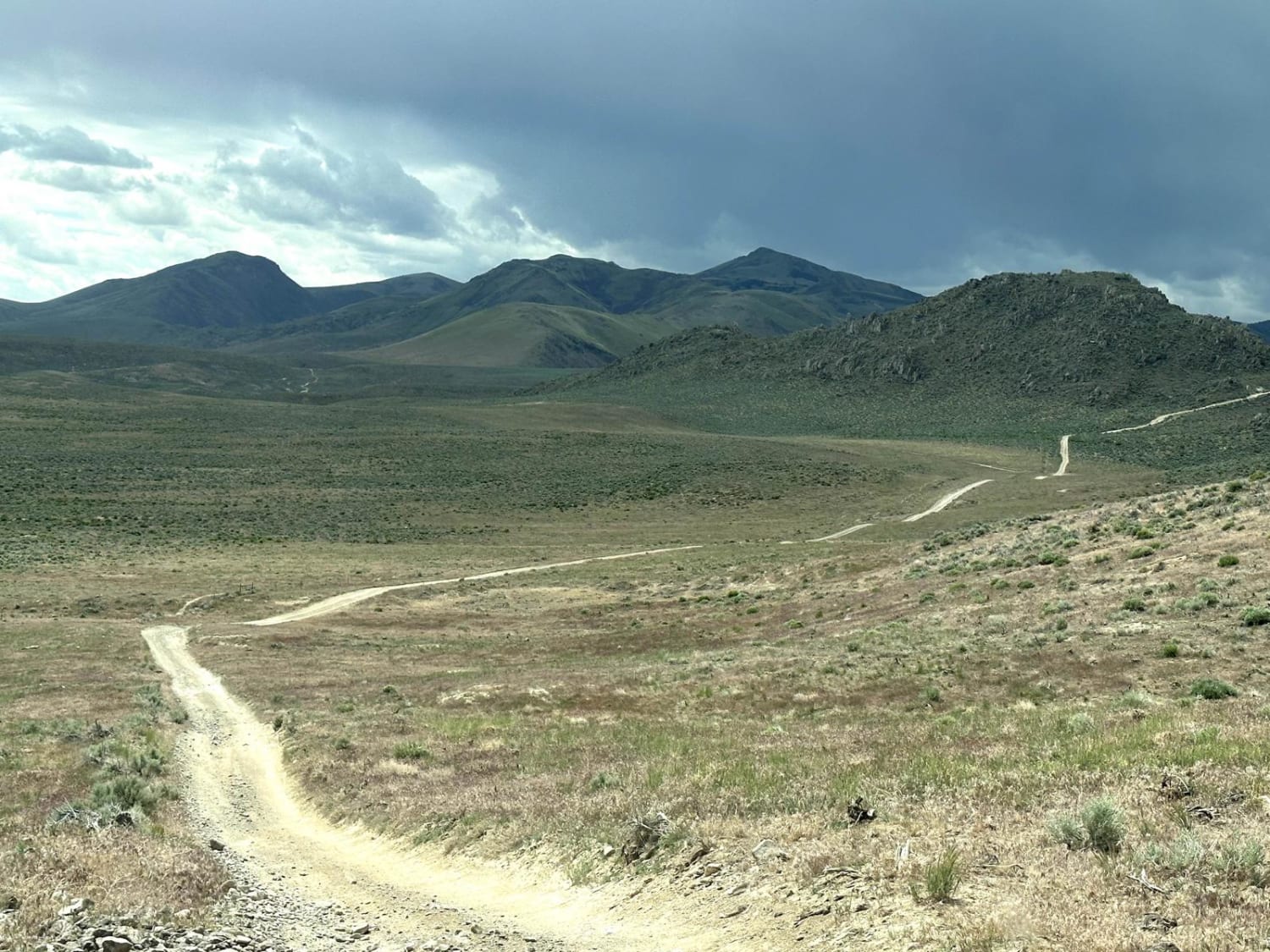
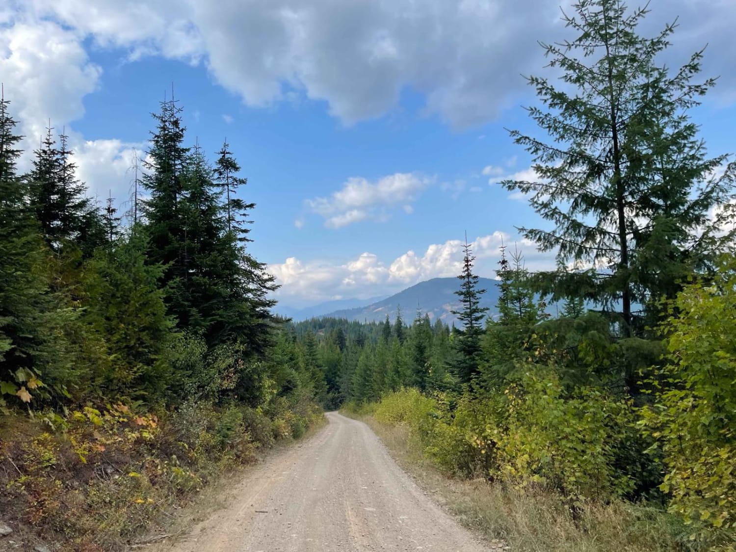
This 7.9-mile point-to-point trail traverses the Owyhee Mountain Range from Kane Springs Trailhead to Reynolds Creek Stage Road. There are many different trails that spur off of Kane Springs Road and are an excellent connector from the trails in the Kane Spring Area to the Rabbit Creek Area. Many spectacular mountain views along this trail.
Photos of Kane Springs Road
Difficulty
This is a single-vehicle trail with a lot of turnout areas. All obstacles are less than 12" in height. It is passable by stock 4WD vehicles.
Popular Trails

Van Noy-Stoddard Trail

Beauty Bay/Harrison

C-46 Plane Crash Site
The onX Offroad Difference
onX Offroad combines trail photos, descriptions, difficulty ratings, width restrictions, seasonality, and more in a user-friendly interface. Available on all devices, with offline access and full compatibility with CarPlay and Android Auto. Discover what you’re missing today!


