Little Basin Cutoff
Total Miles
2.0
Elevation
2,285.59 ft
Duration
0.5 Hours
Technical Rating
Best Time
Summer, Fall
Trail Overview
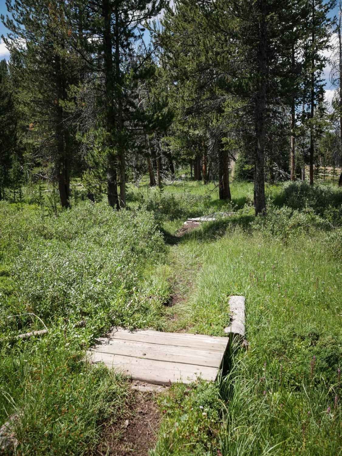
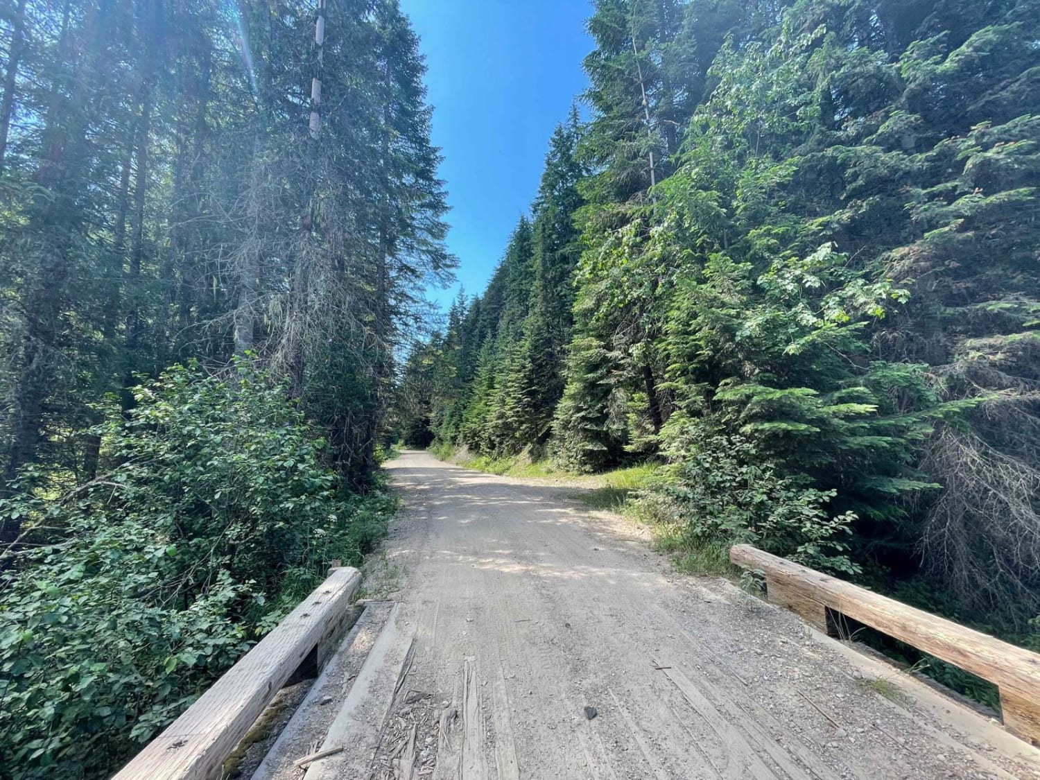
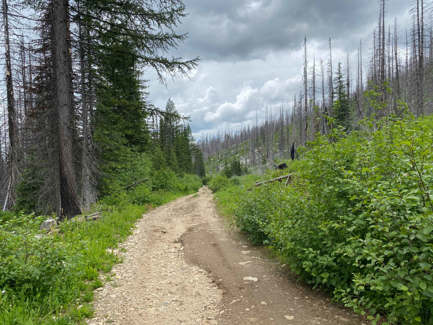
This is a 2-mile connector trail that starts at Basin Butte Road on the border of the Sawtooth National Forest and the Challis National Forest. It's mostly flat, but gradually climbs up to the intersection with Little Basin Creek and the East Fork Valley singletracks. It's a very narrow trail, one tire wide at times, that goes through an old burn area with lots of downed logs on the side of the trail. Most of the downed logs are cut, but there are some extending over the trail that still need to be cut or will have to be jumped over. It goes through a lot of grassy meadows and has little wooden bridges over small creeks through the pine trees. It does some side-hilling with mild exposure, and essentially has no rocks, so it's a pretty easy trail overall. This area can be really hot and dusty in the summer.
Photos of Little Basin Cutoff

Difficulty
This is an easy connector trail with hardly any rocks, but does have some really narrow sections, and mild exposure when it side-hills across the mountains. It's overall a short easy connector trail.
Status Reports
Popular Trails

Lone Cabin Creek

Peterson Creek Road
The onX Offroad Difference
onX Offroad combines trail photos, descriptions, difficulty ratings, width restrictions, seasonality, and more in a user-friendly interface. Available on all devices, with offline access and full compatibility with CarPlay and Android Auto. Discover what you’re missing today!