Mahoney - Lodgepole Connector
Total Miles
1.1
Technical Rating
Best Time
Fall, Summer, Spring
Trail Type
Single Track
Accessible By
Trail Overview
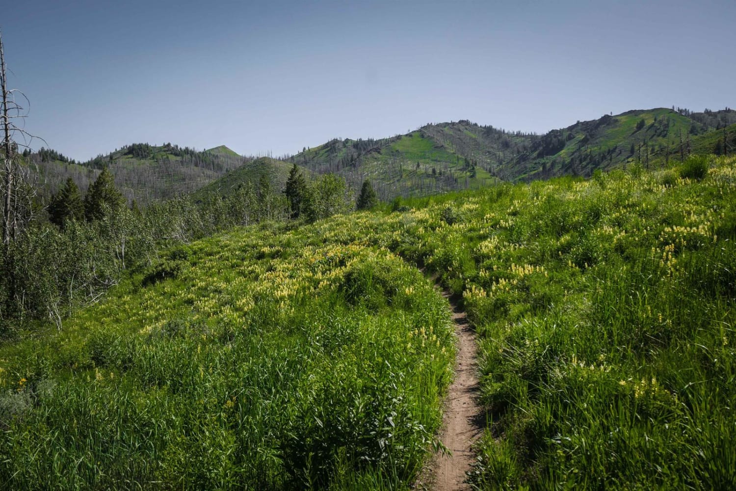
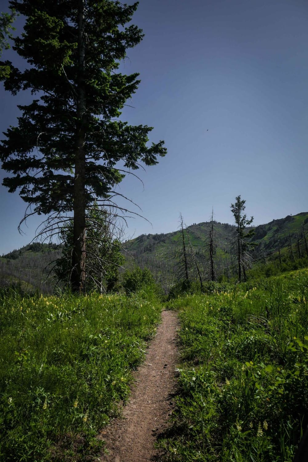
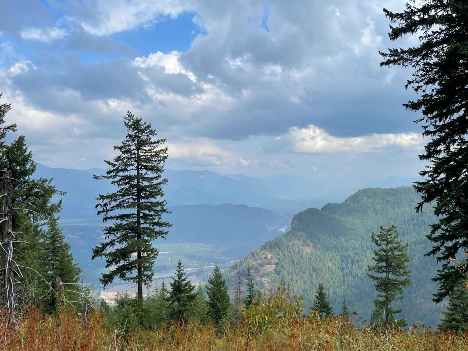
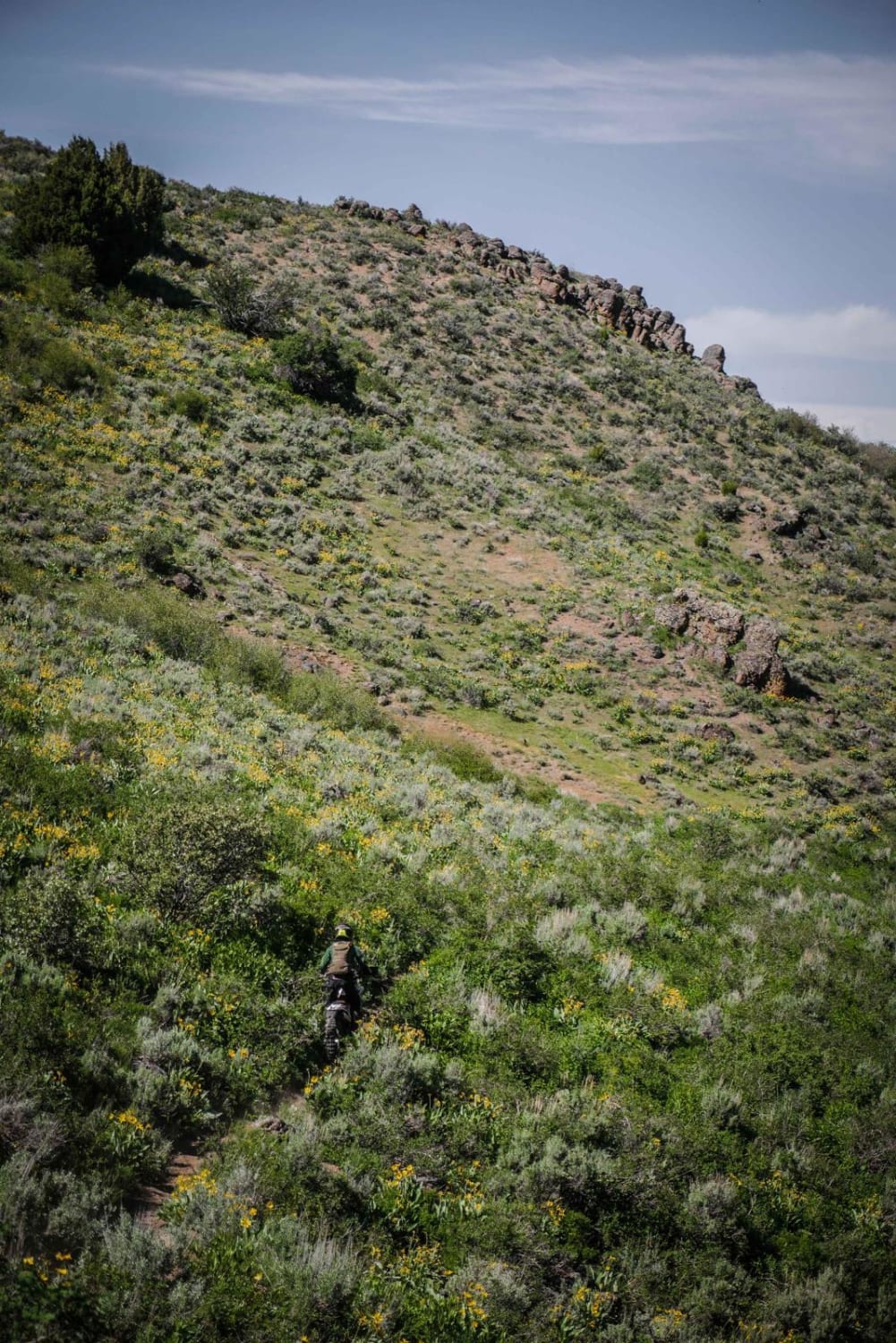
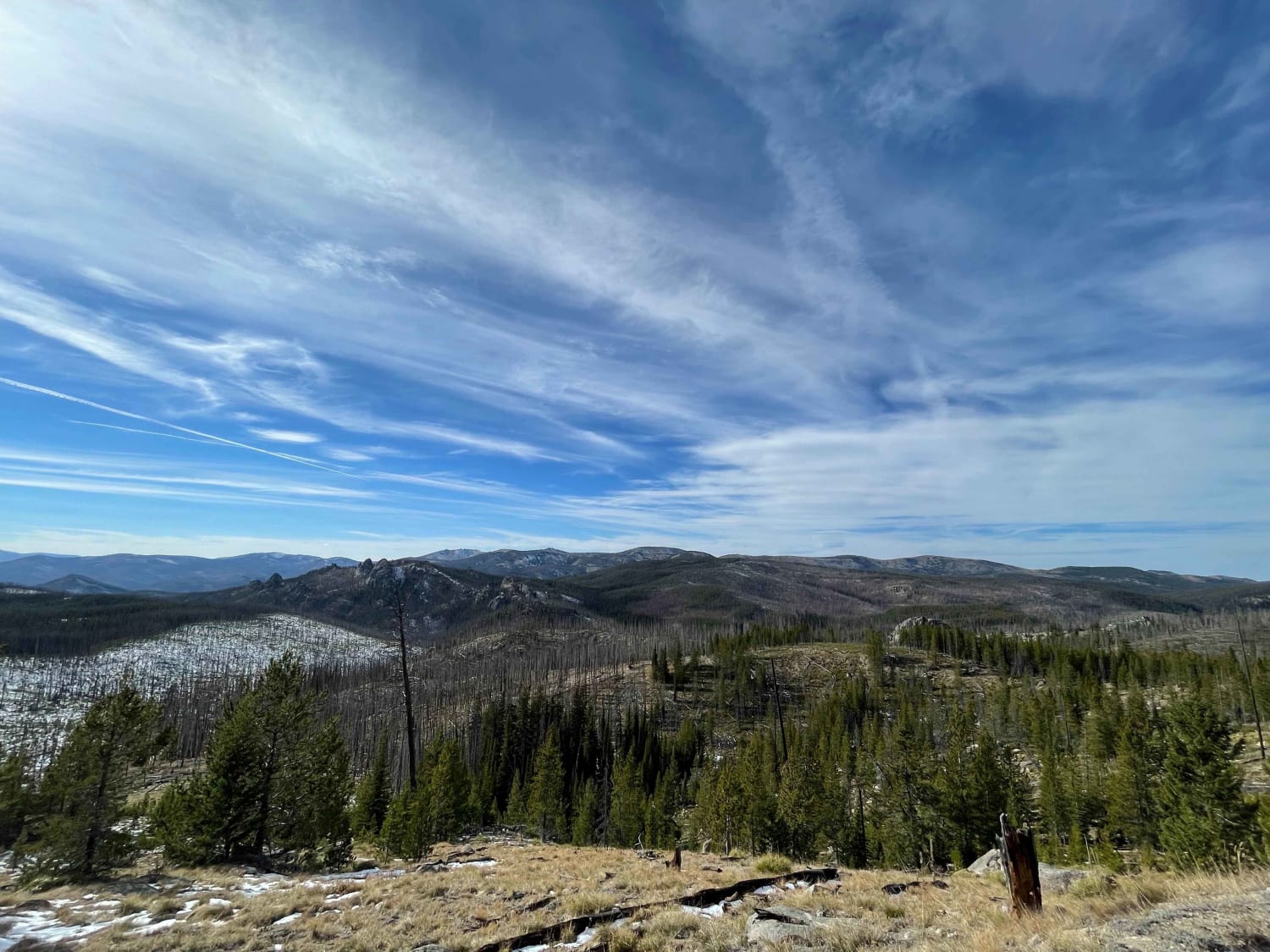
This connector trail starts from Red Warrior - Lodgepole with a loose rocky downhill into some tight switchbacks that have a lot of loose rock as well. The switchbacks get wider and more sweeping as you continue to drop down the hill to the intersection with Mahoney Butte. The trail has a view of the burn area on the hillside in front of you and expansive views of these rolling green hills as it goes through beautiful meadows full of wildflowers and a couple of treed sections of shade. This is a good way to access some of the trails farther south in the trail system.
Photos of Mahoney - Lodgepole Connector
Difficulty
Intermediate connector trail with loose rock and tight switchbacks.
Status Reports
Mahoney - Lodgepole Connector can be accessed by the following ride types:
- Dirt Bike
Mahoney - Lodgepole Connector Map
Popular Trails

Elk-Morris Connection
West End of Stateline Road
The onX Offroad Difference
onX Offroad combines trail photos, descriptions, difficulty ratings, width restrictions, seasonality, and more in a user-friendly interface. Available on all devices, with offline access and full compatibility with CarPlay and Android Auto. Discover what you’re missing today!
