McKay - Eleven
Total Miles
4.5
Technical Rating
Best Time
Summer
Trail Type
Single Track
Accessible By
Trail Overview
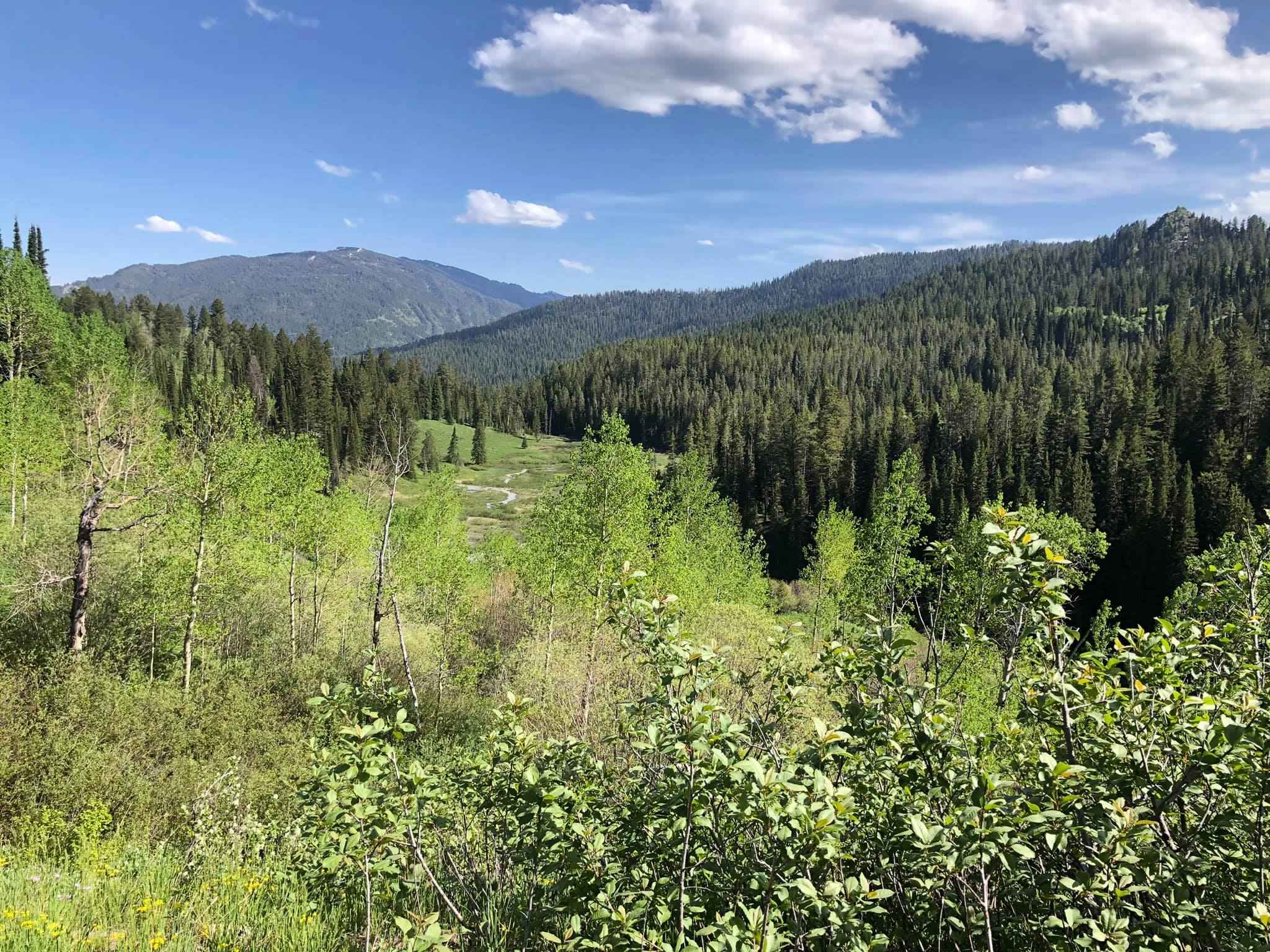
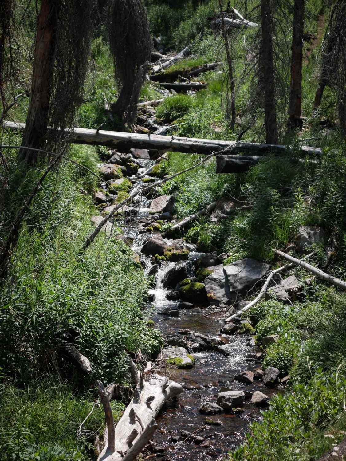
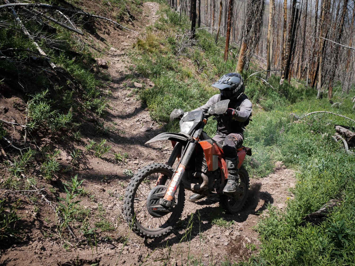
McKay - Eleven is a more challenging single track in the Challis National Forest that connects Squaw Creek and Eleven Mile - Martin Creek. The northeast end starts on the Custer Motorway, on a dry hillside in tall pine trees. There is a ton of downfall here, and several logs are sticking out at acute angles over the trail that you need to watch out for and ensure not to impale your legs on. Some of the logs are lying across the trail, elevated a few inches off the ground, making it where you must get your bike up and over them. Despite the logs, the trail's beginning is fast, flowy, and smooth, with only some embedded rock, small roots, and dips you have to check up for. It goes through green, vast, open, grassy meadows and burn areas. The first 3.5 miles are constantly climbing up, going up several steep and tight switchbacks on a shelf trail. Crossing camber between the switchbacks on a narrow shelf trail with elevated exposure would be best. One spot is more exposed as an embedded rock outcropping encroaching over the trail you must get past. It parallels a beautiful creek and starts to have more rock on the trail's surface as it goes west, then becomes muddy and overgrown for a section. The trail goes through easy stream crossings, and one section becomes faint through a big grassy meadow. Having a map to know where to cross the meadow is helpful since the track is nonexistent. It goes through more sections of burn scar on a mountain top, then drops down the backside of the mountain on a steep log-filled descent that is loose and narrow with switchbacks. The last mile is a constant steep downhill. This trail is open 7/1 - 9/30 for motorized use.
Photos of McKay - Eleven
Difficulty
This is a 7 difficulty due to lots of challenging features such as steep switchbacks, loose hill climbs and descents, and exposure during narrow side-hilling sections. This trail appears to be less trafficked, so had lots of uncut logs as of July 2024. The difficulty could increase or decrease based on the amount of logs.
Status Reports
Popular Trails

Frenchman Creek

Leaton Gulch Up and Over Grouse Mountain

Jensen Forest Road
The onX Offroad Difference
onX Offroad combines trail photos, descriptions, difficulty ratings, width restrictions, seasonality, and more in a user-friendly interface. Available on all devices, with offline access and full compatibility with CarPlay and Android Auto. Discover what you’re missing today!


