Packsaddle Lake
Total Miles
12.3
Technical Rating
Best Time
Fall, Summer
Trail Type
50" Trail
Accessible By
Trail Overview
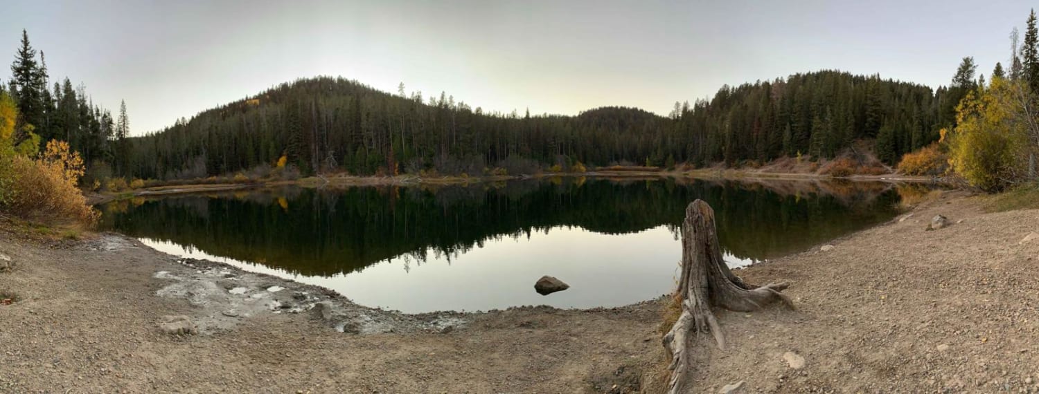
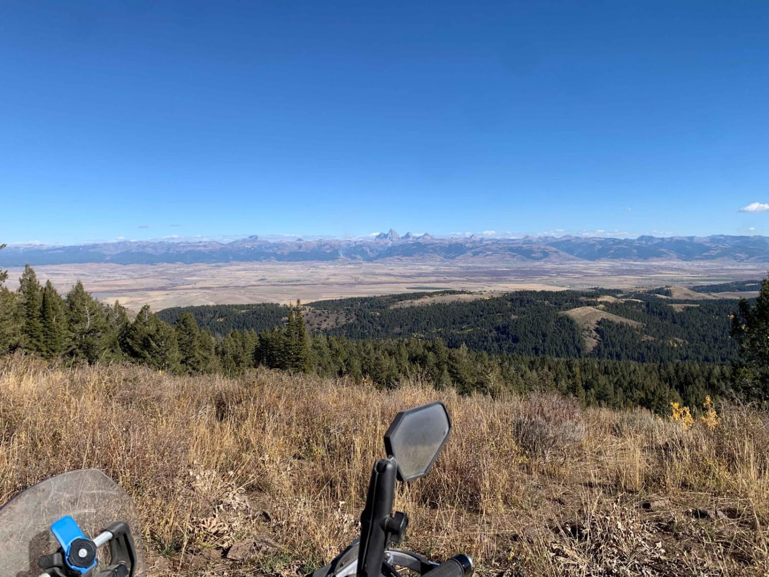
This route takes you to a natural lake named Packsaddle Lake from the northern edges of the Big Hole Range. There are amazing views of the Tetons along the way, including views across the Snake River Plain and of Big Southern Butte, the Menan Buttes, the Bitterroot, Lemhi, and Lost River Ranges. This is a must-ride route in the Big Hole Range. If you are not able to ride to the area on a 50-inch or less ATV or motorcycle, be sure to go to the viewpoint below, but access the lake and hike down from Trail 381 (Packsaddle Lake). The parking area is at 43.77412, -111.33892.
Photos of Packsaddle Lake
Difficulty
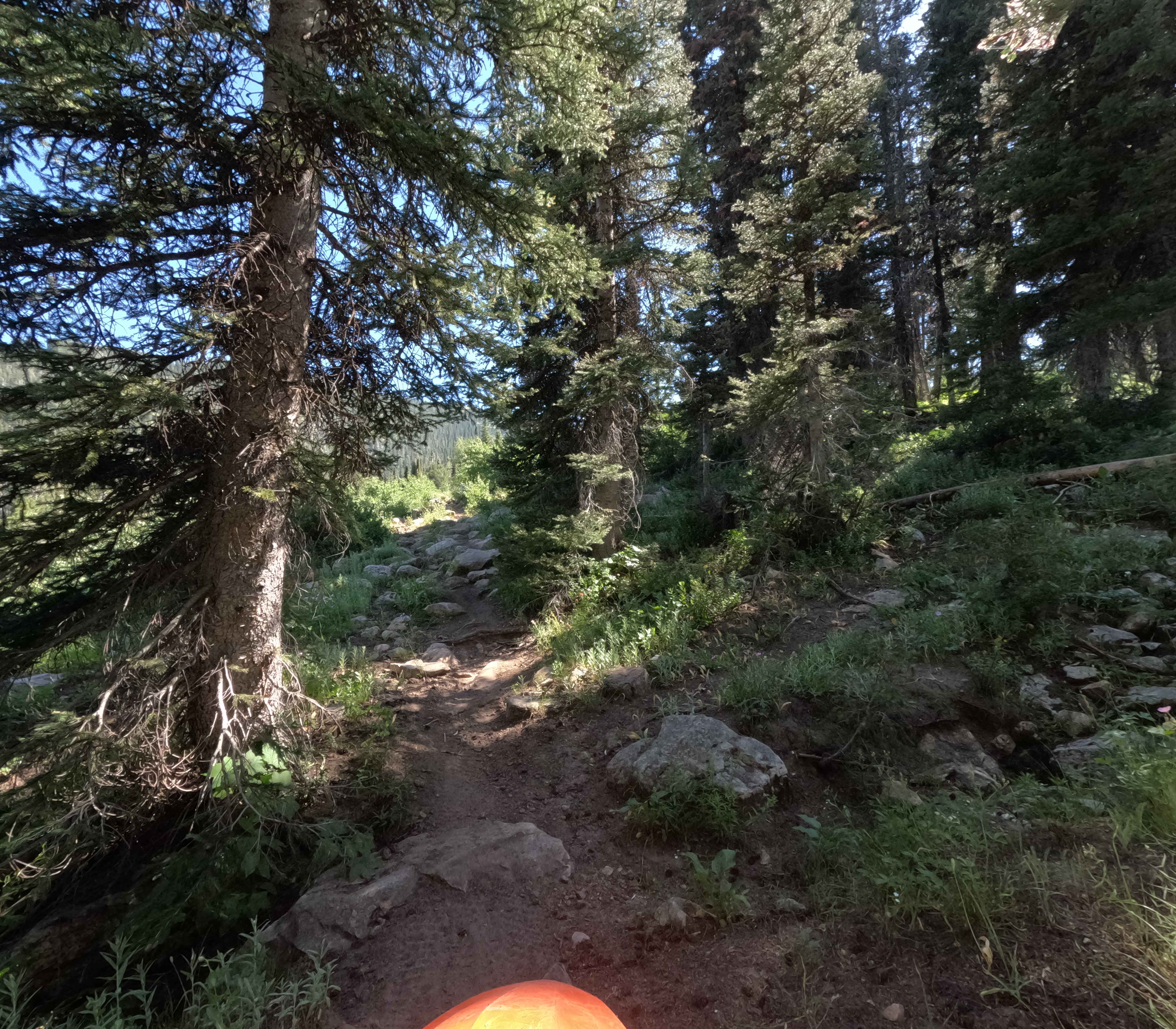
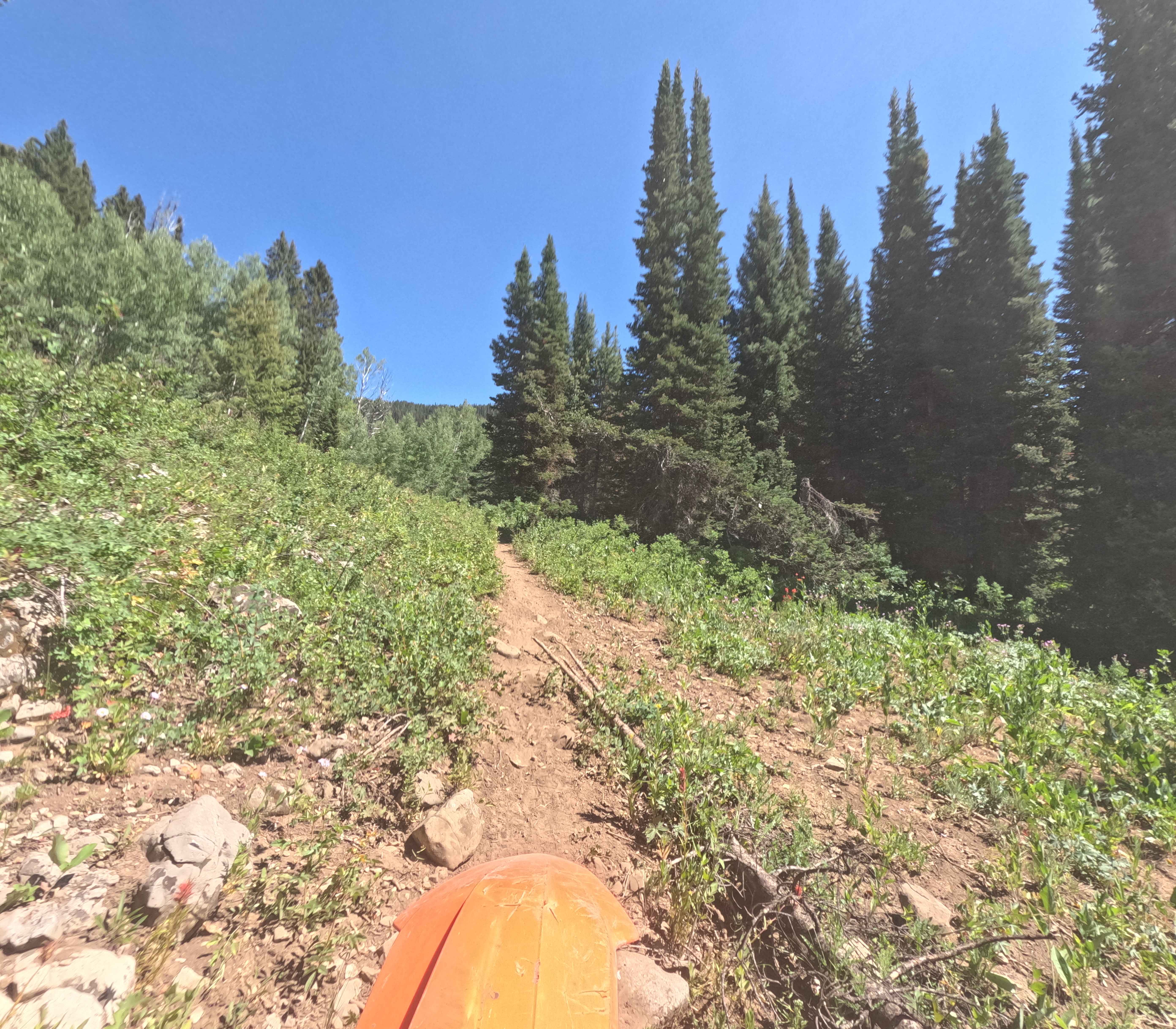
The switchbacks down to the lake can make a novice rider nervous and there is a lot of loose rock along the route.
Status Reports
Packsaddle Lake can be accessed by the following ride types:
- ATV (50")
- Dirt Bike
Packsaddle Lake Map
Popular Trails

4th July - Copper Creek - 3097
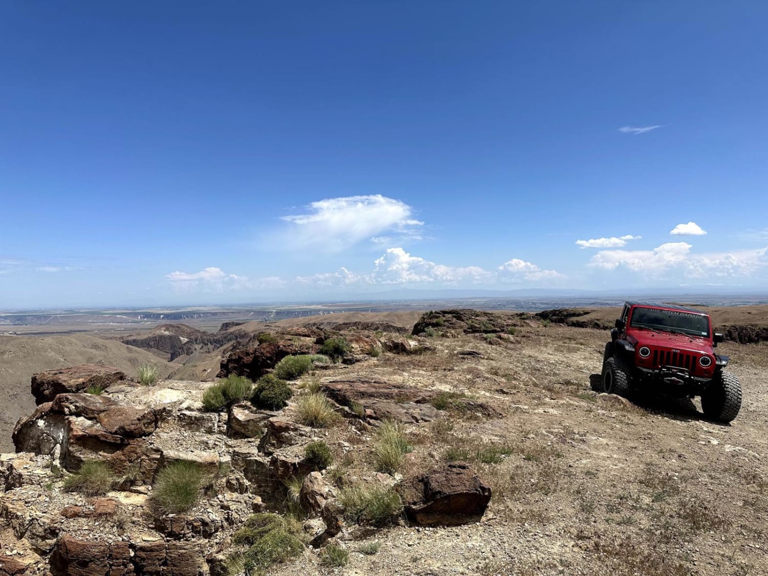
Reynolds Creek Rim Overlook
The onX Offroad Difference
onX Offroad combines trail photos, descriptions, difficulty ratings, width restrictions, seasonality, and more in a user-friendly interface. Available on all devices, with offline access and full compatibility with CarPlay and Android Auto. Discover what you’re missing today!
