Pumpjack Plateau
Total Miles
5.9
Technical Rating
Best Time
Spring, Summer, Fall
Trail Type
Full-Width Road
Accessible By
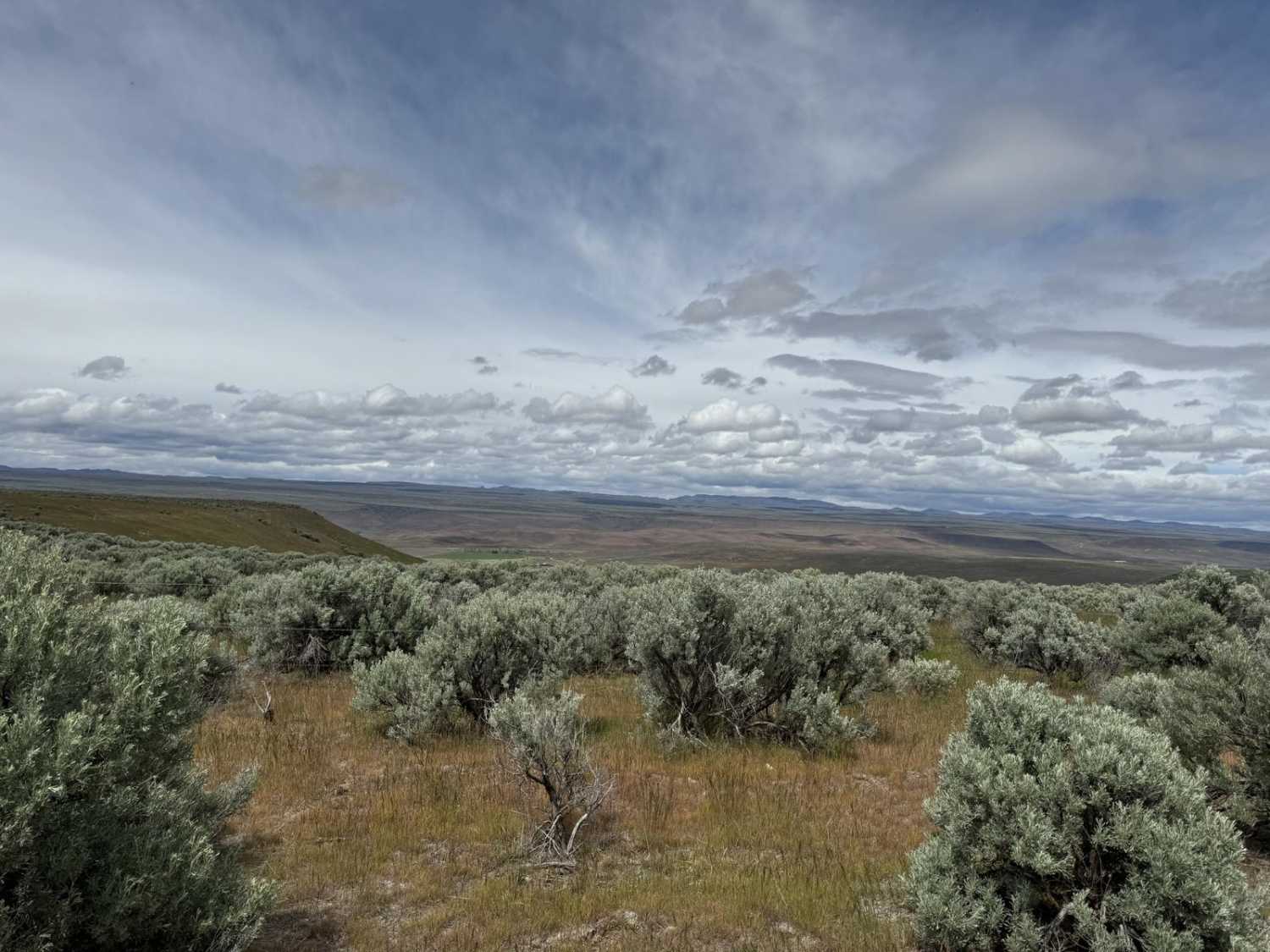
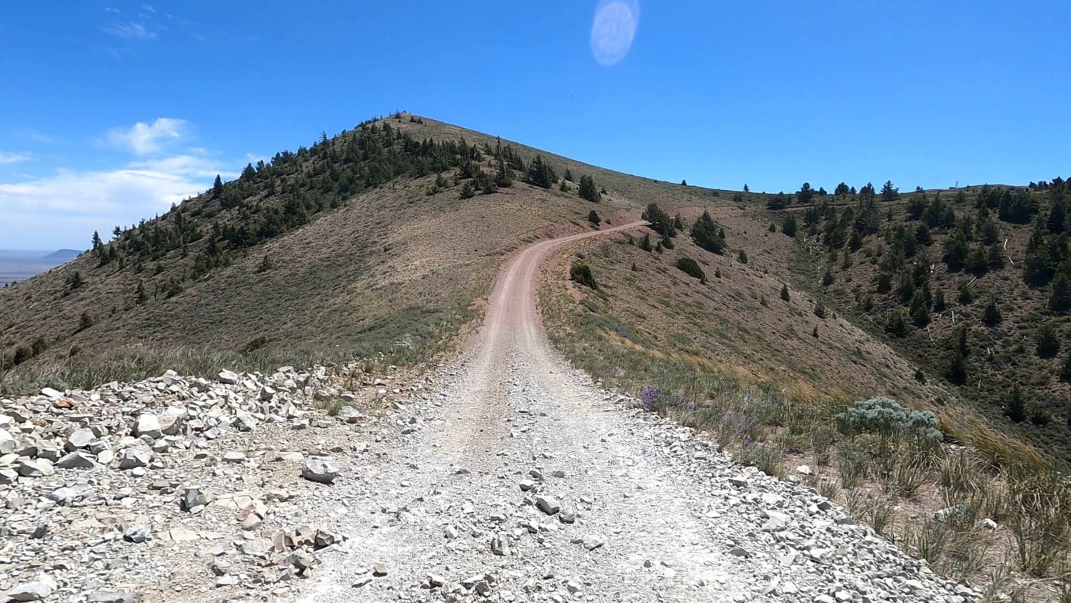
Trail Overview
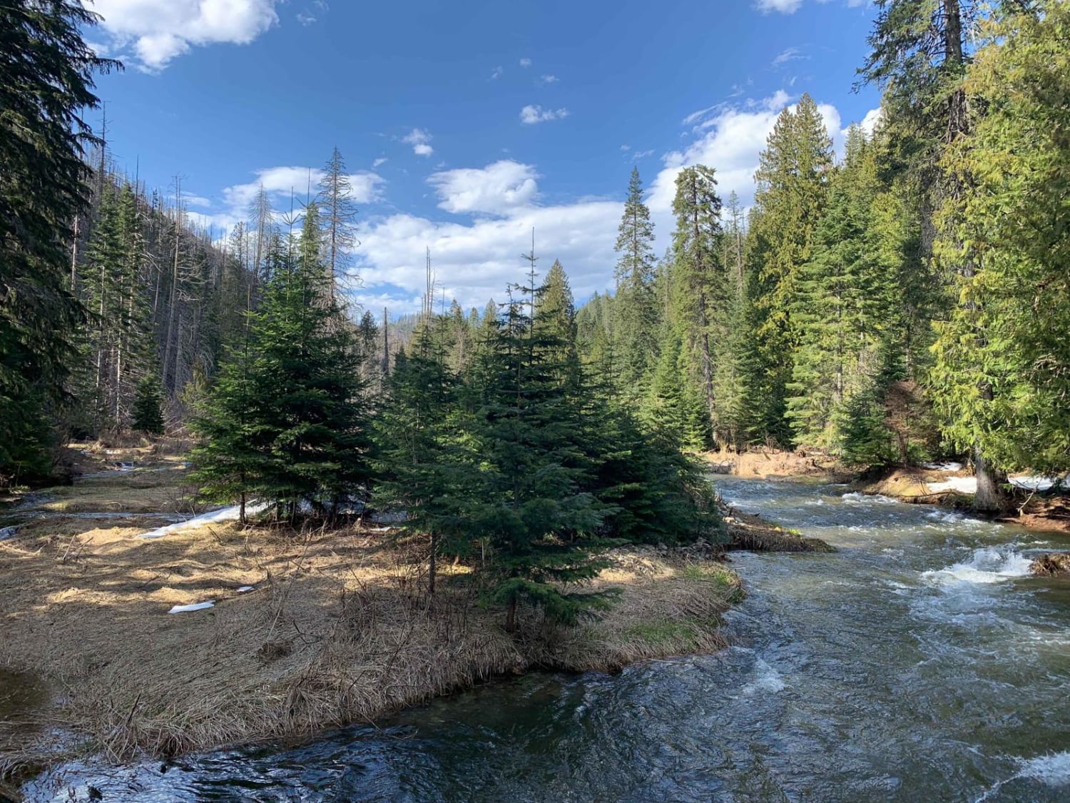
Venture out on one of the many plateaus overlooking the Snake River Plain, stop by the original Pumpjack used for pumping water for livestock, or venture out onto any corner of the plateau and take in the beautiful views of the farmland and Clover Creek down in the valleys below. Many more offshoots take you on further adventures into the canyons below with a wide variety of wildlife to see and even wildflowers in the spring. Take it all in and enjoy a short, sweet, and relatively easy route for part of a day.
Photos of Pumpjack Plateau

Difficulty
The well traveled portion of the road is very rutted and can be extremely muddy in the early spring and after rain storms. Portions of the road cross rocky patches and have to be approached with caution. It's not recommended for low-clearance vehicles.
History
This is primarily used for checking on livestock during grazing time of the year. An old well, pumping station, holding pond, holding tank, and watering troughs are still present and interesting to look at.
Status Reports

Popular Trails

Soda Creek- FS 1172

Dry Creek-Cliff Creek
West Fork Eagle Creek (805)
Big Southern Butte
The onX Offroad Difference
onX Offroad combines trail photos, descriptions, difficulty ratings, width restrictions, seasonality, and more in a user-friendly interface. Available on all devices, with offline access and full compatibility with CarPlay and Android Auto. Discover what you’re missing today!