Sky Line
Total Miles
9.1
Technical Rating
Best Time
Summer
Trail Type
Full-Width Road
Accessible By
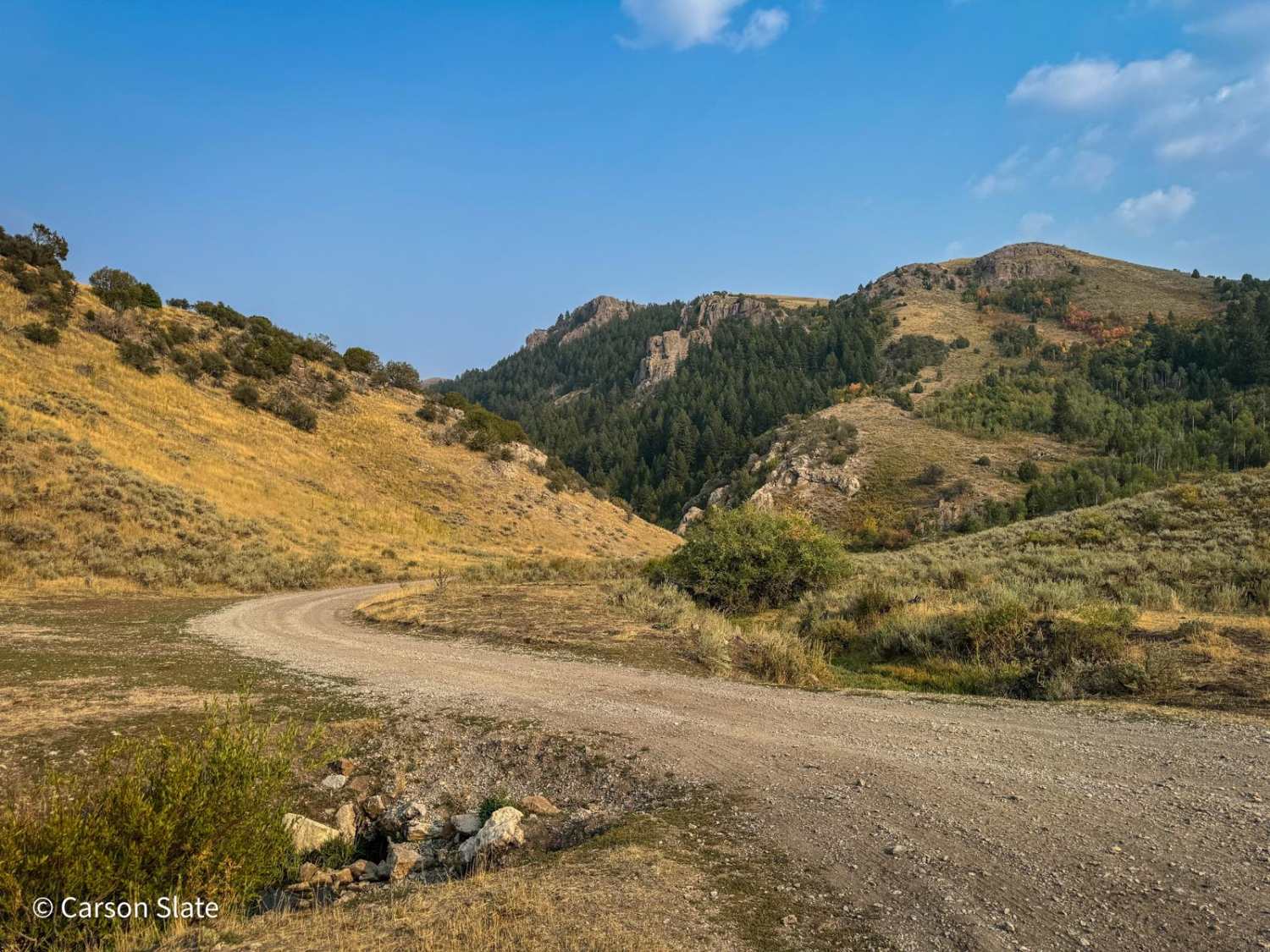
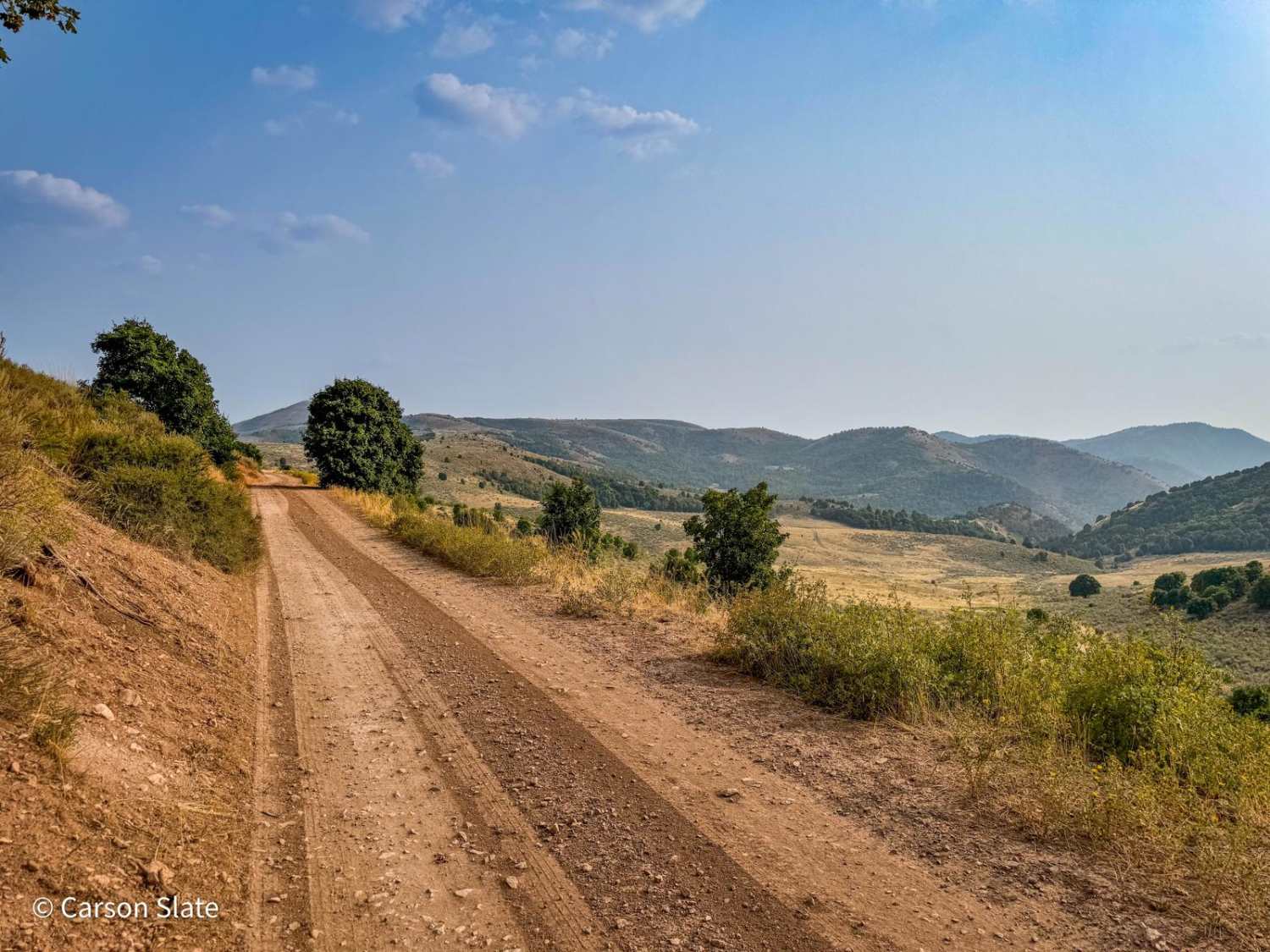
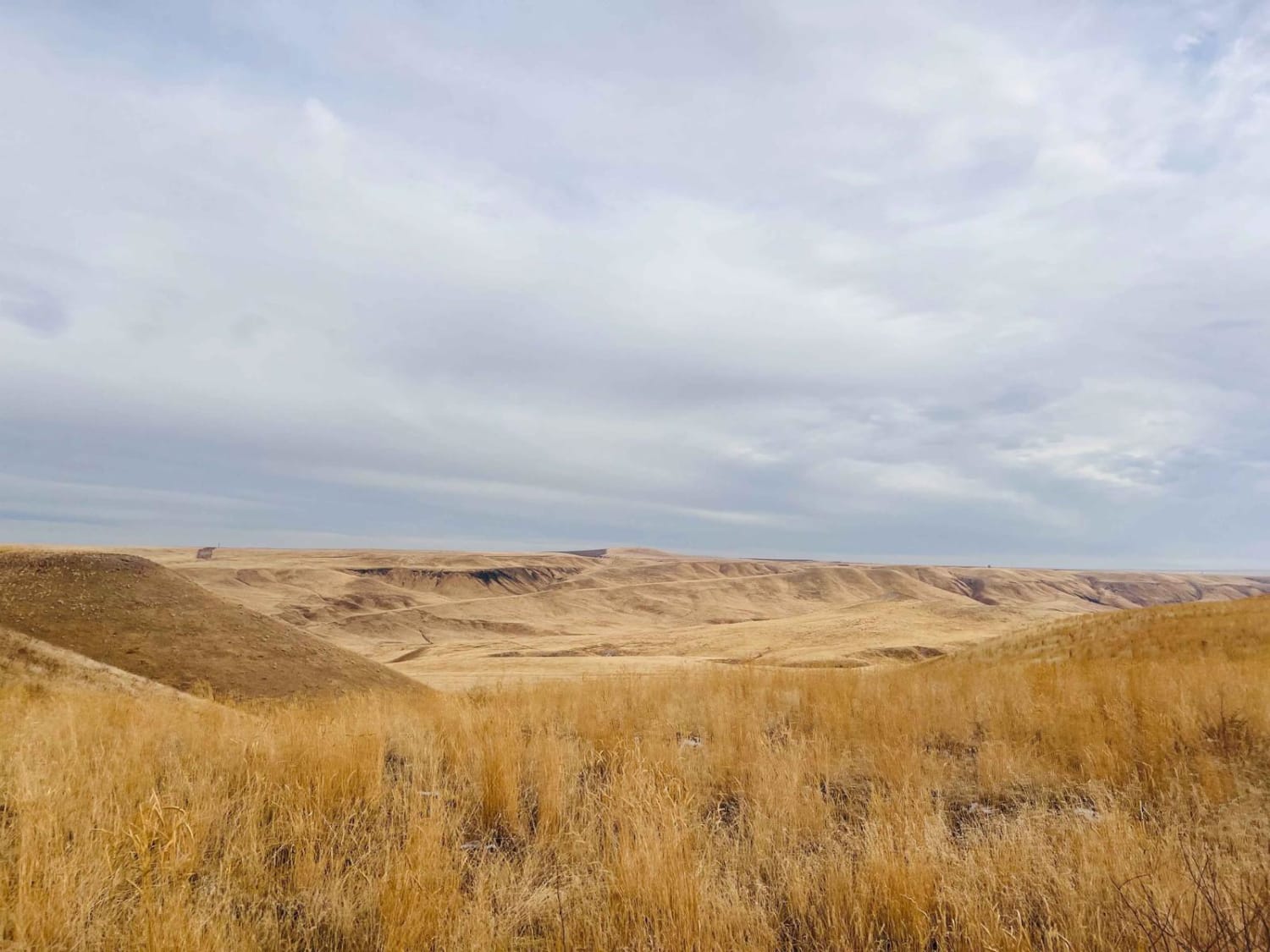
Trail Overview
This 9-mile trail, winding along the ridge of the Bannock Mountain Range within the Caribou National Forest, offers an enjoyable drive. Starting near Malad and finishing near Weston (or vice versa), the route features mostly easy-to-navigate dirt roads. Although occasional minor ruts may appear, a stock 4x4 vehicle can handle them with ease. Intermittent cell service is available along the way, allowing for occasional connectivity. The trail provides stunning views from the ridge, making it a worthwhile journey for those seeking both scenic beauty and a manageable off-road experience.
Photos of Sky Line
Difficulty
This is a fairly well-maintained dirt road, with some occasional ruts no deeper than 12".
Status Reports
Sky Line can be accessed by the following ride types:
- High-Clearance 4x4
- SUV
- SxS (60")
- ATV (50")
- Dirt Bike
Sky Line Map
Popular Trails

Coon Creek Trail (FDR 3300)

Trail Canyon East #5250
Idaho Centennial to Clover Three
Boss Canyon
The onX Offroad Difference
onX Offroad combines trail photos, descriptions, difficulty ratings, width restrictions, seasonality, and more in a user-friendly interface. Available on all devices, with offline access and full compatibility with CarPlay and Android Auto. Discover what you’re missing today!