Slow Poke
Total Miles
5.6
Technical Rating
Best Time
Fall, Summer, Spring
Trail Type
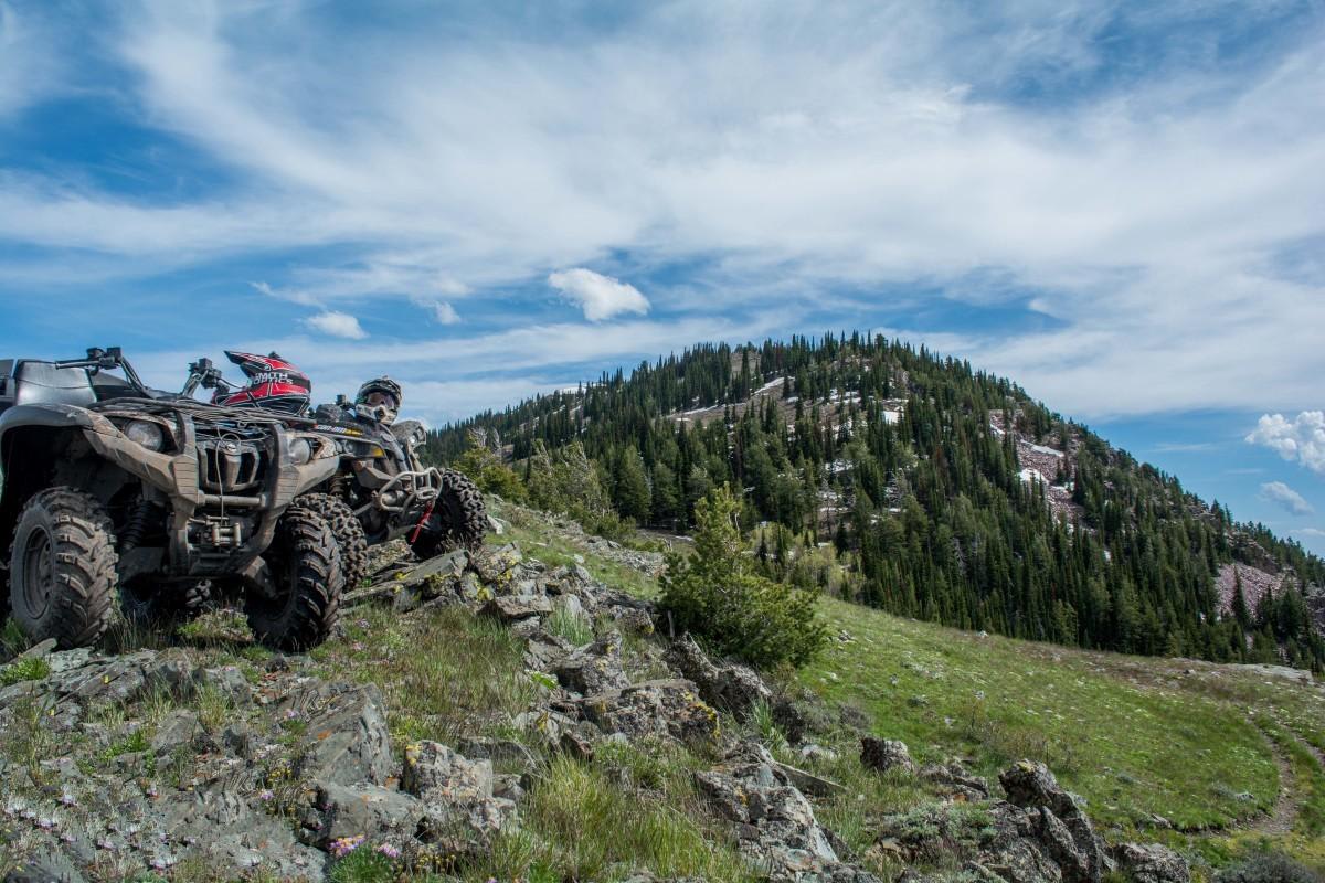
High-Clearance 4x4 Trail
Accessible By
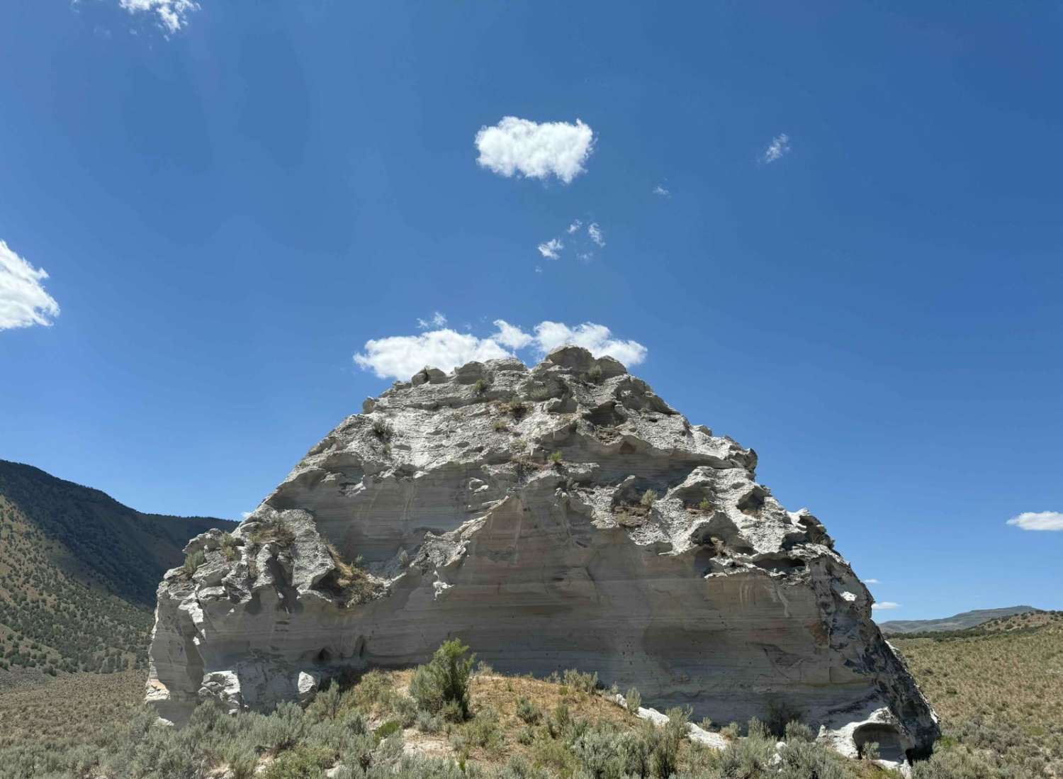
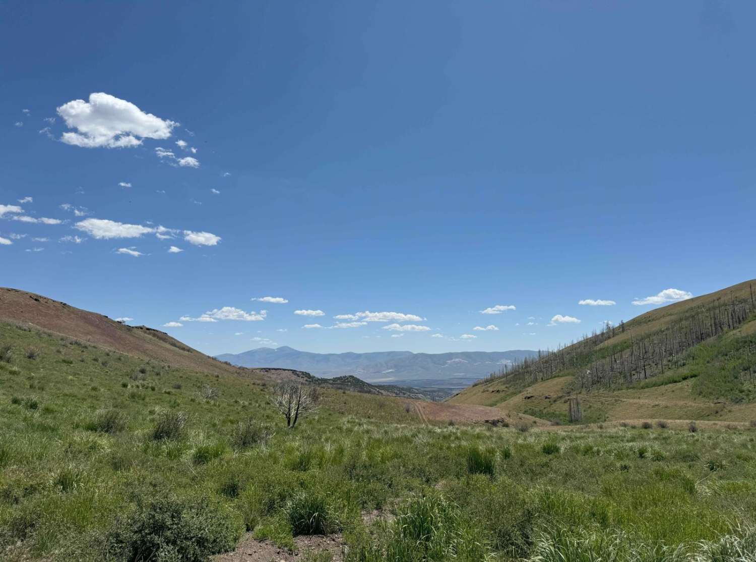
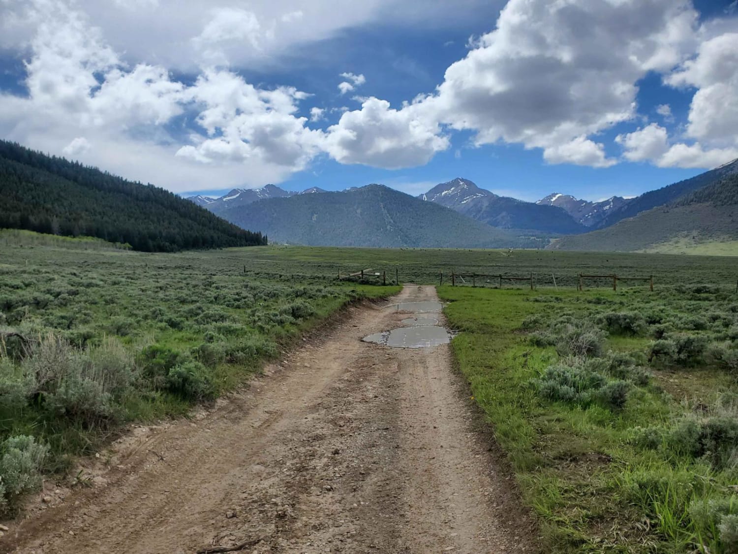
Trail Overview
Seemingly leave Idaho and transport yourself into the terrain you would find in the Western Desert. Grey rock, grey sand, Juniper trees, and even cacti welcome you on this fun short adventure. Pick your adventure if you'd rather take the more difficult direction from south to north, or the easier, quicker direction from the north, you can not go wrong. If you decide to drive south to north, expect loose rock and slow climbing up the gulch.
Photos of Slow Poke
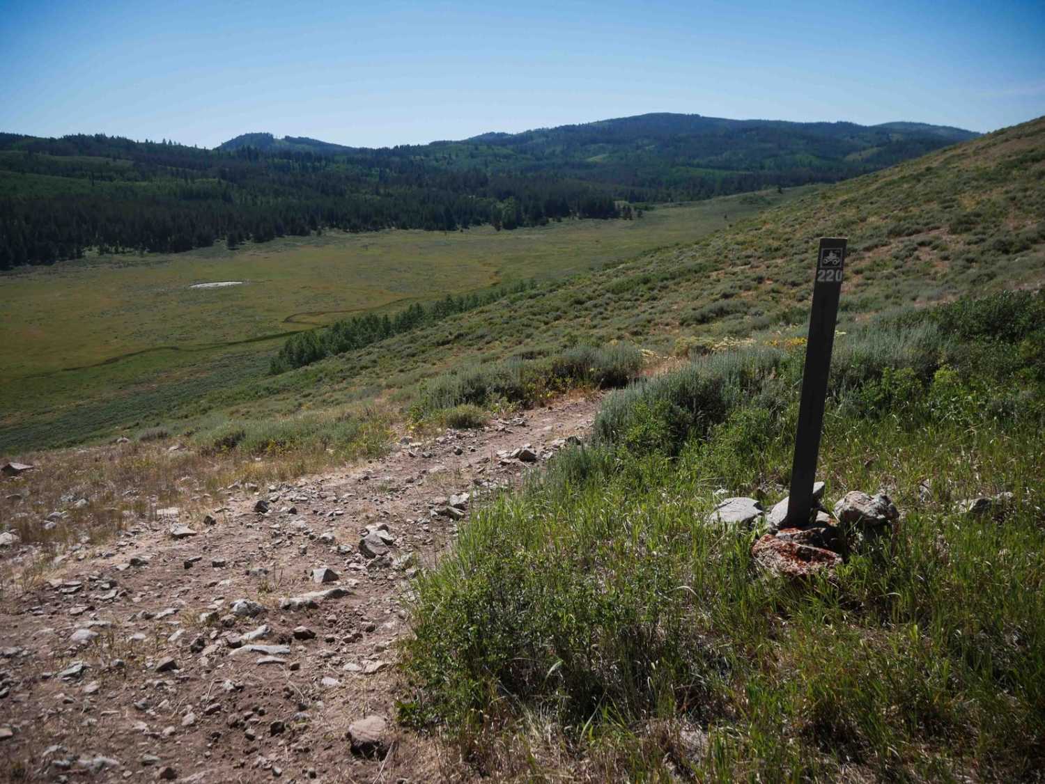
Difficulty
Loose rock, steep climbs/descents, blind corners, and narrow roads. Spring runoff may cause moderate to severe rutting. Narrow road due to overgrowth, fallen trees may be encountered, brief steep climbs, and slight off-camber sections. NOT recommended for full-sized 4WD vehicles.
Status Reports
Slow Poke can be accessed by the following ride types:
- High-Clearance 4x4
- SxS (60")
- ATV (50")
- Dirt Bike
Slow Poke Map
Popular Trails
Cow Lane Bypass
Boundary Trail
Horse Heaven Pass - NF 117/118
The Ponds #5220
The onX Offroad Difference
onX Offroad combines trail photos, descriptions, difficulty ratings, width restrictions, seasonality, and more in a user-friendly interface. Available on all devices, with offline access and full compatibility with CarPlay and Android Auto. Discover what you’re missing today!