Sly Gulch
Total Miles
2.3
Technical Rating
Best Time
Fall, Summer, Spring, Winter
Trail Type
Single Track
Accessible By
Trail Overview
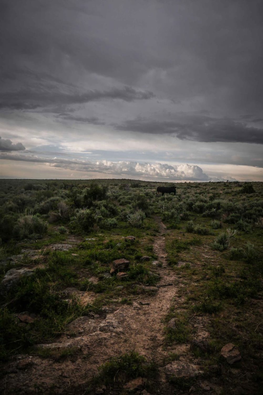
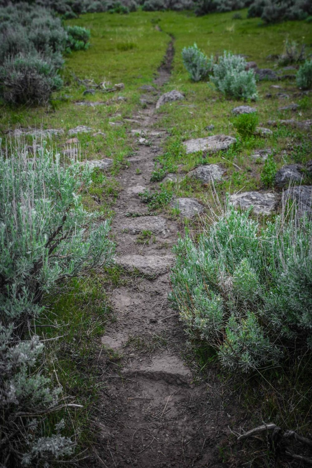
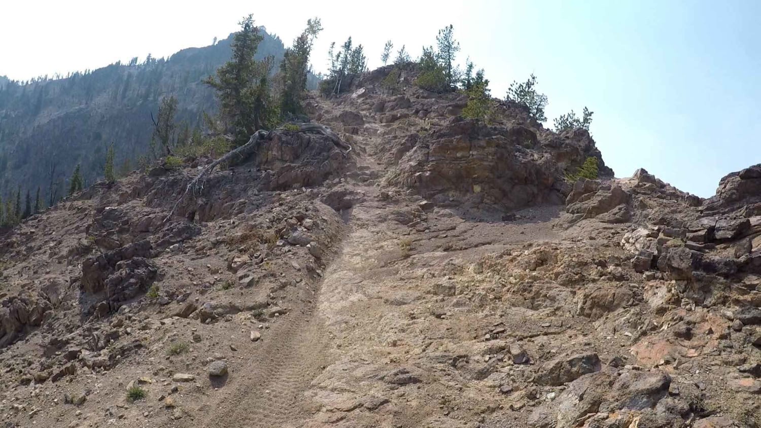
This single track is a very narrow desert trail through sagebrush valleys and rolling hills. It is easy in the beginning as it goes through flat terrain with minimal rock. Then it parallels a ravine while steadily losing elevation. The trail is very narrow here, and with a slope off the side of it, so there is mild exposure here, but is only a couple of feet down to the ravine. Much of the trail doesn't have rocks, but there are sections with more embedded rocks and a couple of boulders to get over, but no major obstacles. Overall it's a fun, fast and flowy trail that is easy and good for beginner riders. The hardest part of the trail is how narrow it is above the ravine. You'll see some water in the ravine and lots of cows grazing in this area. There are a few cow trails here that look like intersections, so be sure to follow the main trail. The south end of the trail starts off Cherry Spring Road at the same entrance to Upper Dry Gulch. The north end of the trail meets back up with Upper Dry Gulch. All of the intersections are well-marked with trail signs.
Photos of Sly Gulch
Difficulty
This is an easy desert single track with a bit of rock and is narrow.
Status Reports
Sly Gulch can be accessed by the following ride types:
- Dirt Bike
Sly Gulch Map
Popular Trails

4th July - Copper Creek - 3097
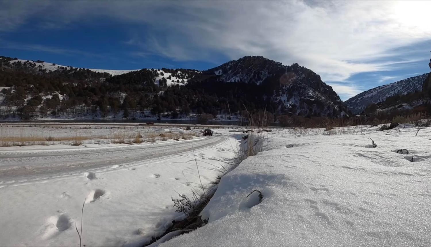
Oneida Narrows Reservoir
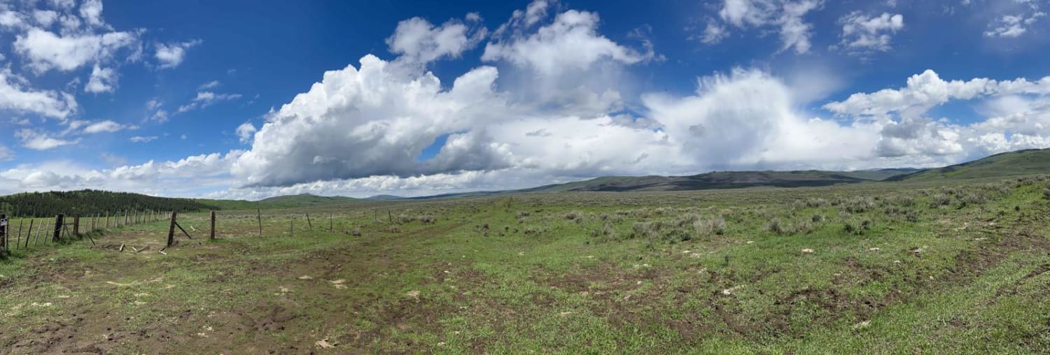
Gray's Lake Outlet
Peach-Cinnabar
The onX Offroad Difference
onX Offroad combines trail photos, descriptions, difficulty ratings, width restrictions, seasonality, and more in a user-friendly interface. Available on all devices, with offline access and full compatibility with CarPlay and Android Auto. Discover what you’re missing today!
