South Fork Worthing
Total Miles
4.8
Technical Rating
Best Time
Spring, Summer, Fall
Trail Type
Full-Width Road
Accessible By
Trail Overview
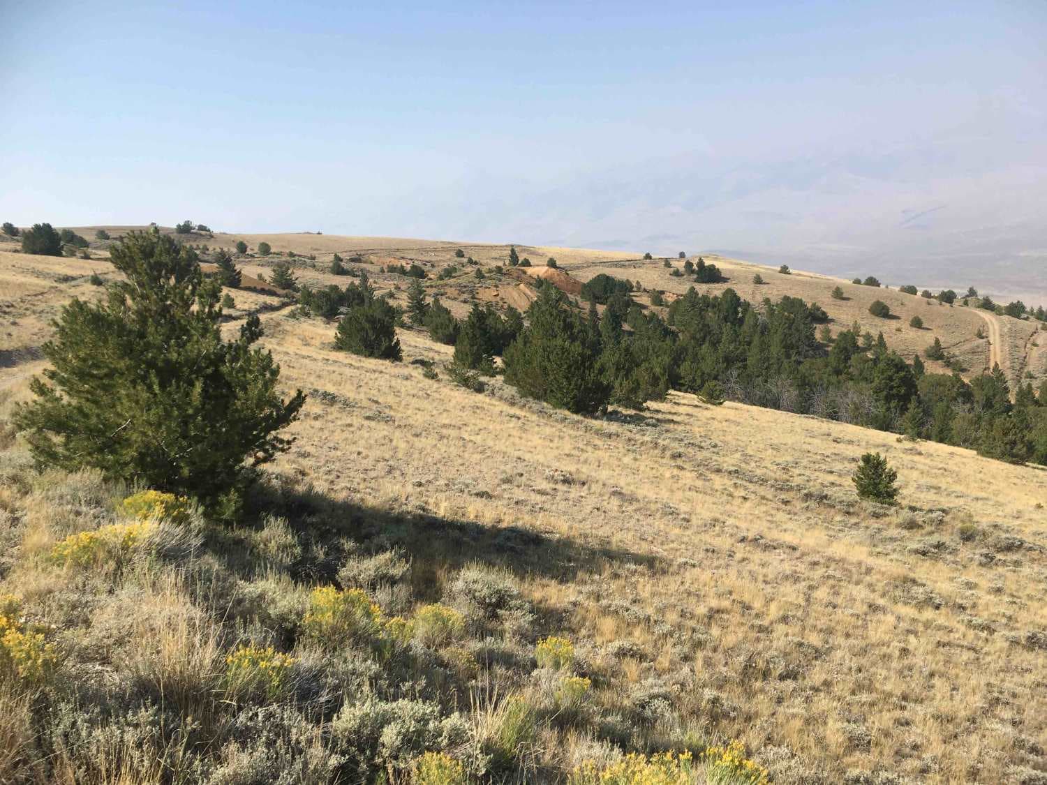
This is a segment of BLM Rd 538 from its intersection with BLM 537 to the BLM eighteen-mile road. It traverses rolling grassy hills that offer panoramic views of the Lemhi Valley. This road tops out at an elevation of 8,638 feet. It is not recommended for anyone afraid of heights.
Photos of South Fork Worthing
Difficulty
This road provides little technical challenge. But it does cut along some very high and steep hillsides that might be challenging for anyone who is afraid of heights.
Status Reports
South Fork Worthing can be accessed by the following ride types:
- High-Clearance 4x4
- SUV
- SxS (60")
- ATV (50")
- Dirt Bike
South Fork Worthing Map
Popular Trails

Sturgill Peak - Fire Lookout Tower

Upper Sugarloaf
The onX Offroad Difference
onX Offroad combines trail photos, descriptions, difficulty ratings, width restrictions, seasonality, and more in a user-friendly interface. Available on all devices, with offline access and full compatibility with CarPlay and Android Auto. Discover what you’re missing today!


