Twin Peaks Lookout Tower
Total Miles
3.2
Elevation
3,146.59 ft
Duration
0.5 Hours
Technical Rating
Best Time
Summer, Fall
Trail Overview
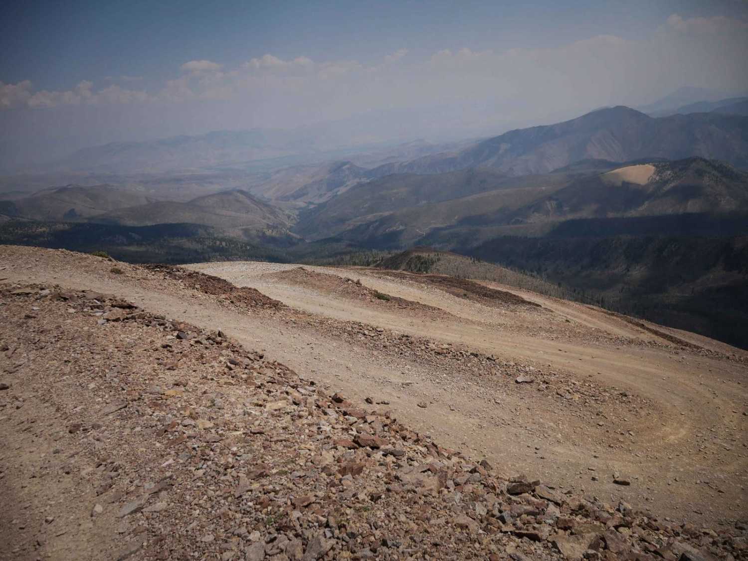
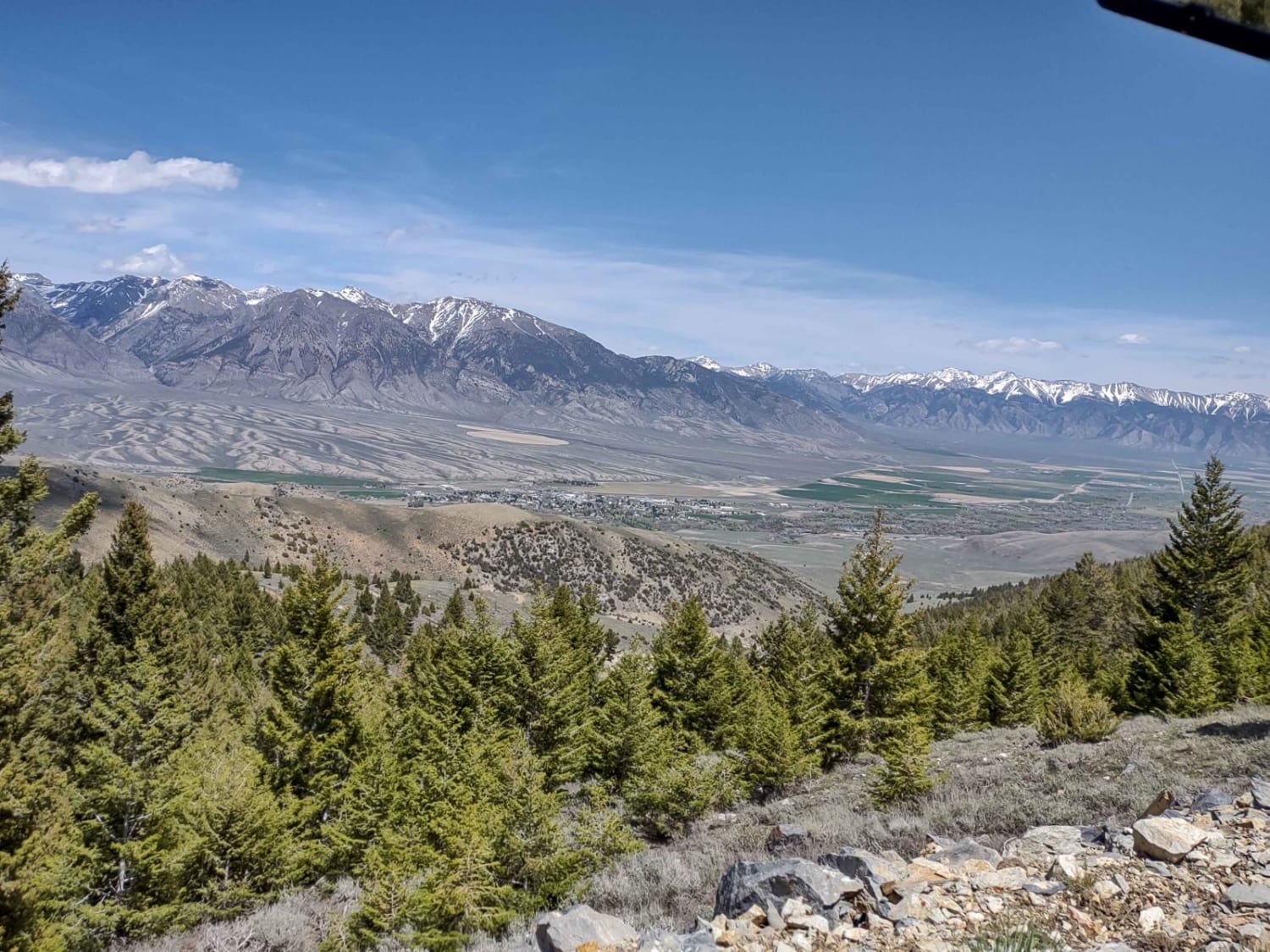
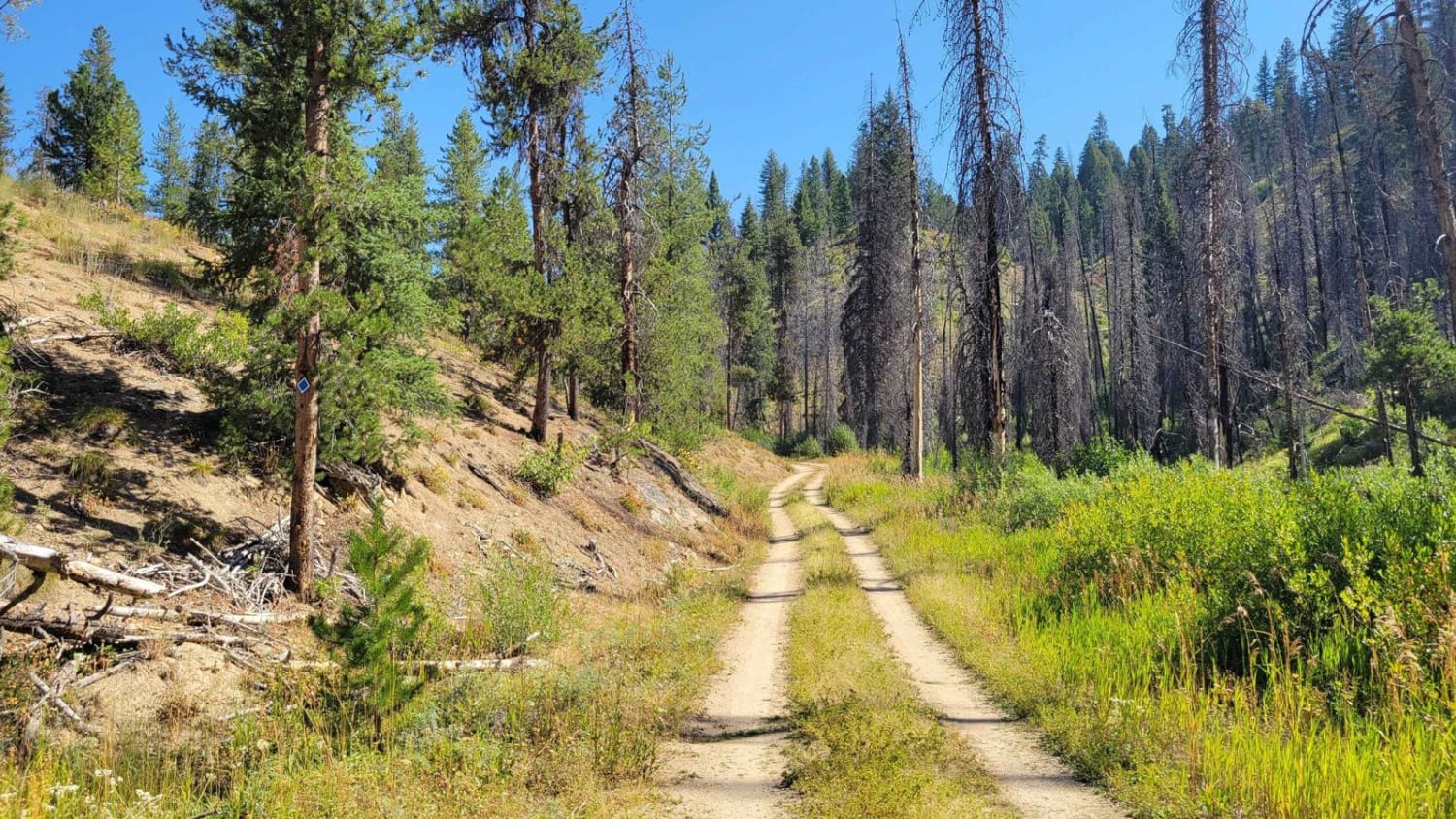
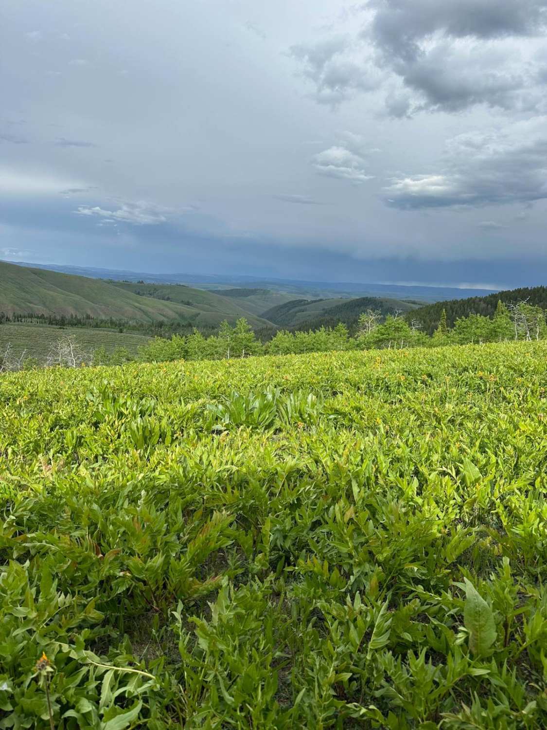
The route up to the Twin Peaks Lookout Tower is a steep 2.3-mile climb, including 12 switchbacks, gaining 1,400 feet. It starts from Sleeping Deer Road and traverses the mountainside on a really shelfy road. It's one lane, with loose scree on the surface of the road, and it feels like you're climbing into the sky. The turns are moderately tight and steep, so they do require some caution and off-road experience. The switchbacks don't have any specific obstacles or rock ledges, but they are extremely shelfy, so the exposure adds to the difficulty. It could be a harrowing drive for anyone afraid of heights or inexperienced. It's an incredible experience to make it to the lookout tower. It looks out at the Twin Peaks which divide the Salmon River Basin and the Middle Fork of the Salmon. The lookout was established in 1913 but the current cabin was built in 1964, being the highest lookout tower in the Pacific Northwest at 10,394'. This is one of Idaho's 60 remaining manned fire lookout towers.
Photos of Twin Peaks Lookout Tower

Difficulty
Although this trail is not particularly technical, the extreme exposure adds to the difficulty rating of 4/10. The road is full of tight switchbacks high up on the edge of a mountain, with loose scree. Navigating this route requires caution and high clearance.
Status Reports
Popular Trails
Blaze Canyon to Windy Devil
Skyline Trail
The onX Offroad Difference
onX Offroad combines trail photos, descriptions, difficulty ratings, width restrictions, seasonality, and more in a user-friendly interface. Available on all devices, with offline access and full compatibility with CarPlay and Android Auto. Discover what you’re missing today!