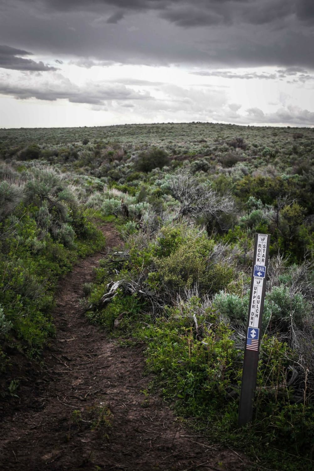
Upper Dry Gulch
Total Miles
4.0
Technical Rating
Best Time
Fall, Summer, Spring, Winter
Trail Type
Single Track
Accessible By
Trail Overview
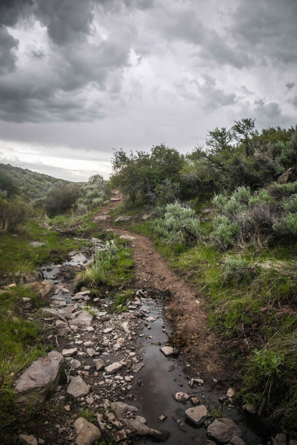
Upper Dry Gulch is very similar to Sly Gulch, being a narrow desert single track through sage brush terrain, and steadily losing elevation as it drops into a valley and parallels a ravine. It continues along the bottom of the valley, the whole time in the gulch, elevated above a ravine with a small stream. You have to cross the stream a bunch of times, but it's more like crossing a mud puddle each time as the stream is very shallow. There aren't many rocks in the trail, so it's fun, fast, and flowy. The narrowness of the trail above the ravine adds a bit more of a challenge. Sometimes the trail is sloped off the side down towards the ravine. There are lots of cows grazing in this area, and great scenery of the sagebrush rolling hills, with lots of jagged rocks on the hillsides surrounding you. This is one of the easier trails in the area because it has fewer rocks. It's consistently a steady decline all the way from Cherry Spring Road to the intersection with Lower Dry Gulch, but also some small ups and downs as you ride over the rolling hills.
Photos of Upper Dry Gulch
Difficulty
This is an easy desert single track with a bit of rock and is narrow.
Popular Trails
Wild Horse Recreation Area to Bruneau Canyon Overlook
Mahoney Greenhorn
Little Beaver to Twister Trail

Maple to Sugar Creek
The onX Offroad Difference
onX Offroad combines trail photos, descriptions, difficulty ratings, width restrictions, seasonality, and more in a user-friendly interface. Available on all devices, with offline access and full compatibility with CarPlay and Android Auto. Discover what you’re missing today!
