Yearian Creek Road
Total Miles
7.8
Technical Rating
Best Time
Spring, Summer, Fall
Trail Type
Full-Width Road
Accessible By
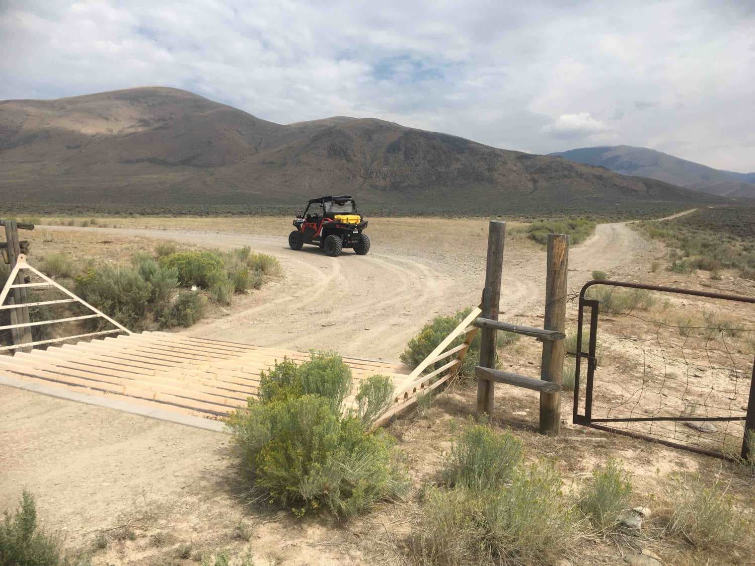
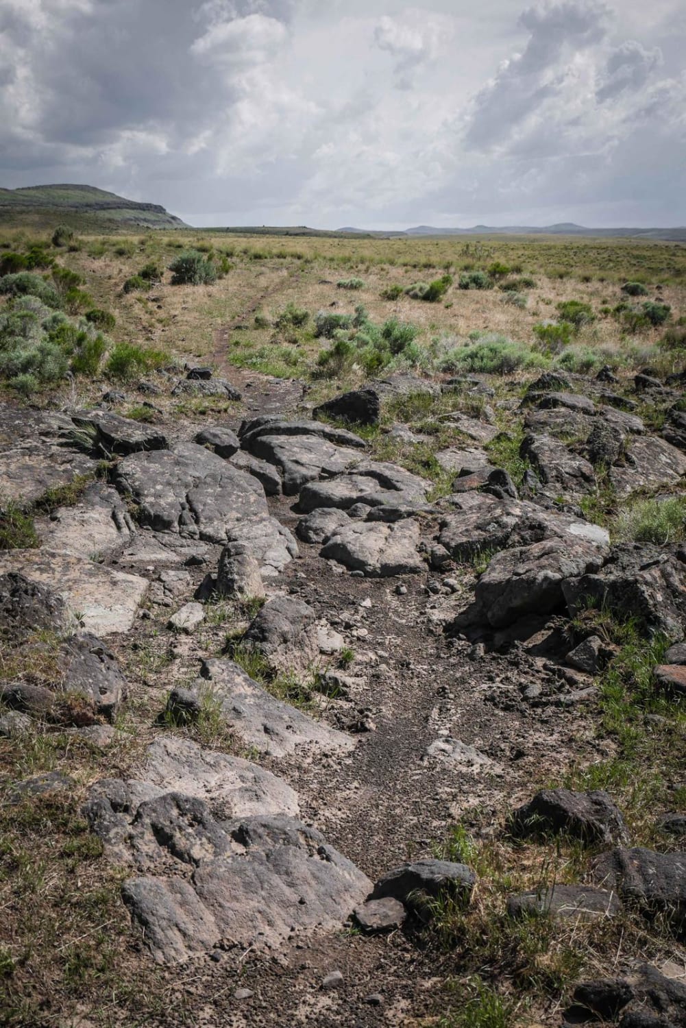
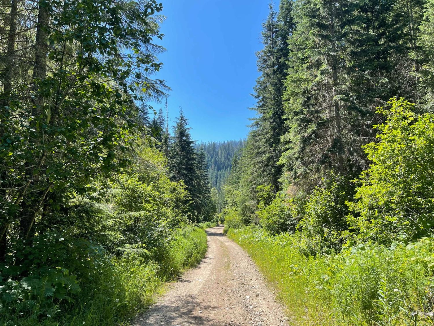
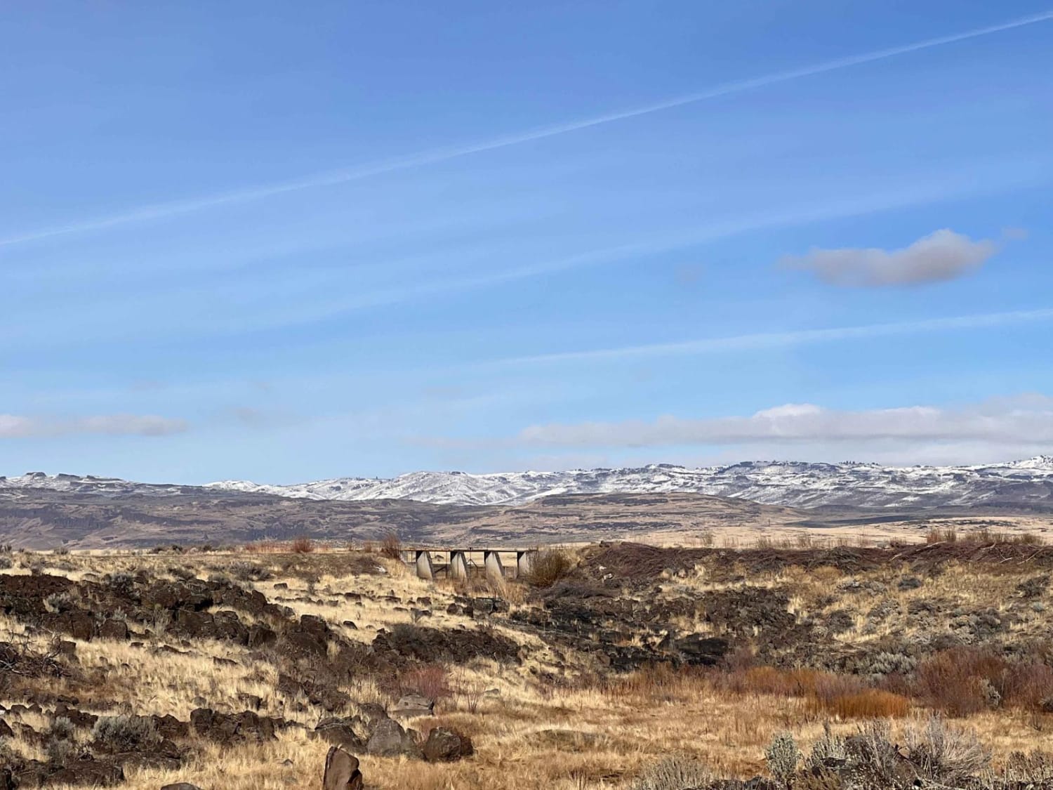
Trail Overview
This road follows a pass through the foothills of the Beaverhead Mountains. It's a pleasant little one-lane dirt road that wanders through sagebrush flats, crosses the creek several times and occasionally pauses for a break in the willows and aspen along the creek. There are many side roads and trails to further explore from this road.
Photos of Yearian Creek Road

Difficulty
This is a fairly typical BLM dirt one-lane road.
Status Reports

Popular Trails

Flume Ridge ATV
Collaboration
Cascade Picnic
The onX Offroad Difference
onX Offroad combines trail photos, descriptions, difficulty ratings, width restrictions, seasonality, and more in a user-friendly interface. Available on all devices, with offline access and full compatibility with CarPlay and Android Auto. Discover what you’re missing today!