Big Muddy Levee Road
Total Miles
10.6
Technical Rating
Best Time
Spring, Summer, Fall, Winter
Trail Type
Full-Width Road
Accessible By
Trail Overview
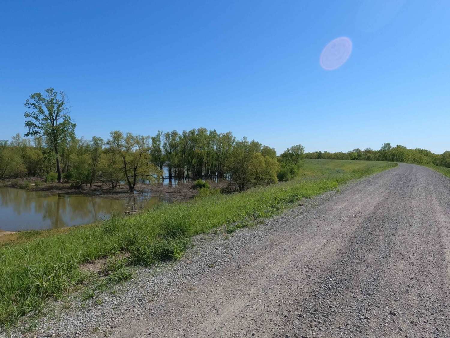
The Big Muddy River Levee Road is the southern publicly accessible 10-mile-long gravel road following the ridge top of the Levee, along the lower southern section of the Big Muddy River in Jackson County Illinois. Note that the Northern 3.4 mile section of this road has transferred from the public-owned community road of Sand Ridge to now the private land owners road, this has shortened the road from 14 miles down to 10.6 miles long, and north of Otter Slough Road to Sand Ridge is a private road and land. The route traverses through the landscape of the northwest section of the Mississippi Bluffs sector of Shawnee National Forest. It features a quick-to-travel, raised-up view of the natural area on either side of the levee, and has a high likelihood of seeing wildlife (Snakes, Coyotes, Deer, Gophers, Turkey, and Fish) in the habitat of the area, and features views of the rock bluffs to the east in the distance. There are many turn-offs to side roads leading to fishing holes, campsites, and forestry routes.
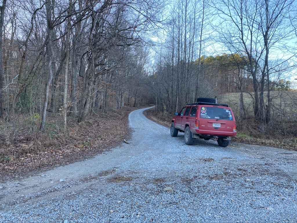
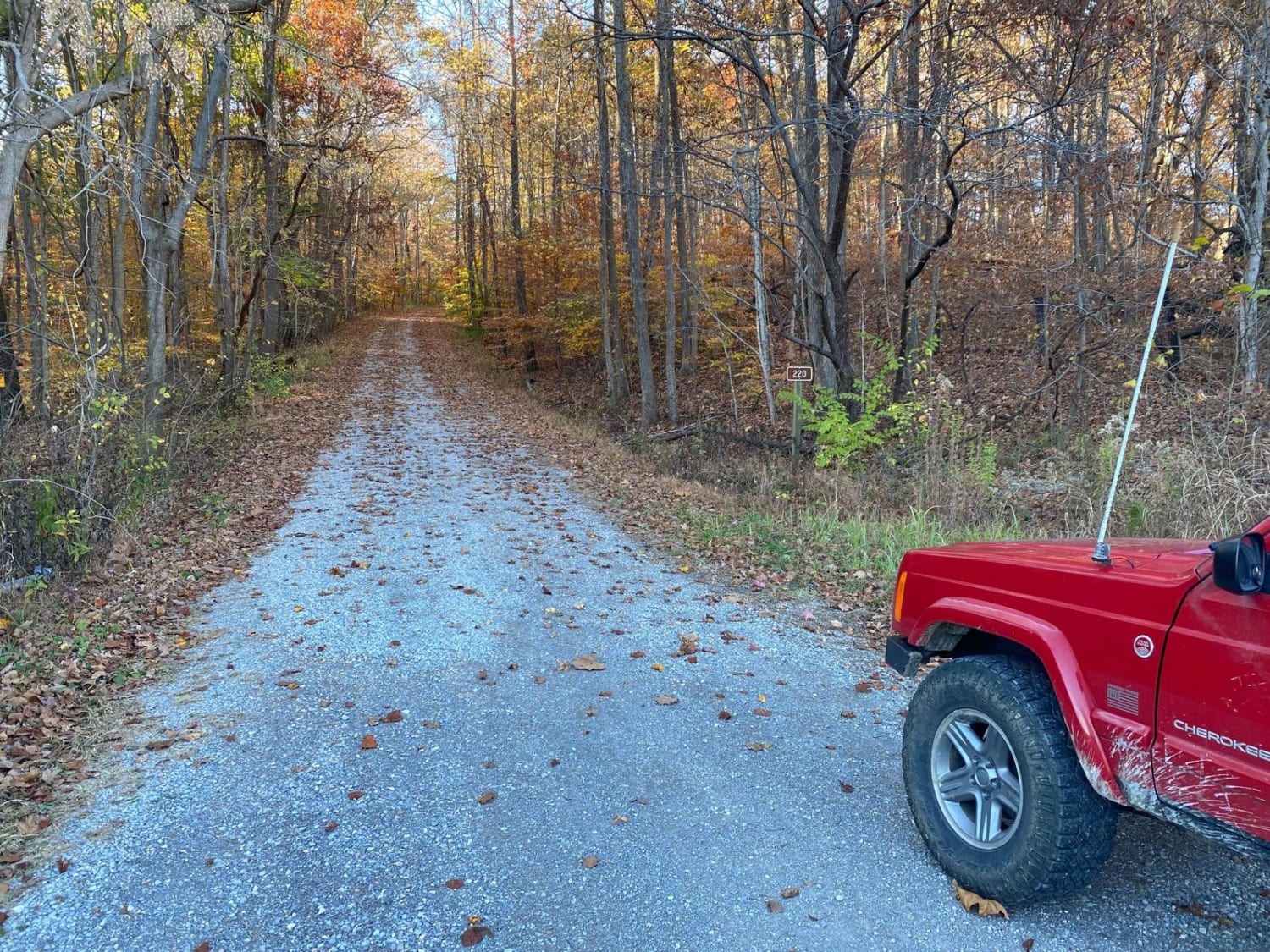
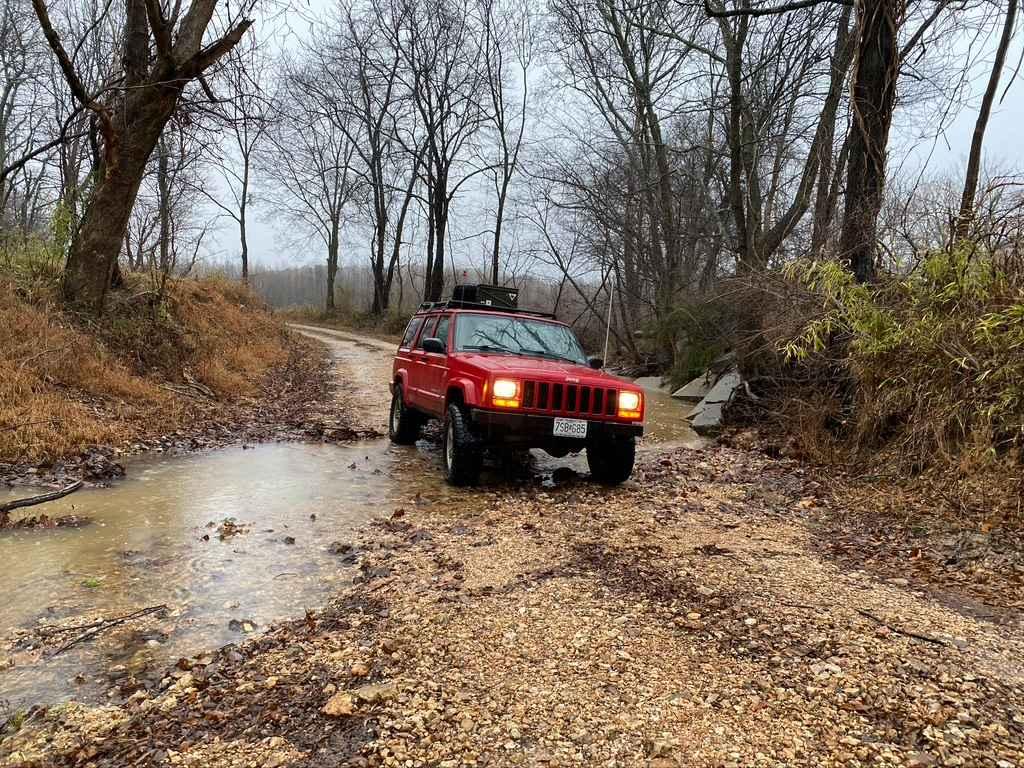
Photos of Big Muddy Levee Road
Difficulty
The road is well-maintained gravel and is generally flat, which is great for a backroad cruise to get away from the paved roads. With minimal complications, you will likely experience deep pot holes, but could also feature washboarding, and mounding of the gravel in between maintenance cycles.
History
In 2024 some change in land ownership of this road happened, the Northern section of this road was transferred from public to private ownership, this was a several-year process between the community of Sand Ridge and the private land owners. Ultimately this has shortened the public road from 14 miles down to 10.6 miles long. At the time of writing this, October 2024, the Shawnee National Forest MVUM and several other maps, such as the Jackson County Plat, still suggest it is still public, it was only with boots on the ground, phone calls being made, and local explorers bringing this to light via the no trespass and private land signs on the northern 3.4 miles of road, to suggest that maps would be updated.
Status Reports
Big Muddy Levee Road can be accessed by the following ride types:
- High-Clearance 4x4
- SUV
Big Muddy Levee Road Map
Popular Trails

Old Boundary Trail

Silica Hill Road SFR 645

McCraven SFR 220

South Silica Hill Road
The onX Offroad Difference
onX Offroad combines trail photos, descriptions, difficulty ratings, width restrictions, seasonality, and more in a user-friendly interface. Available on all devices, with offline access and full compatibility with CarPlay and Android Auto. Discover what you’re missing today!

