North Hitching Post FSR 1454
Total Miles
1.2
Technical Rating
Best Time
Summer, Fall
Trail Type
High-Clearance 4x4 Trail
Accessible By
Trail Overview
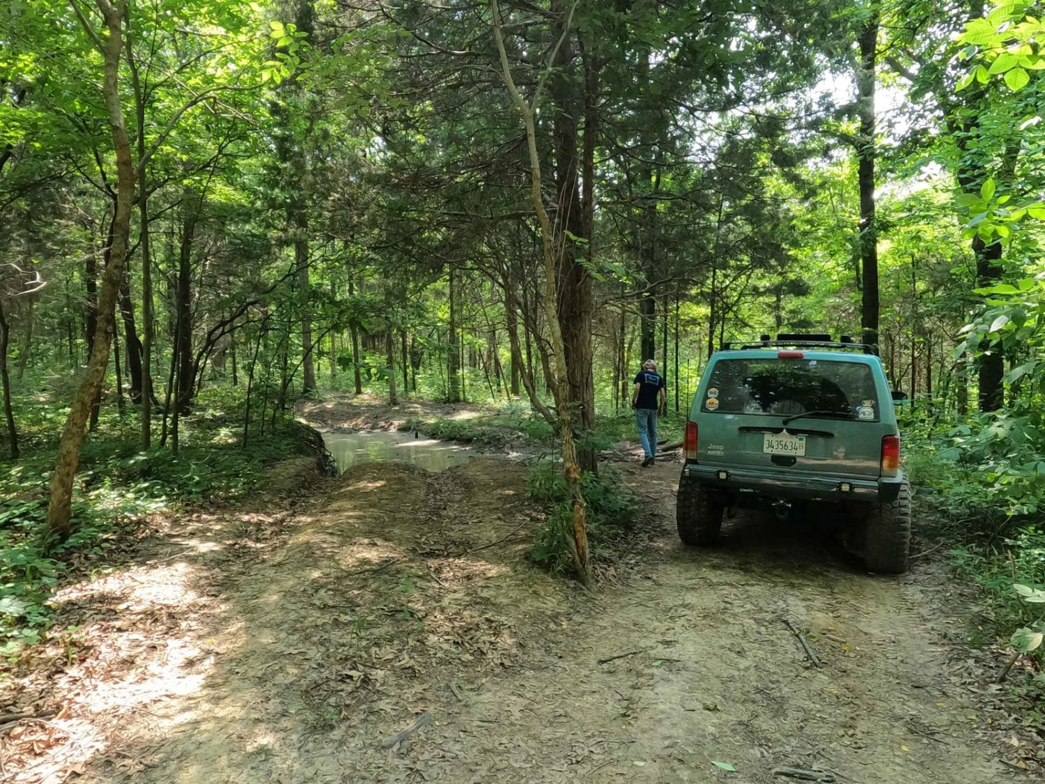
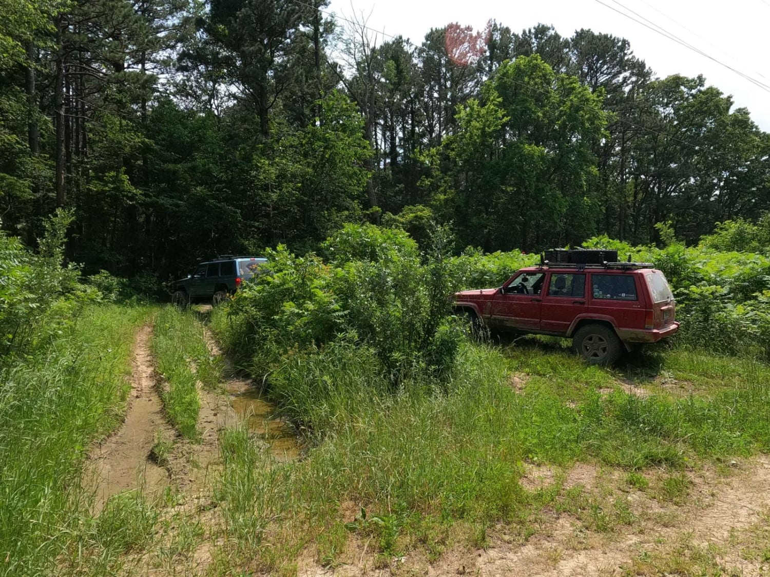
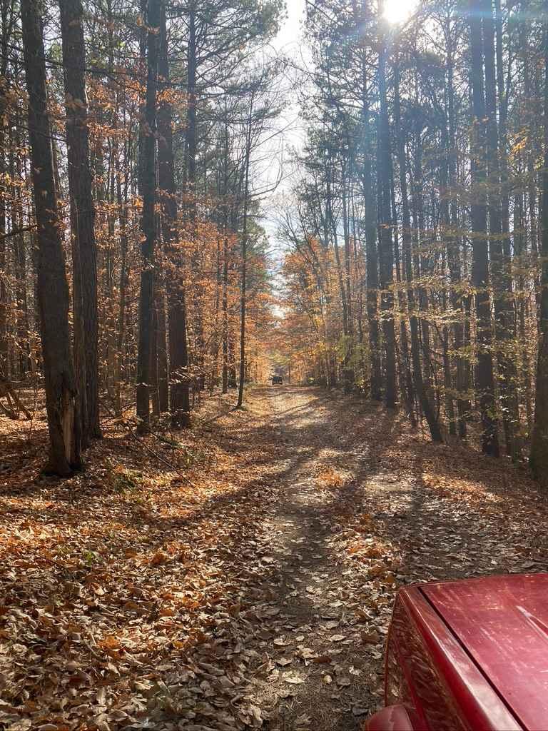
The North Hitching Post FSR 1454 (aka Dennison Hollow research area road) is a rough natural forestry road through the Eagle Mountain area of the Hidden Springs sector of Shawnee National Forest. The road ride on the ridge top of Eagle Mountain, and is generally more level across it's track, but features more of the same terrain as that of roads that come before it. To access the North Hitching Post, it is required to pass through the Eagle Mountain Bluff Trail FSR 1454 which meets this trail at the power line cut out at 37.65806, -88.43394 or where it meets up with the Dennison FSR 106 or South Hitching Post FSR 1454 at the Horton Hill triangle at 37.64286, -88.43848. The road features a mud pit lovers haven, with the primary surface being dirt roads connecting from mud intersection after mud intersection. Due to the large amounts of shade and wet conditions of the area, even in dry seasons you can still expect plenty of mud holes throughout. Towards the southern end of the trail there is a section of rock ledges, one side features a 2 foot tall ledge, the bypass side features several short 1 foot tall ledges, there is sections of tight trees and off camber spots, large wheel ruts, small water erosion wash outs, all these being throughout the whole trail. There is also very brief sections of course rock and or gravel. Overall a thrilling road full of challenge and anticipation at every turn.
Photos of North Hitching Post FSR 1454
Difficulty
Very similar to the trails before and around it, a lot of the difficulty of this trail is all gauged by the mud holes, but if using the best lines to avoid the harder stuff you could squeak through at a 4/10 level trail, but In detail the 5/10 as a base rating is based on the few rock ledges that exist on the southern half of this trail, one side has a series of 1 foot tall ledges, while the other side has a 2 foot tall near straight up ledge, this is where I give it the 5/10 base rating from being a blend of what you must go through (18" mud holes minimum) to complete the trail end to end and some optional stuff (the 1-2 foot ledges) combined. Note, this trail has optional mud holes that could range all the way up easily to 7/10 territory, being 3-4+ foot deep, with dirt walls on either side up to the roof line of an average 4WD. Just note these holes are filled with water on top of peanut butter consistency mud that seemingly has no bottom to them. Momentum is your only hope for most of these holes, and my advice is just to hit what you are willing to probe well with stick and what you know you are comfortable attempting. As for the other parts of the trail, you will experience off camber sections as you navigate tight trees, and may encounter other unearthed rock shelves up to a foot tall. The difficulty will only increase the more wet conditions are in the area.
Popular Trails

Open Ponds Trail
Silica Hill Road SFR 645
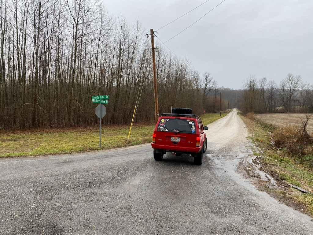
Whitney Hollow Road
The onX Offroad Difference
onX Offroad combines trail photos, descriptions, difficulty ratings, width restrictions, seasonality, and more in a user-friendly interface. Available on all devices, with offline access and full compatibility with CarPlay and Android Auto. Discover what you’re missing today!
