Rattlesnake Ferry - FS 345
Total Miles
0.7
Technical Rating
Best Time
Summer, Fall
Trail Type
Full-Width Road
Accessible By
Trail Overview
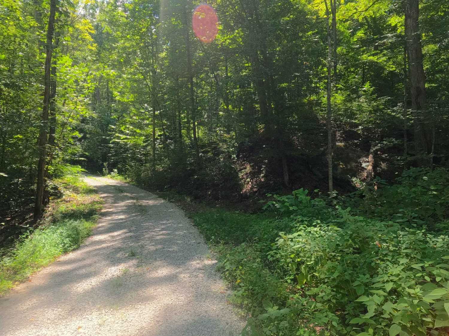
Rattlesnake Ferry - FS 345 is maintained gravel transforming to a natural forest service road in Shawnee National Forest, north of the LaRue-Pine Hills/Otter Pond Research Natural Area, a part of the greater Mississippi Bluffs unit. The Rattlesnake Ferry features smoother gravel from the higher elevation directly off the pavement, passing over a feeder creek, down to the natural dirt-based terrain of the bottoms next to the Big Muddy River, ending where you can see the old wooden ferry piers and the old ramp on the opposite side of the river. This used to be one of the few crossings that were used to cross the Big Muddy River, cementing this road as a unique witness of a past age.
Photos of Rattlesnake Ferry - FS 345
Difficulty
Rattlesnake Ferry is a simple maintained gravel featuring a mild elevation change going from the ridgetops down to the bottoms along the Big Muddy River. The upper ridgeline is a well-maintained 1/10 gravel road featuring only the typical gravel road complications in potholes, washboards, and mounding, but once passed the Rawlins Bend FS 339 entry, the bottoms portion of the trail features soft unpacked dirt soil, surface mud, and foot-deep rutting being soft bottomed, giving it a 3/10 rating, but in extreme scenarios could increase in difficulty and have swamp marsh-like potentials, or be underwater due to river flooding. In these times it is suggested to leave the trail alone until dry, as to not cause the trail or ecosystem damage.
History
The Rattlesnake Ferry's history is mostly word of mouth surviving to the current day, little documentation can be found, one being the old photo with an early-era automobile coming across the river, pointing to the ferry witnessing more horses than cars. According to a local historian at the Jackson County Historical Society, the ferry's use dates back to the existence of the original Jackson County seat of Brownsville, IL, which was established in 1816. On January 10th, 1843 the County Courthouse caught fire, destroying most records the county held, after which the county seat decided to relocate to the east on a 20-acre farm donated by Doctor Logan to the county in Shieldsboro, IL, along the line renamed to become what is Murphysboro, IL. After the fire, most citizens moved, and in only a few years Brownsville was all but history. The historian noted the Ferry's popularity likely came from Brownsville, people of the east bank side of Big Muddy River wanted to cross to the west bank, to then head straight up north to where Brownsville was located, and it was there to ensure that service as far back as the early 1800's.
Popular Trails
Opossum Trot Road SFR 628
Tower Rock Road PCR 460
Hamburg SFR 266A
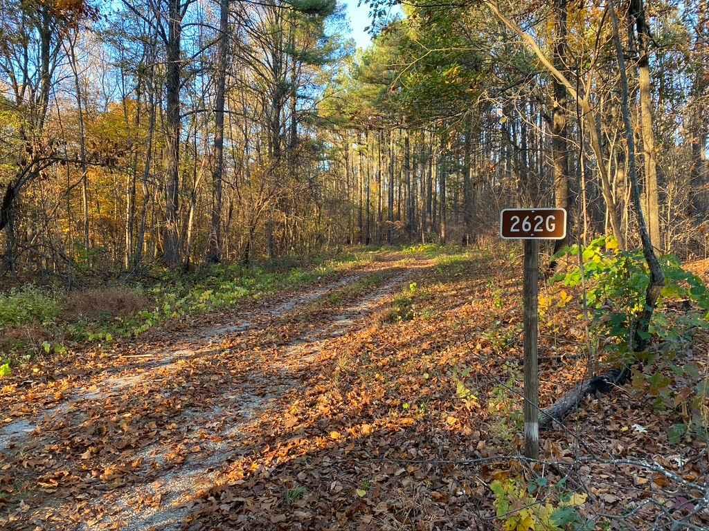
Slick Ridge SFR 262G
The onX Offroad Difference
onX Offroad combines trail photos, descriptions, difficulty ratings, width restrictions, seasonality, and more in a user-friendly interface. Available on all devices, with offline access and full compatibility with CarPlay and Android Auto. Discover what you’re missing today!

