Rawlins Bend - FS 339
Total Miles
2.5
Technical Rating
Best Time
Summer, Fall
Trail Type
High-Clearance 4x4 Trail
Accessible By
Trail Overview
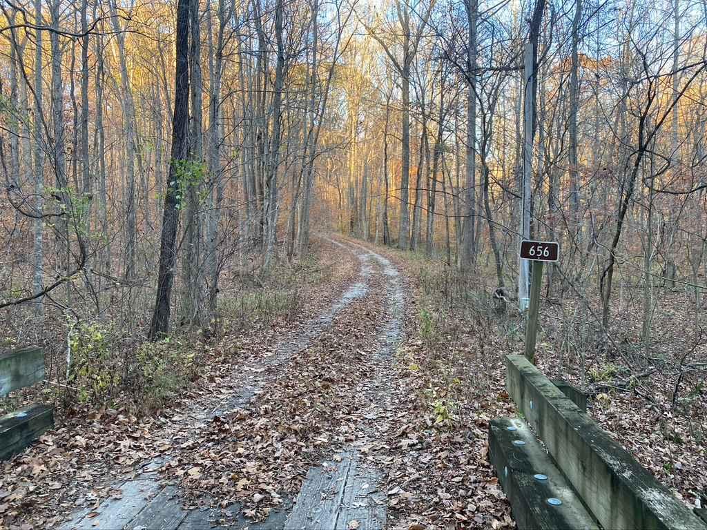
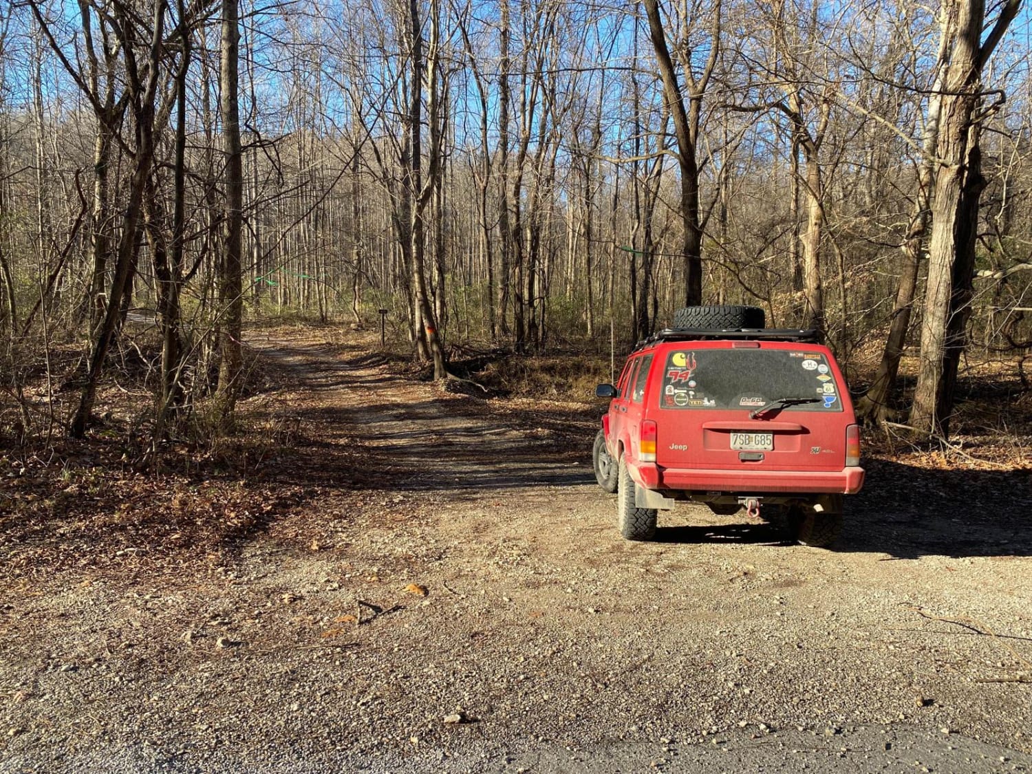
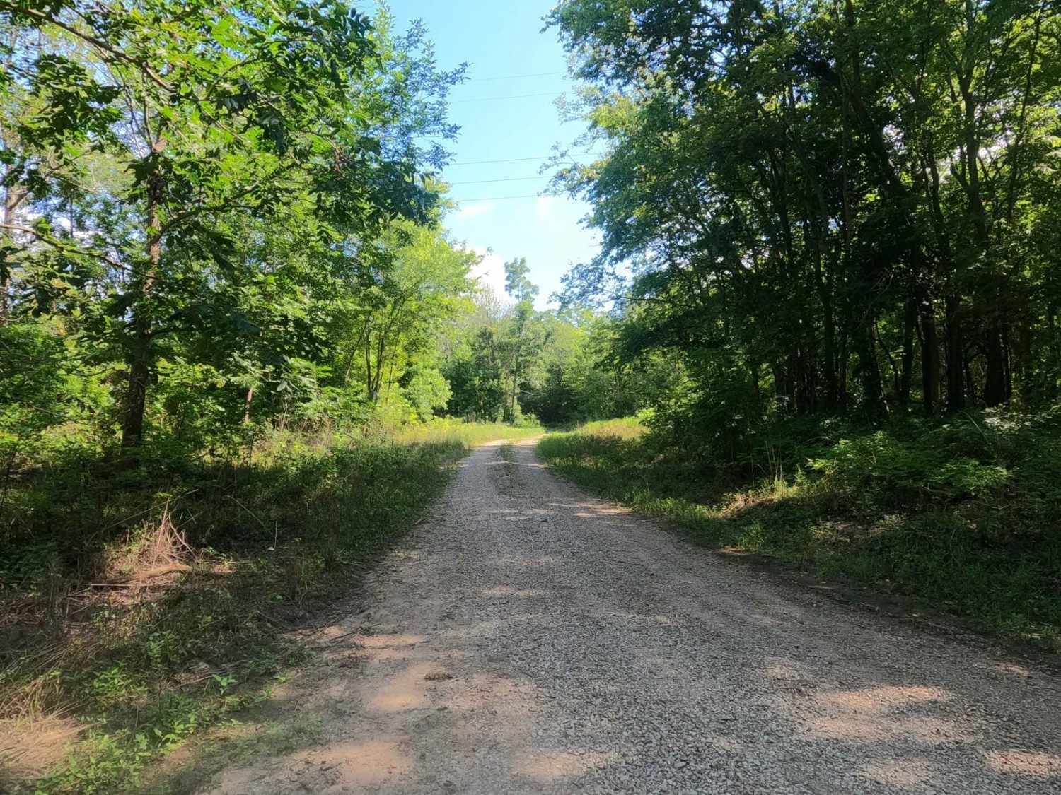
Rawlins Bend - FS 339, as locals refer to it as Rattlesnake Ferry, is a natural dirt and mud trail through Shawnee National Forest, north of the LaRue-Pine Hills/Otter Pond Research Natural Area, a part of the greater Mississippi Bluffs unit. Rawlins Bend has an annual seasonal closure of 12/9 through 5/9, at which the south gate at 37.62538, -89.42567 will be locked. The trail begins at Rattlesnake Ferry FS 345, and heads north paralleling along the Big Muddy River, passing the historic river bends, from south to north, Cripps, Dillon, Mill, Rawlins, and lastly Horseshoe Bend, ultimately getting its name from the section of trail and river that are closest to one another, the Rawlins Bend. Notable features of the trail, near Cripps Bend at 37.63262, -89.4181 the trail will come near some private property, hang right here immediately after the small creek crossing to stay on the trail, and when at the southern tip of Rawlins Bend the old Campbell Cabin can be found at 37.64779, -89.4138. Due to the natural influences of the rivers and abundance of shade from trees, the trail is often wet, muddy, and unmaintained, left to a natural state that is often on the borders of inaccessible, featuring swampy lowlands, erosion wash-outs, small water crossings, natural rock, and small boulders. The trail ultimately ends at Rawlins Bend with direct access to the Big Muddy River, just north of this spot is an old steel gate, with a grown tree blocking the gates use, showing how long it has been left open, the MVUM suggests that this is the ending point in the trail, turn around and head back. It is suggested to leave the trail alone to rest in seasons of wet conditions, if the forecast calls for heavy rain and at flooding stages of the Big Muddy River.
Photos of Rawlins Bend - FS 339
Difficulty
Rawlins Bend is given a base rating of 5/10 for its uneven path, mildly steep grades, depth of erosion, rutting, washes, and especially soft-bottomed water collection holes to full-on swampy marshes, with mud ranging in depth from surface level to 24"+ depth. There is also natural rock in the trail forming ramps or steps being 6"-18" tall, with medium 6" loose cobbles at the channels where water comes down the hillside to the bottoms of the Big Muddy River. In the swampy marshes be aware there are large cobbles and small boulders scattered randomly throughout and within the mud like landmines. Also, expect 12" deep water at the feeder creek crossing points. If in doubt, walk and probe it out.
Status Reports
Rawlins Bend - FS 339 can be accessed by the following ride types:
- High-Clearance 4x4
Rawlins Bend - FS 339 Map
Popular Trails

Honey School Road SFR 656/656C

Muddy Levee Road

Old Goat SFR 625 & 625A

Rattlesnake Ferry - FS 345
The onX Offroad Difference
onX Offroad combines trail photos, descriptions, difficulty ratings, width restrictions, seasonality, and more in a user-friendly interface. Available on all devices, with offline access and full compatibility with CarPlay and Android Auto. Discover what you’re missing today!

