Chads Noggin Nocker
Total Miles
0.1
Technical Rating
Best Time
Spring, Summer, Fall, Winter
Trail Type
Full-Width Road
Accessible By
Trail Overview
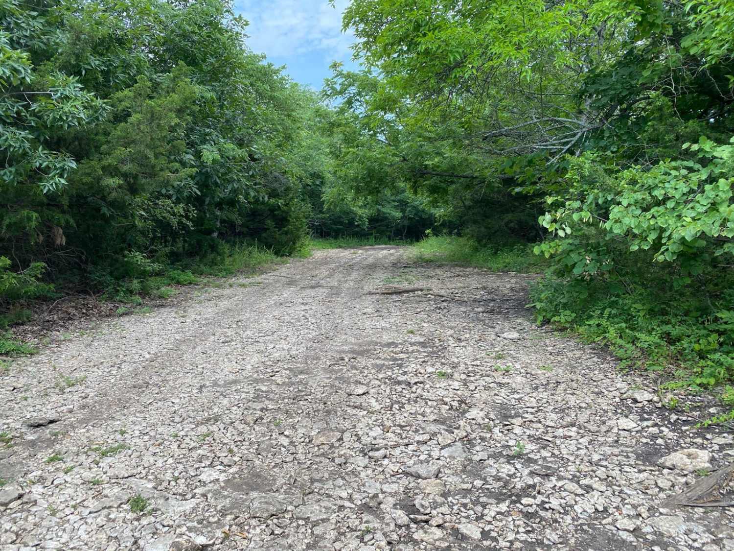
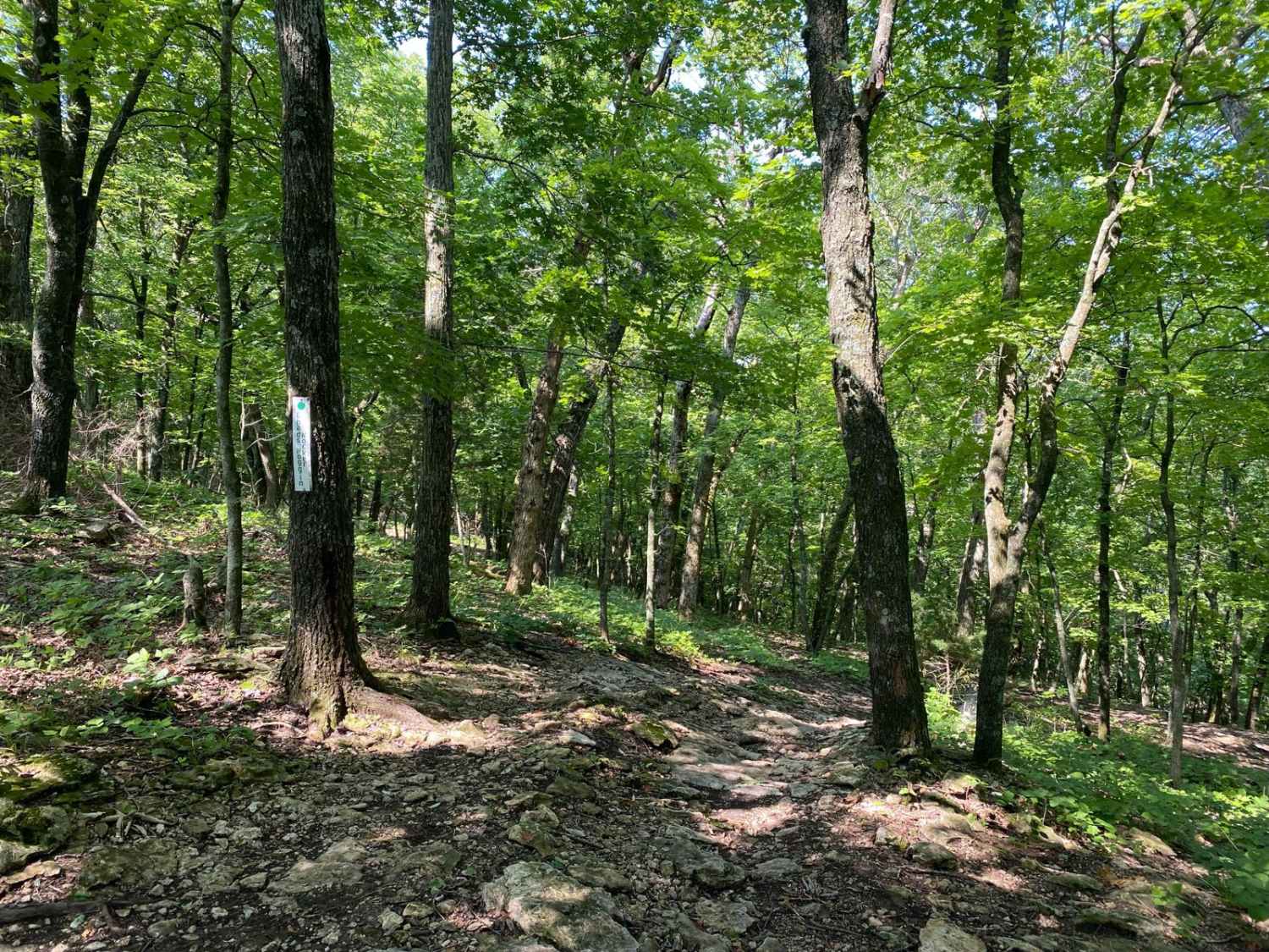
Chads Noggin Nocker is located within the Turkey Hill Area of the Park. It connects to West Bottoms at one end and Jeremys Jaunt at the other end. There are no spur trails, but at the end you will be connected to WoodCutter. There is no turnaround point on this trail once you start down from Jeremy's Jaunt.
Photos of Chads Noggin Nocker
Difficulty
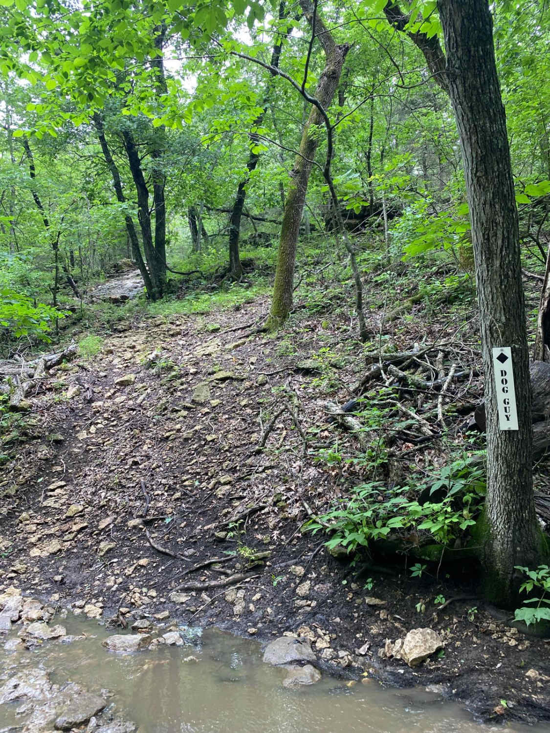
From Jermey's Jaunt, this trail starts out easy with a steep climb down with inclines of 29 degrees. It comes to a rock ledge that is 3 feet tall. Skid plates are highly recommended for this trail to prevent any kind of lower-body damage.
Status Reports
Popular Trails

Hangman's Haunt

Pickup Pinch

Jes Playin
The onX Offroad Difference
onX Offroad combines trail photos, descriptions, difficulty ratings, width restrictions, seasonality, and more in a user-friendly interface. Available on all devices, with offline access and full compatibility with CarPlay and Android Auto. Discover what you’re missing today!


