105C
Total Miles
0.2
Technical Rating
Best Time
Spring, Summer, Fall, Winter
Trail Type
Full-Width Road
Accessible By
Trail Overview
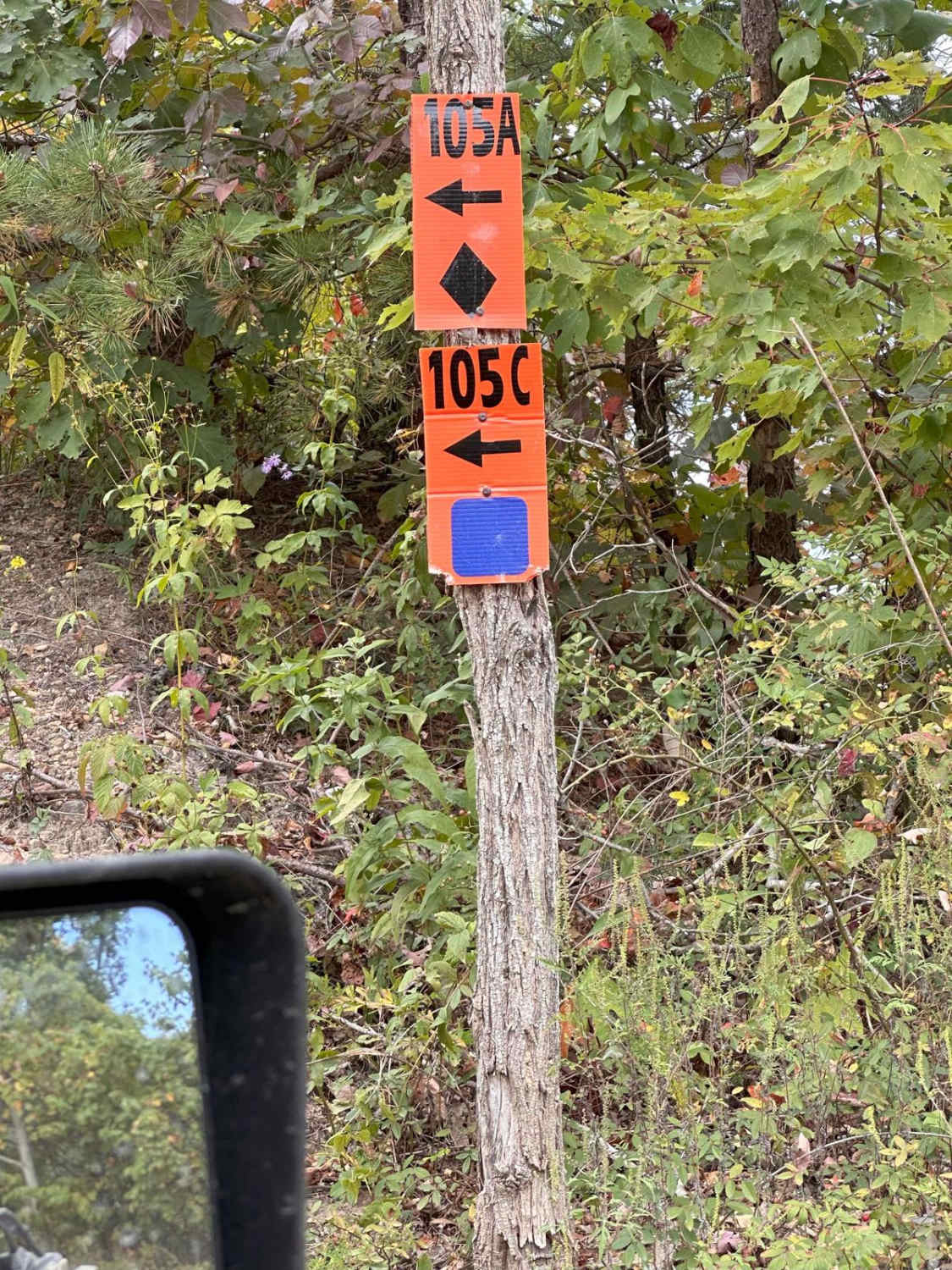
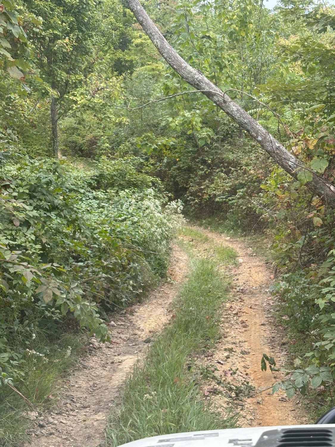
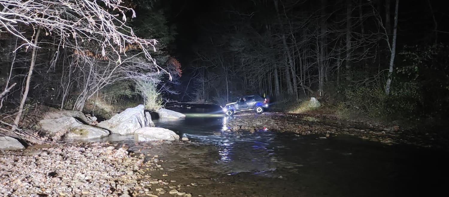
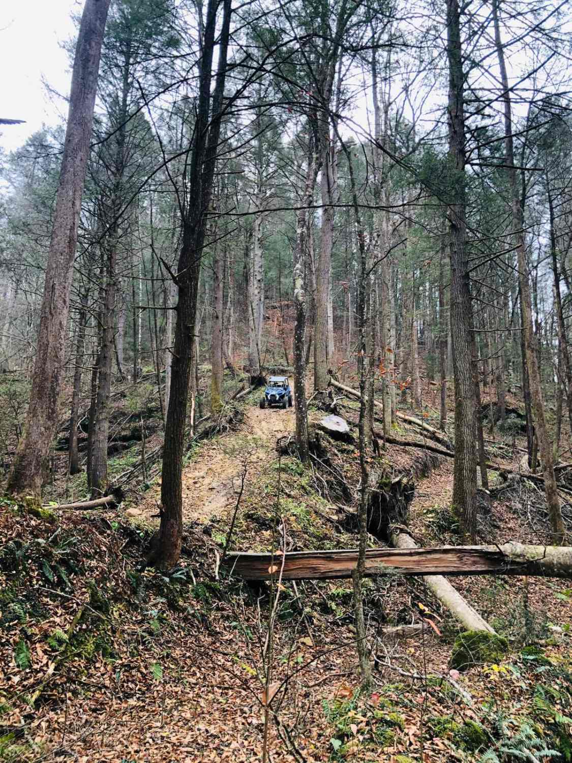
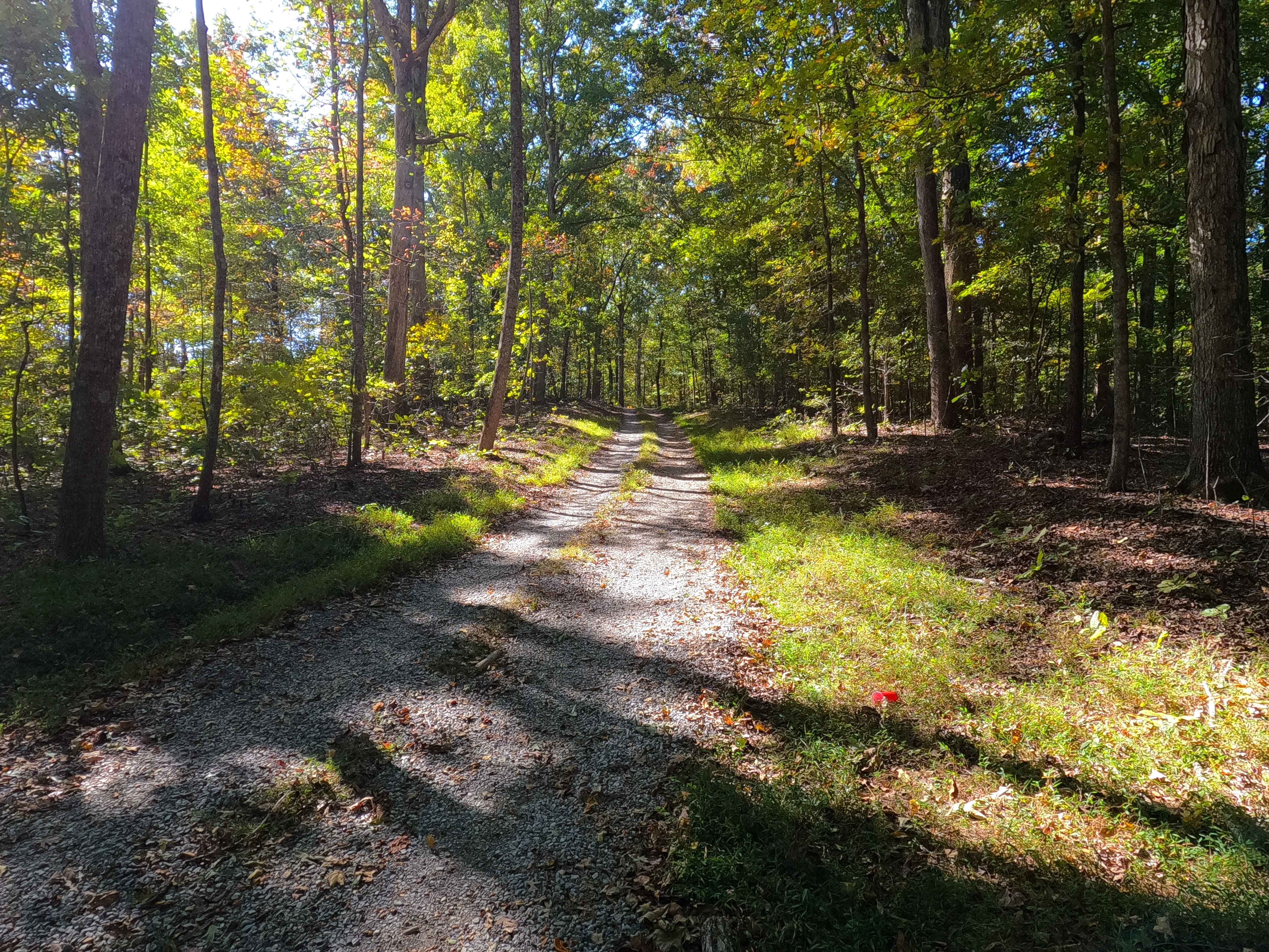
This trail is a connector trail from 105A to 105B. The surface is all dirt and there are a few steep hills to climb/descend depending on the direction of travel. There are a few places to take photos of the mountains that are peeking from behind the canopy of the trees. Be aware of oncoming traffic as this path is bi-directional and some parts are narrow enough for just one vehicle to travel. You can use this track as an access route from 105A back down to the beginning of 101.
Photos of 105C
Difficulty
There are a few steep parts of the track to navigate. Be aware of oncoming traffic.
Status Reports
105C can be accessed by the following ride types:
- High-Clearance 4x4
- SUV
- SxS (60")
- ATV (50")
- Dirt Bike
105C Map
Popular Trails

Lake Branch 3171
Spring Road - FS 155
The onX Offroad Difference
onX Offroad combines trail photos, descriptions, difficulty ratings, width restrictions, seasonality, and more in a user-friendly interface. Available on all devices, with offline access and full compatibility with CarPlay and Android Auto. Discover what you’re missing today!
