Black Lick Rd - DBBB
Total Miles
4.5
Technical Rating
Best Time
Spring, Summer, Fall, Winter
Trail Type
Full-Width Road
Accessible By
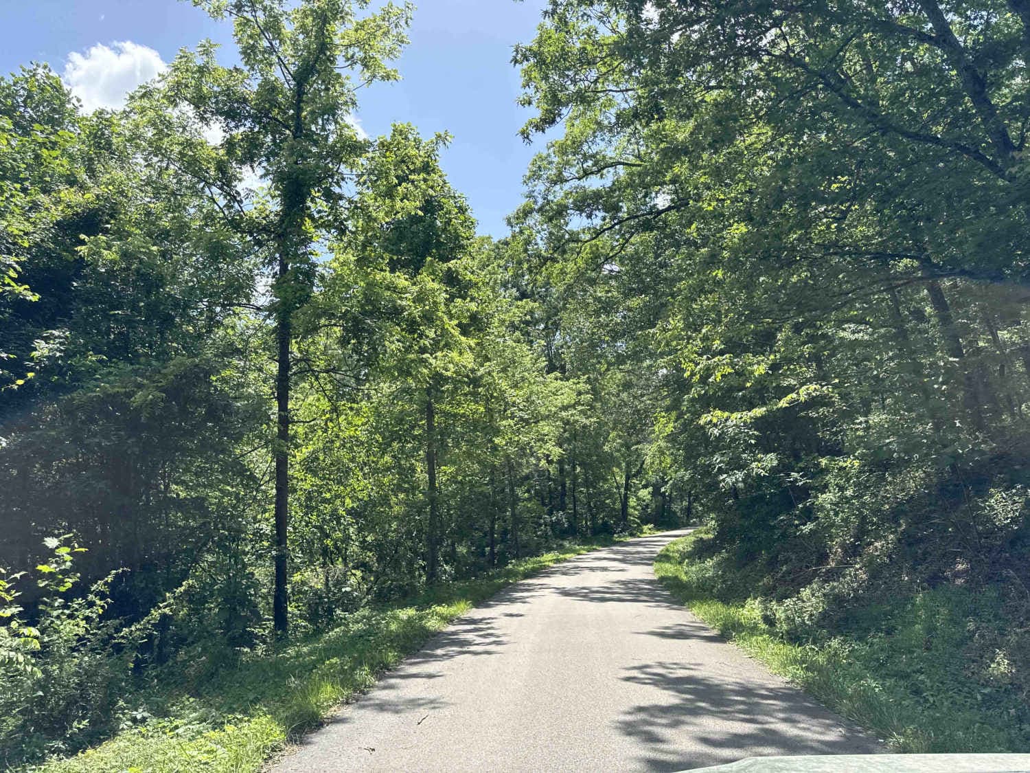
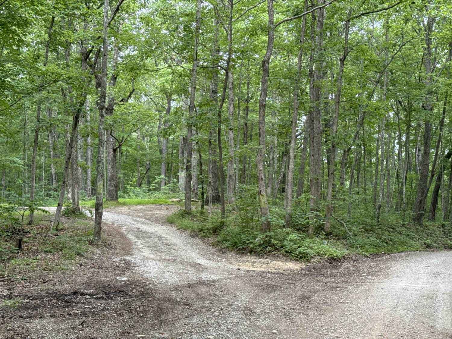
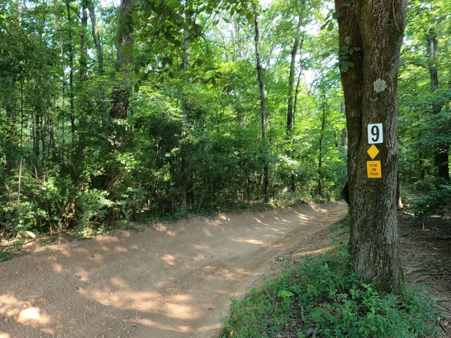
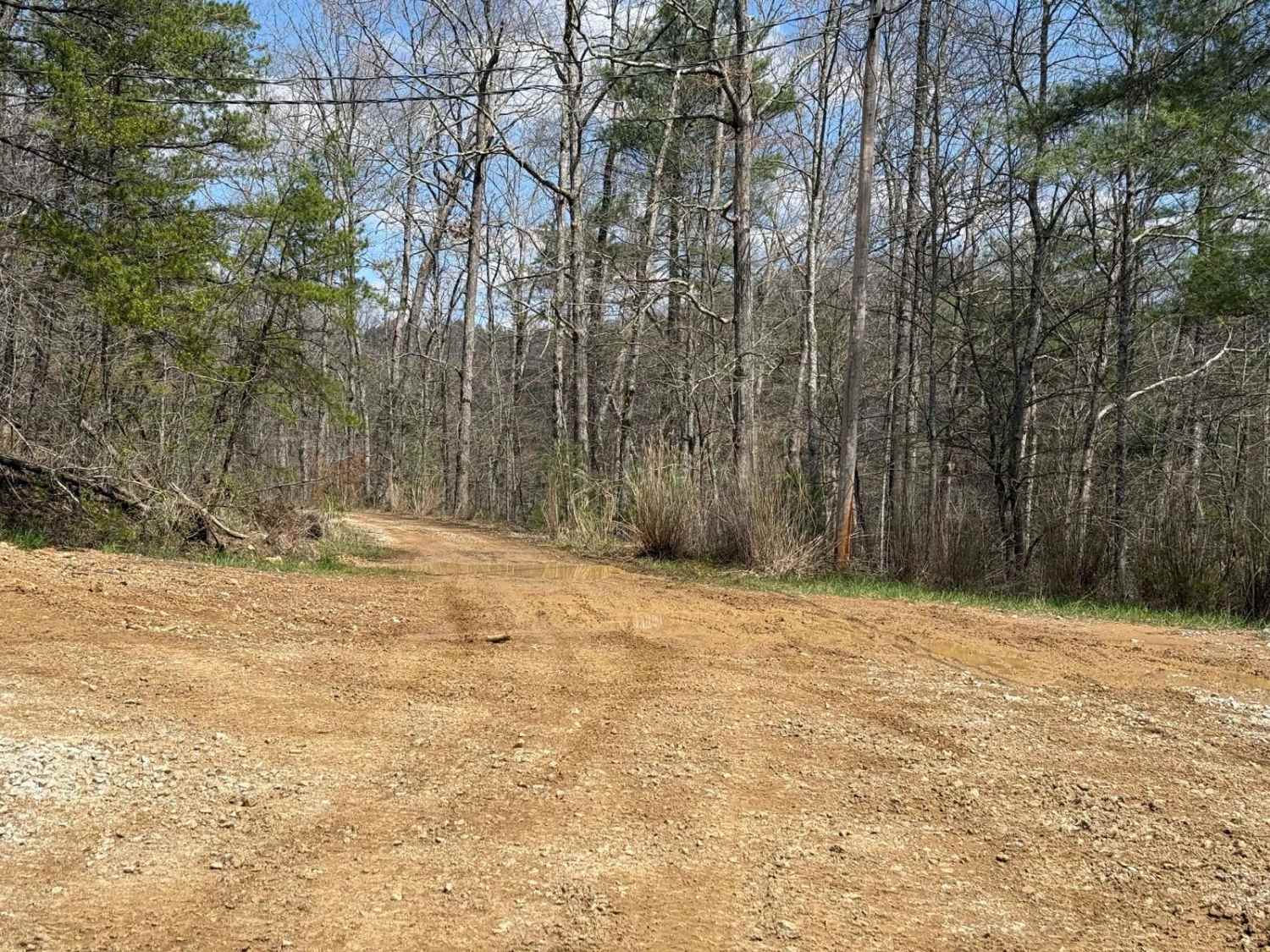
Trail Overview
This trail is on the very southern edge of the Daniel Boone Backcountry Byway. It features a paved road surrounded by many open rural fields and a nice roadside waterfall. There is a muddy descent to the creek crossing from Highway 89 with sandy banks. The water is typically 1-1.5' deep but can be as deep as 3-4' after a heavy rain.
Photos of Black Lick Rd - DBBB

Difficulty
There is only 1000' of trail that meets the rating of 3. The descent to the creek crossing and the ascent up the other side. Otherwise this is mostly gravel/paved. Just the section nearest highway 89 deserves this rating. There is a high water bypass just to the north.
Status Reports
Black Lick Rd - DBBB can be accessed by the following ride types:
- High-Clearance 4x4
- SUV
Black Lick Rd - DBBB Map
Popular Trails
9 to 8 Road

Trail 201 - Straight Fork Long Loop
The onX Offroad Difference
onX Offroad combines trail photos, descriptions, difficulty ratings, width restrictions, seasonality, and more in a user-friendly interface. Available on all devices, with offline access and full compatibility with CarPlay and Android Auto. Discover what you’re missing today!