Deerlick Trail
Total Miles
3.0
Technical Rating
Best Time
Fall
Trail Type
60" Trail
Accessible By
Trail Overview
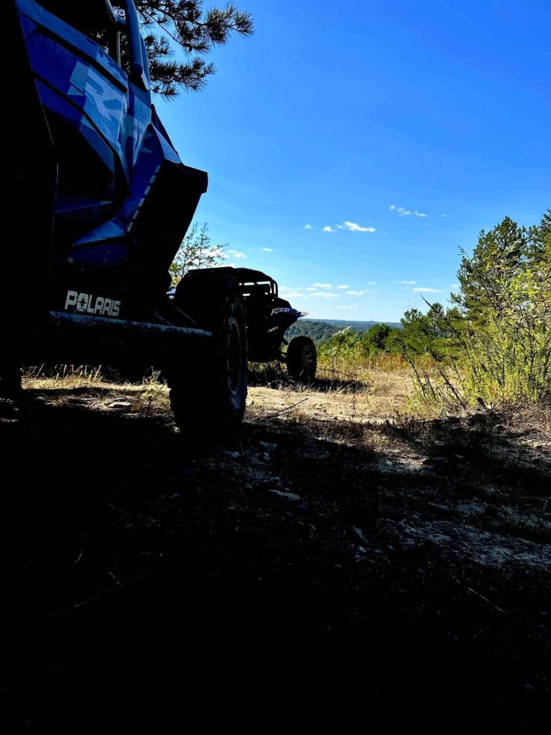
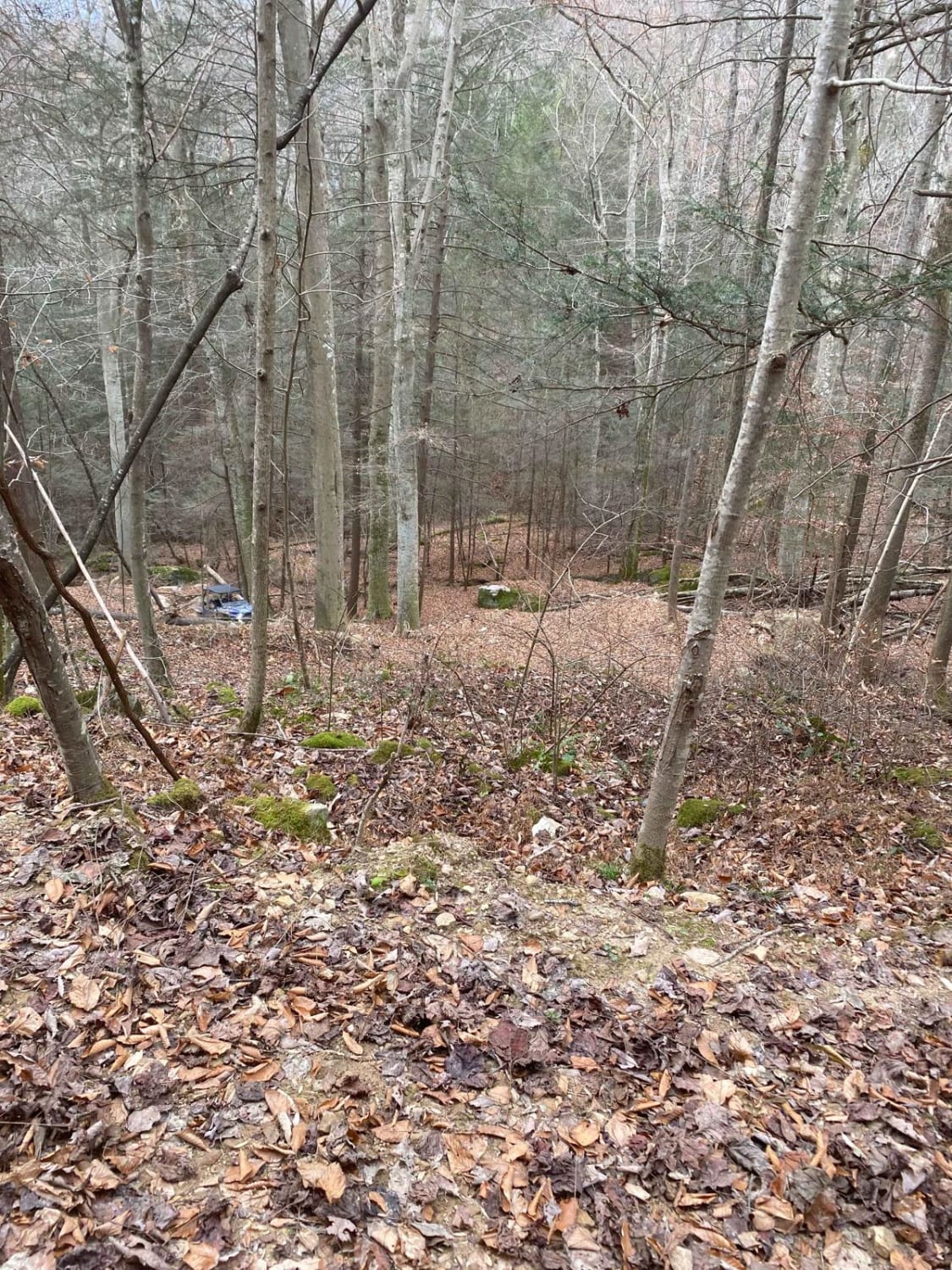
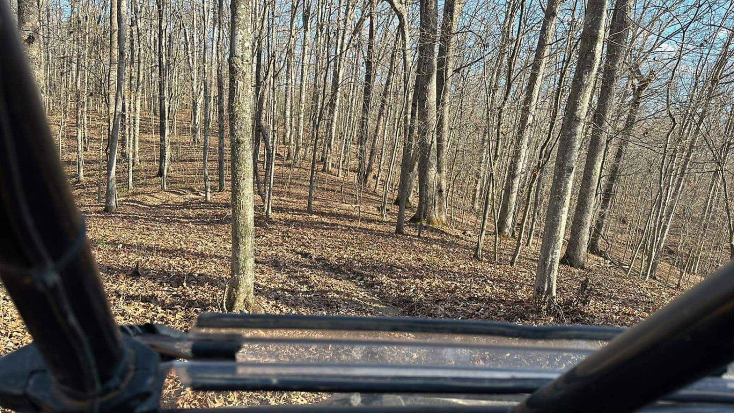
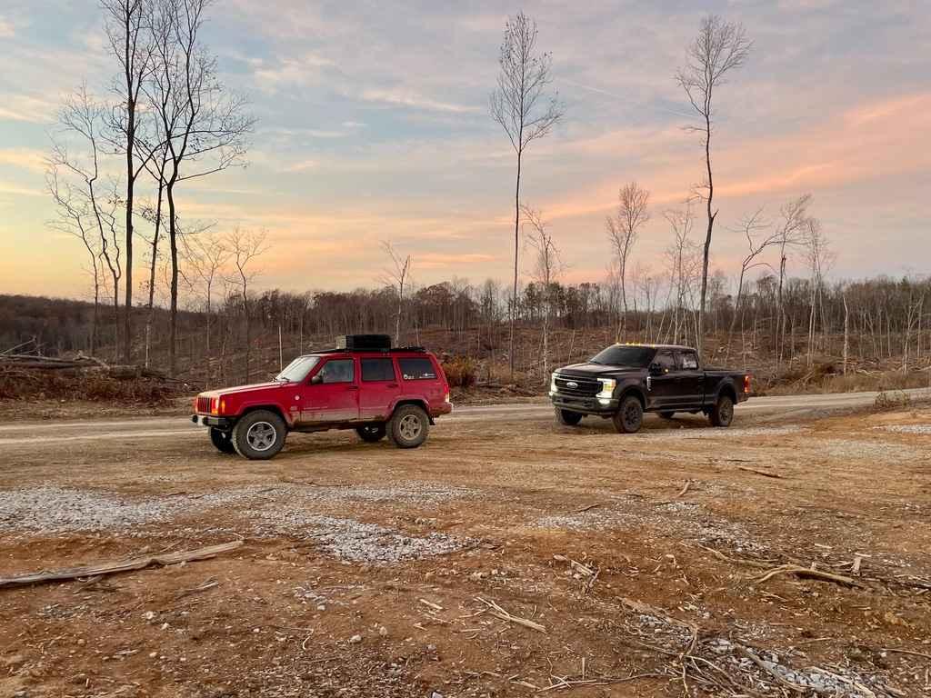
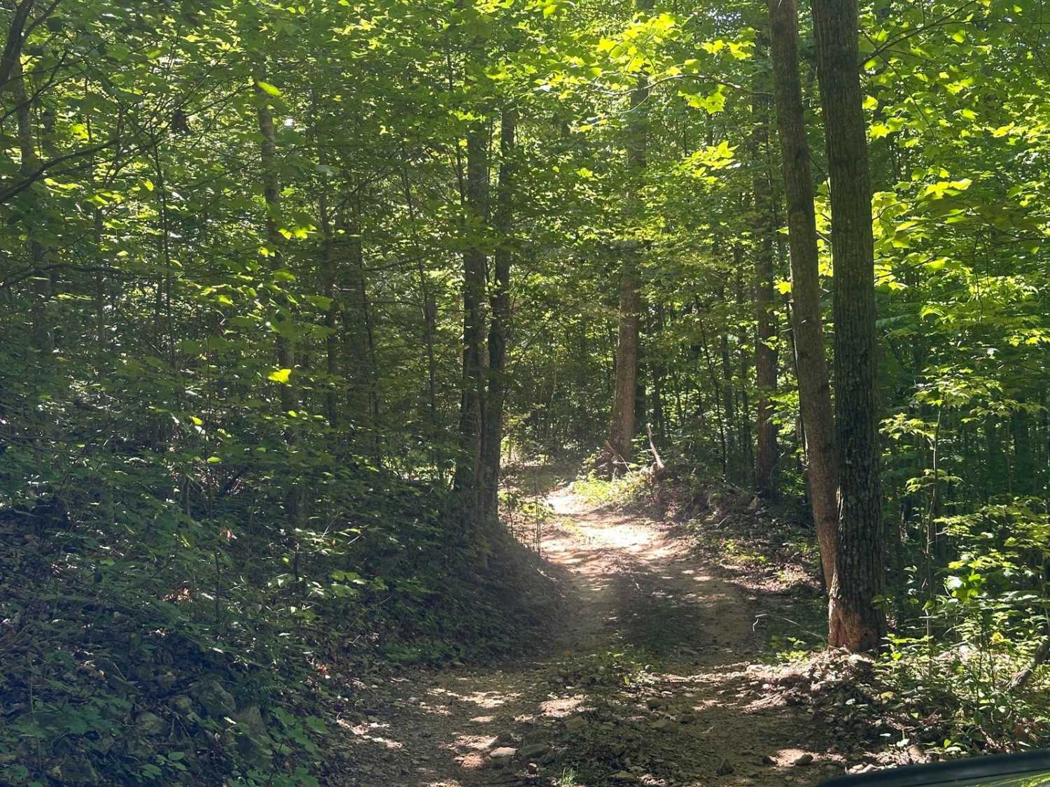
Deerlick Trail is a mixture of clay, mud, rock, and tree roots that runs around the end of the Greenbrier branch of Yatesville Lake. This trail connects Mud Holler to Deerlick Road through a series of hills and switchbacks. You will see fantastic views of Yatesville Lake and Boones Landing. It is known to be very rough with really steep hill climbs.
Photos of Deerlick Trail
Difficulty
The hill climbs can be very difficult. It is recommended to travel one way: from Mud Holler to Deerlick.
Status Reports

Popular Trails

Collie Cemetery - FS 307
Tornado Valley FSR 112
The onX Offroad Difference
onX Offroad combines trail photos, descriptions, difficulty ratings, width restrictions, seasonality, and more in a user-friendly interface. Available on all devices, with offline access and full compatibility with CarPlay and Android Auto. Discover what you’re missing today!