Fords Bay Road
Total Miles
3.7
Technical Rating
Best Time
Fall, Summer, Spring
Trail Type
Full-Width Road
Accessible By
Trail Overview
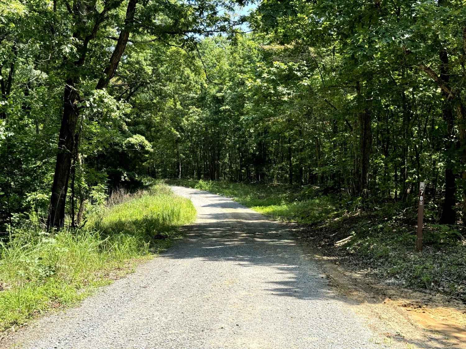
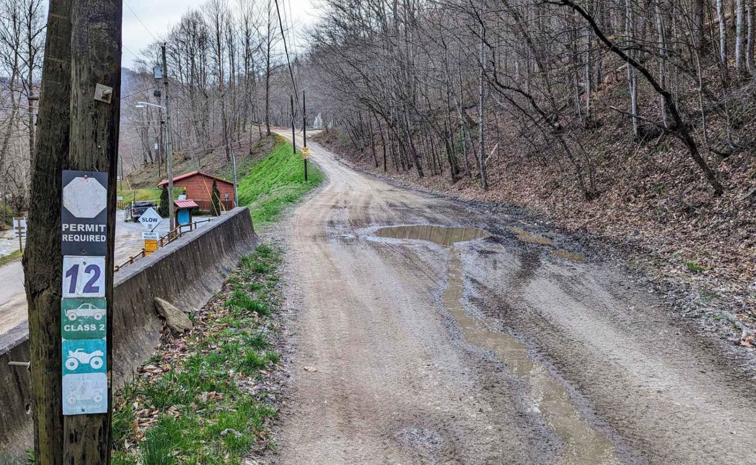
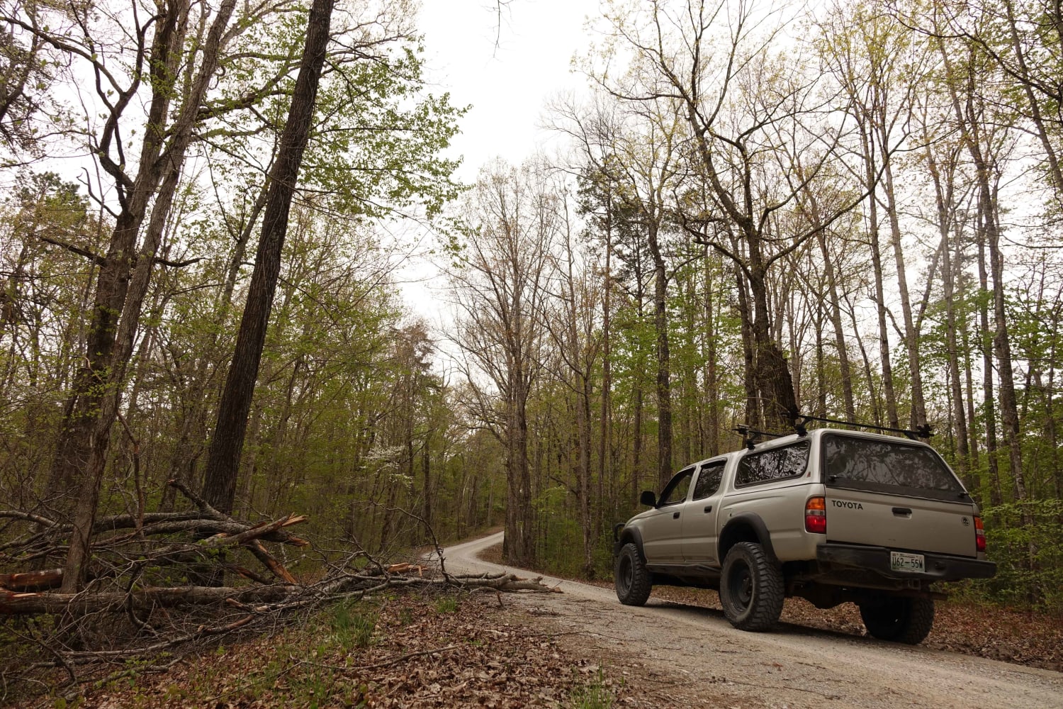
Fords Bay Road connects the main road (Woodlands Trace National Scenic Byway) with CR 165 and CR 347 which takes you to Fords Bay on Lake Barkley. The trail is a gravel forestry road with some soft sand spots that can turn into mud holes after heavy rain. Usually, this is a very easy road. The land between the Lakes is a 170,000-acre inland peninsula. Approximately 110,000 acres of Land between the Lakes are in Kentucky and 60,000 acres are in Tennessee. It makes up one of the largest, contiguous blocks of public land in the southeastern United States.
Photos of Fords Bay Road
Difficulty
This is a well-maintained Forest Road.
Status Reports
Popular Trails

Woodson Chapel Road - FS 129

River Beach Access
The onX Offroad Difference
onX Offroad combines trail photos, descriptions, difficulty ratings, width restrictions, seasonality, and more in a user-friendly interface. Available on all devices, with offline access and full compatibility with CarPlay and Android Auto. Discover what you’re missing today!


