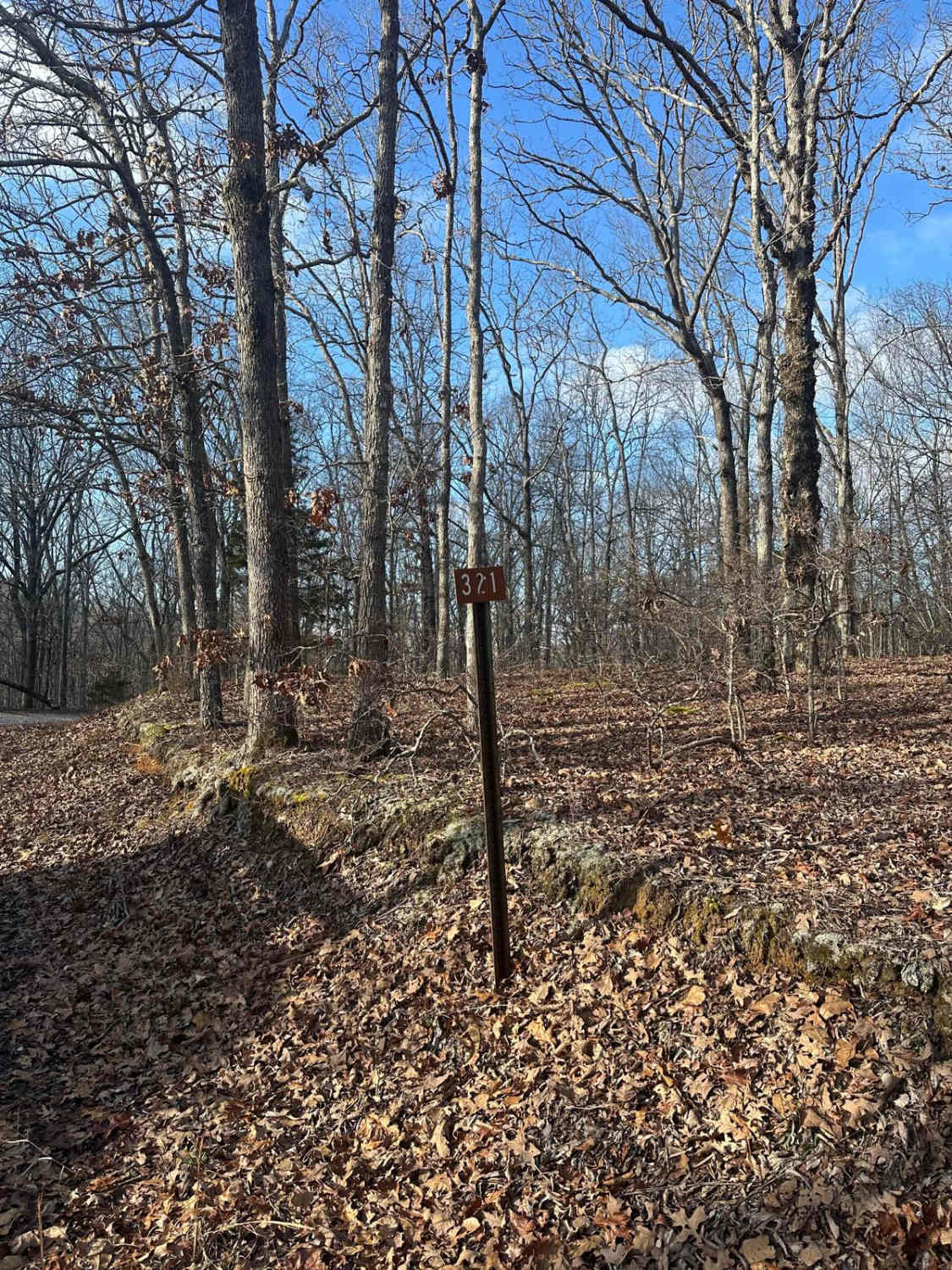
FSR - 321
Total Miles
0.7
Technical Rating
Best Time
Spring, Summer, Fall
Trail Type
Full-Width Road
Accessible By
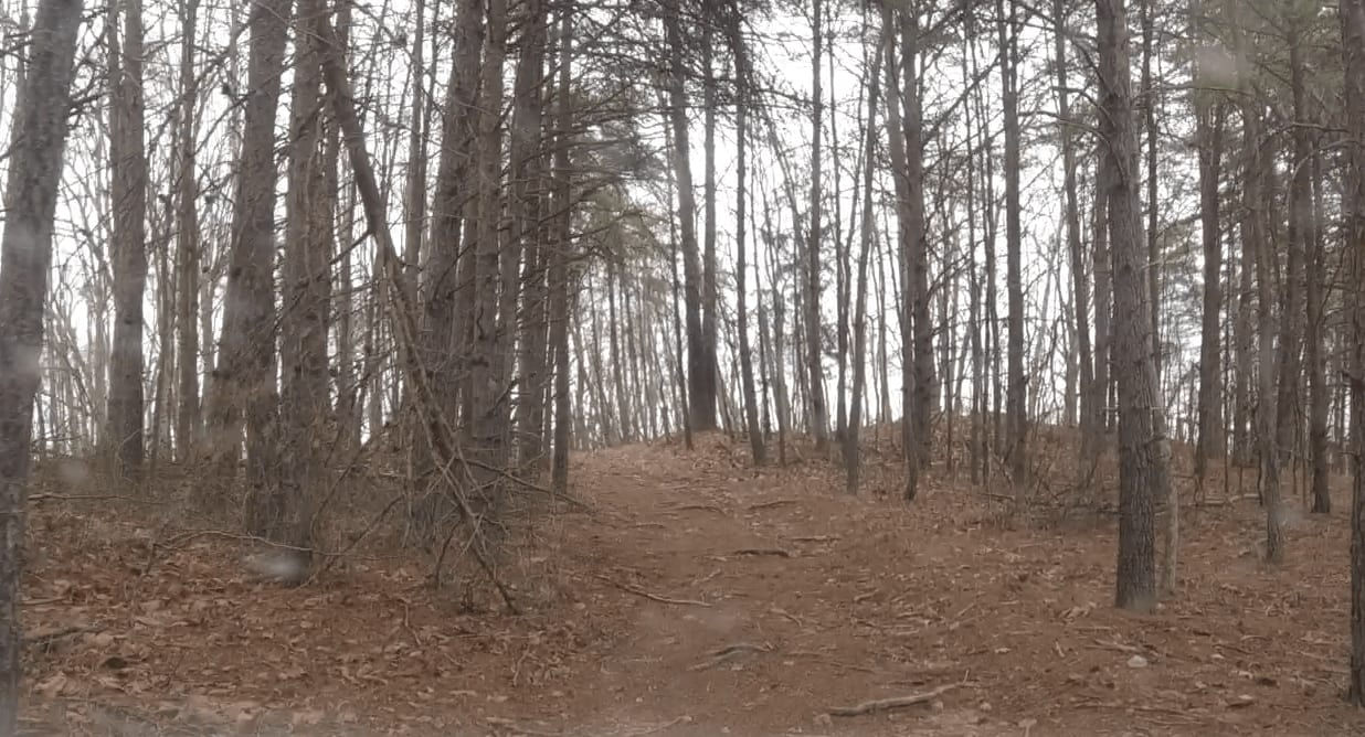
Trail Overview
Forest Service Road 321 is located in the northern half of Land Between the Lakes National Recreation Area off of Ironton Road - FSR 144. It is a dead-end road that is mostly gravel with a 1-2 foot deep creek crossing depending on recent weather, followed by a small incline. Leading up to the creek, it is mostly gravel with a mix of dirt following the crossing, it is a dirt road with some very small ruts.
Photos of FSR - 321
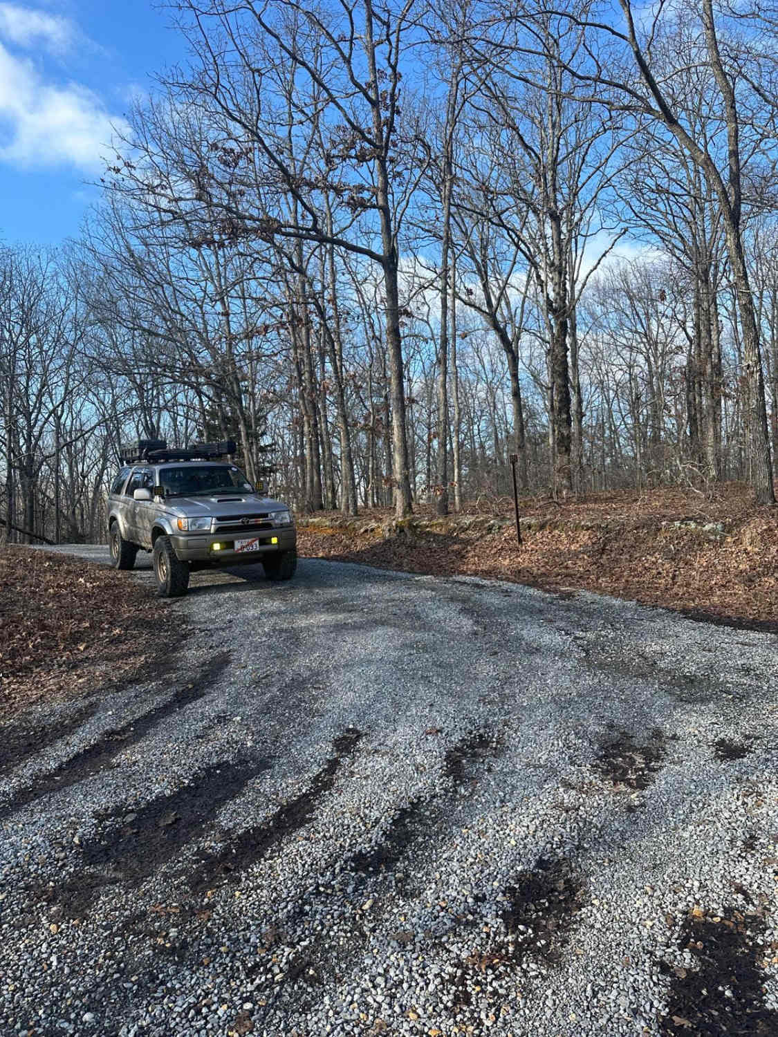
Difficulty
The road is mostly smooth gravel, the main difficulty lies with the small creek crossing near the middle of the trail. Generally, the creek will be ~1 foot deep or less, but with heavy rains, the water level rises. The small dirt road includes following the crossing can have very small ruts.
Status Reports

Popular Trails

Yale Road - FS 115
Wentworth School Rd
The onX Offroad Difference
onX Offroad combines trail photos, descriptions, difficulty ratings, width restrictions, seasonality, and more in a user-friendly interface. Available on all devices, with offline access and full compatibility with CarPlay and Android Auto. Discover what you’re missing today!