Jellico Creek Road
Total Miles
2.6
Technical Rating
Best Time
Spring, Summer, Fall
Trail Type
Full-Width Road
Accessible By
Trail Overview
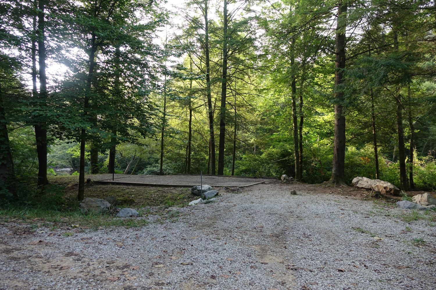
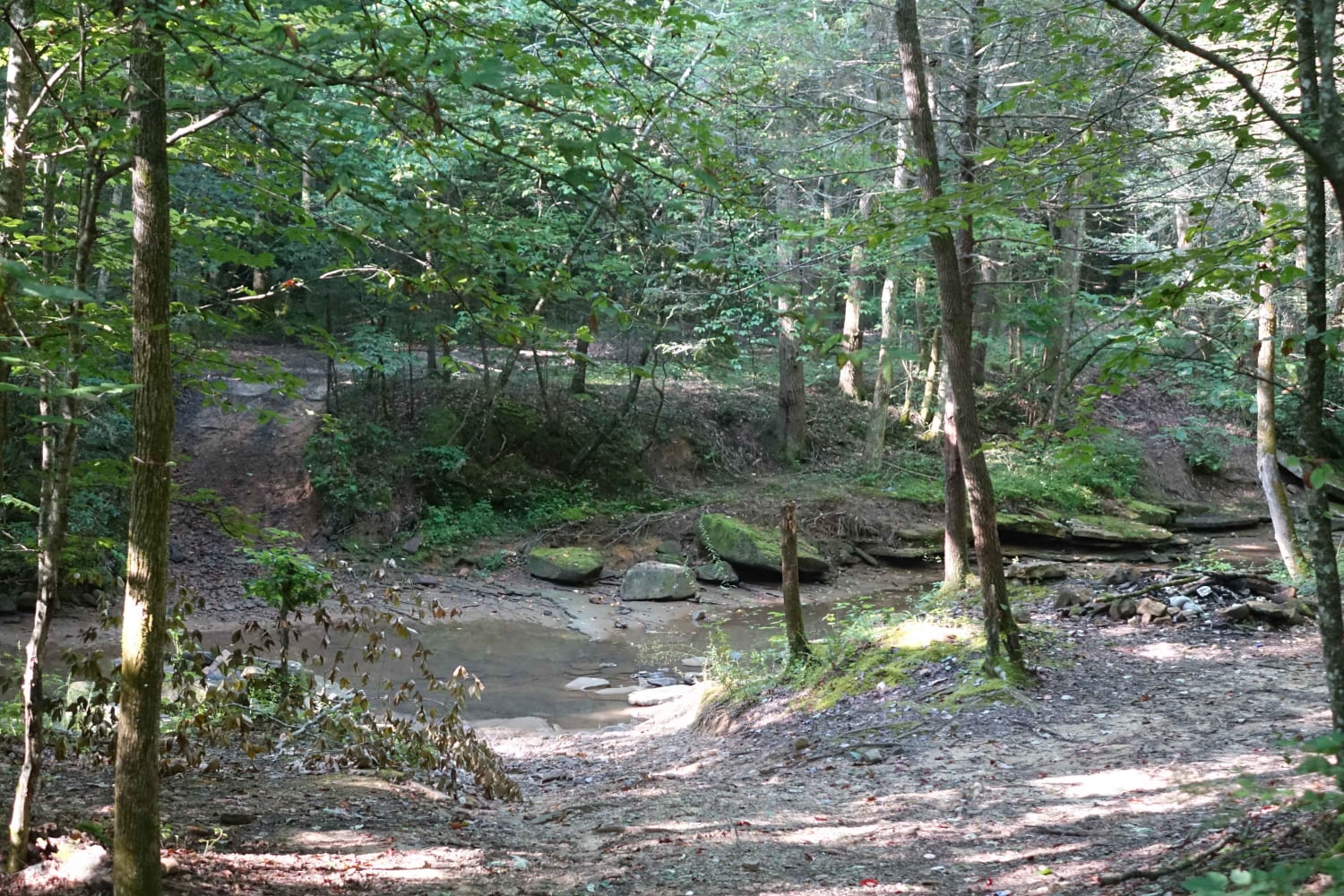
Jellico Creek Road, aka Rock Creek Road, connects to Angel Mountain Road and Little Rock Road to the west and then transitions to pavement to the east. Along the 2.75 mile route, you'll find several creekside campsites. During holiday weekends they can be very popular so be prepared for the possibility of finding alternative locations for camp. Cell service is spotty. Most of the campsites provide picnic tables and leveled areas for tents. Water from the creek is available for filtration. During times of high water, there are a few possible water crossings. Forest Service signs warn against crossing those areas during dangerous conditions.
Photos of Jellico Creek Road
Difficulty
Outside of the possibility of high water, it's relatively tame.
Status Reports
Popular Trails
Wentworth School Rd
3 to A Road
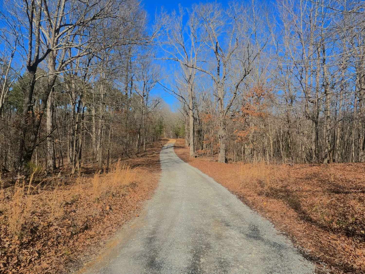
Woodland Road - FS 314
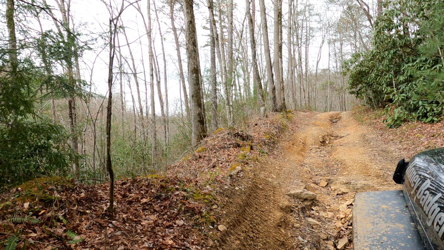
Lake Trail
The onX Offroad Difference
onX Offroad combines trail photos, descriptions, difficulty ratings, width restrictions, seasonality, and more in a user-friendly interface. Available on all devices, with offline access and full compatibility with CarPlay and Android Auto. Discover what you’re missing today!
