Smith Cemetery Road - FS 120
Total Miles
1.6
Technical Rating
Best Time
Spring, Summer, Fall, Winter
Trail Type
Full-Width Road
Accessible By
Trail Overview
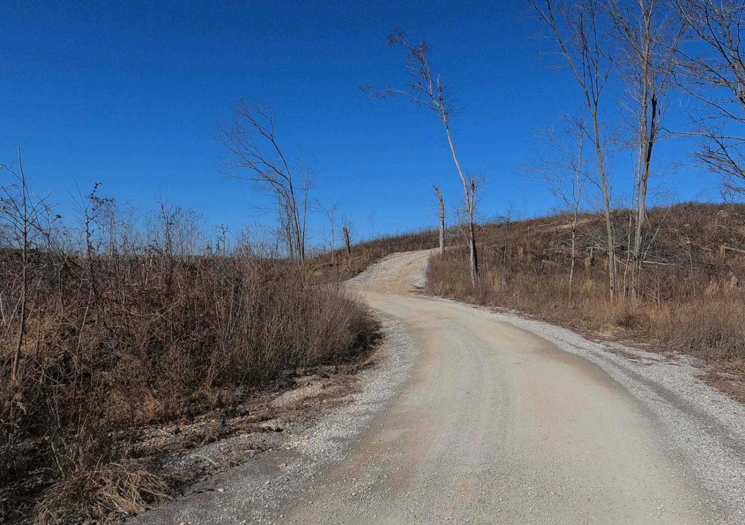
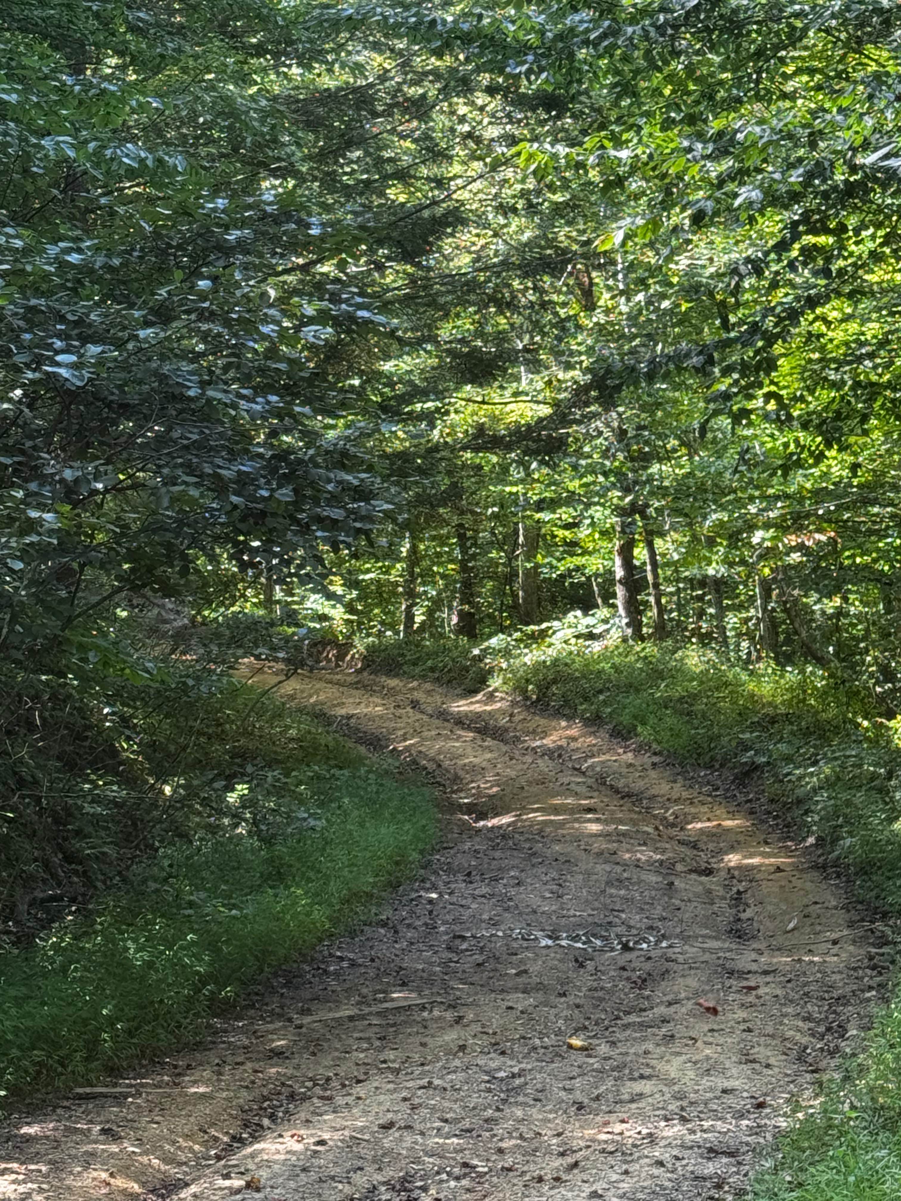
Smith Cemetery Road FS 120 is a gravel forestry road through the northern Kentucky section, Lake Barkley side, of the Land Between the Lakes National Recreation Area. The Smith Cemetery is a gravel road coming off the Tornado Valley/Brandon Chapel Road FS 112. It begins in the valley bottoms leading to the nearby southern depths of Demumbers Bay, climbing a mild grade to the hilltops and ultimately ending at the northern coast of LBL at the shorelines of Demumbers Bay and Lake Barkley. The road features access to the Smith Cemetery, camp cutouts, hunting offshoot trails, and the hiking trail to the notorious Hotel California, the foundation remains of an old house resembling a motel. It's a great historic trail at LBL, including the modern history of the December 2021 Mayfield Tornado, the old history of Smith Cemetery, and the remains of Hotel California.
Photos of Smith Cemetery Road - FS 120
Difficulty
Smith Cemetery is generally a simple gravel road. It is mostly a 1/10, consisting of a flat valley section of road with a few 3-inch water splashes where feeder creeks lay. The 2/10 base rating comes from the mild grades up and down the bayside hills section of the road, where between maintenance cycles rainwater channels form mild 3 to 12-inch erosion ruts exposing the base of loose coarse natural gravel. At a minimum, expect washboards, potholes, mounding of the gravel, and spots where the gravel fades to dirt. The road could become more difficult after heavy use, wet conditions, and inclement weather, but also could be mended to be a 1/10 road again.
History
The FS 120 was severely hit by the December 10th/11th 2021 EF4 Tornado. As of 3/2024, the damage from this is still evident in the southern section of the trail, near the FS 112. The Tornado was roughly 1 to 1.5 miles wide when it passed through LBL on its 165-mile tear through Arkansas, Missouri, Tennessee, and Kentucky. The trail features the Smith family cemetery at 36.98627, -88.14607, started by the Moulton family in 1860 and later renamed Smith in 1903. It features over 200 gravesites; please pay respect to those who came before us. The big relic of the trail is Hotel California, found at 36.98707, -88.14209, a motel-looking block house tucked into the valley east of the Smith cemetery at the northern end of the trail. A hiking path entry to the Hotel California can be easily found with painted boulders resting on the east shoulder of the FS 120 at 36.98387, -88.14195. The home was owned by Grover Marler, a retired riverboat captain, building a retirement home for himself and his wife. The origins of the structure are speculated in the 1950s, shortly before the 1960s land takeover by the Tennessee Valley Authority in the LBL area. Historical photos and info are sourced from TVA and https://www.fourriversexplorer.com/hotel-california-in-lbl/.
Smith Cemetery Road - FS 120 can be accessed by the following ride types:
- High-Clearance 4x4
- SUV
Smith Cemetery Road - FS 120 Map
Popular Trails
Wentworth School Rd
Turkey Creek Road FSR 167
Old Fincastle Rd
The onX Offroad Difference
onX Offroad combines trail photos, descriptions, difficulty ratings, width restrictions, seasonality, and more in a user-friendly interface. Available on all devices, with offline access and full compatibility with CarPlay and Android Auto. Discover what you’re missing today!

