Woods Road
Total Miles
7.1
Technical Rating
Best Time
Spring, Fall
Trail Type
Full-Width Road
Accessible By
Trail Overview
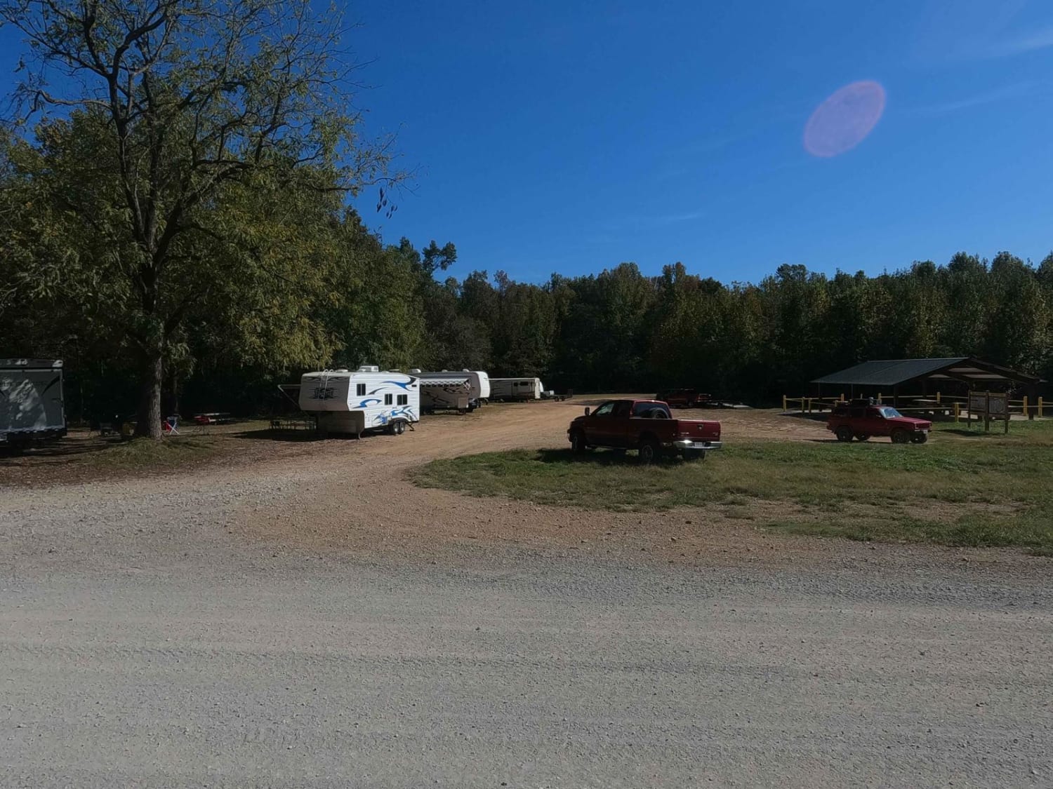
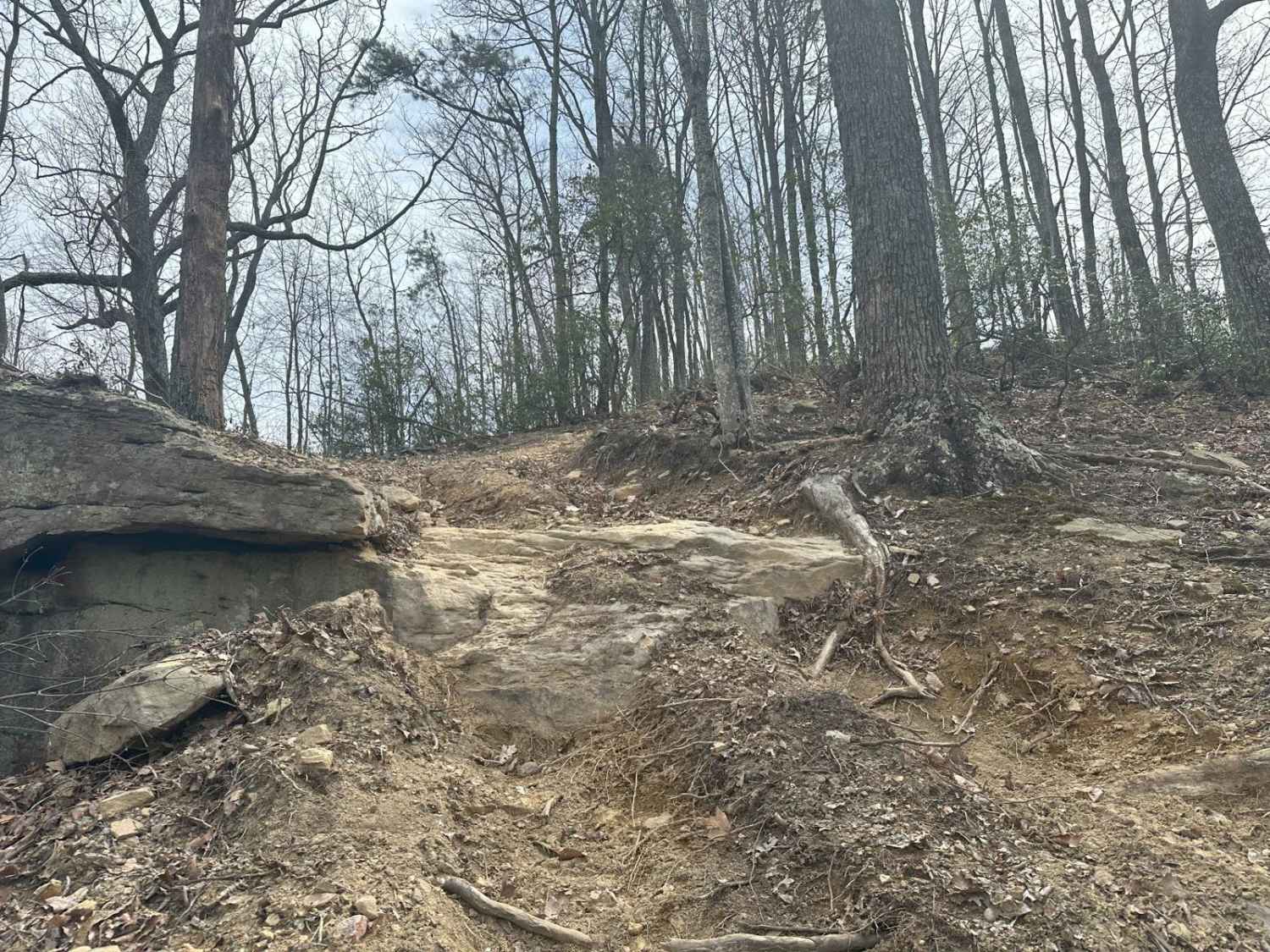
Woods Road is a great area that offers dispersed camping, campground camping, hiking, and fishing options all along the 7 mile stretch of gravel. Woods Road parallels Rock Creek for most of its length and provides a great base to further explore Daniel Boone National Forest and Big South Fork. Gobbler's Arch and the Sheltowee Trace hiking trails are also accessible along the route. The majority of the road is well-maintained gravel. A few sections are rougher, but still navigable by a high clearance 2WD vehicle. Near the southern end of the trail, there are two possible water crossings during periods of high water. Both have concrete bottoms.
Photos of Woods Road
Difficulty
It's a well maintained and popular NF road.
Woods Road can be accessed by the following ride types:
- High-Clearance 4x4
- SUV
Woods Road Map
Popular Trails

DBBB - Green Pond Ridge Road

Big Branch 3044

Mays Camp - FS 167 D2
The onX Offroad Difference
onX Offroad combines trail photos, descriptions, difficulty ratings, width restrictions, seasonality, and more in a user-friendly interface. Available on all devices, with offline access and full compatibility with CarPlay and Android Auto. Discover what you’re missing today!


