Beaver Dam Run
Total Miles
3.2
Technical Rating
Best Time
Summer
Trail Type
Full-Width Road
Accessible By
Trail Overview
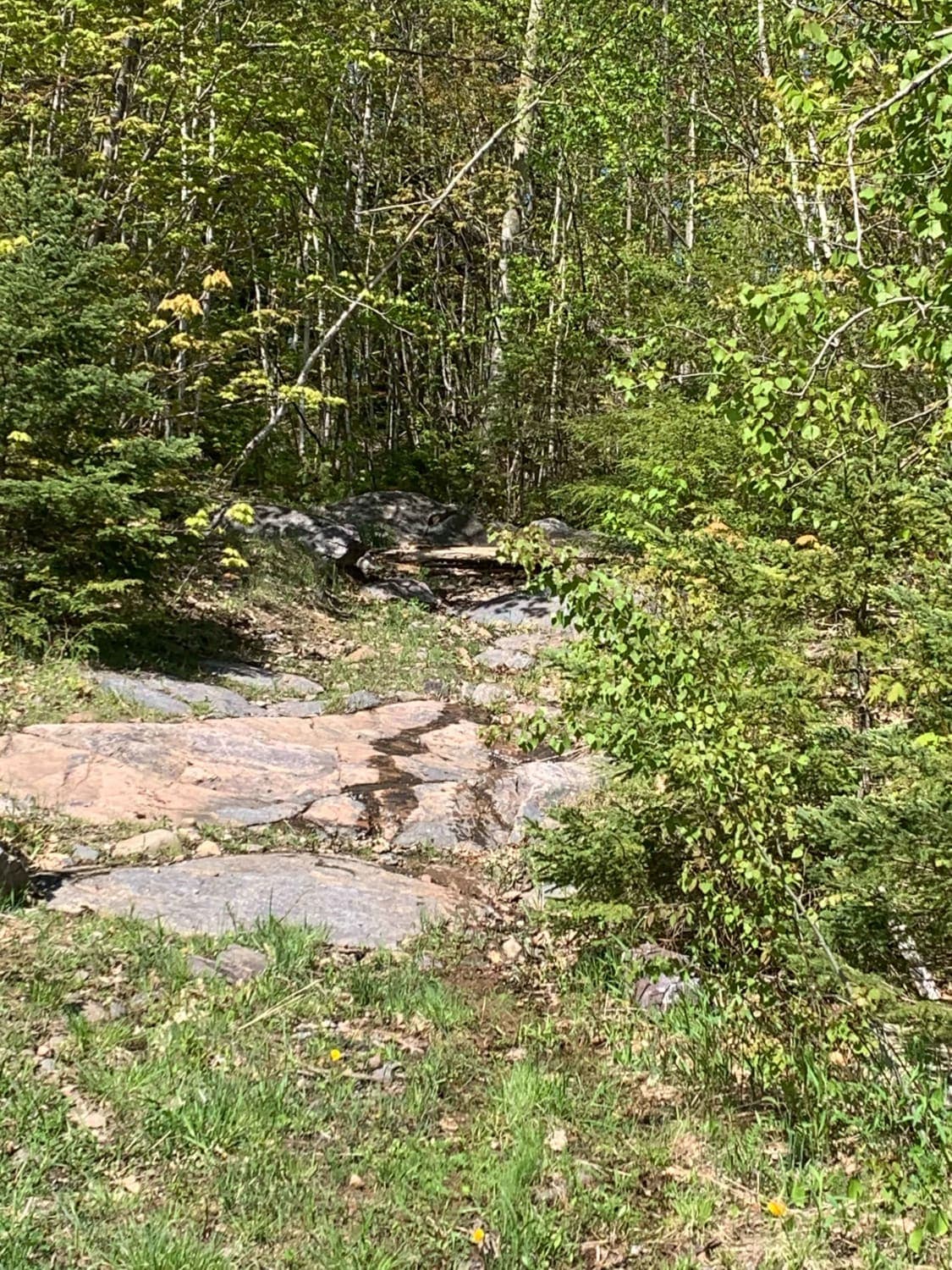
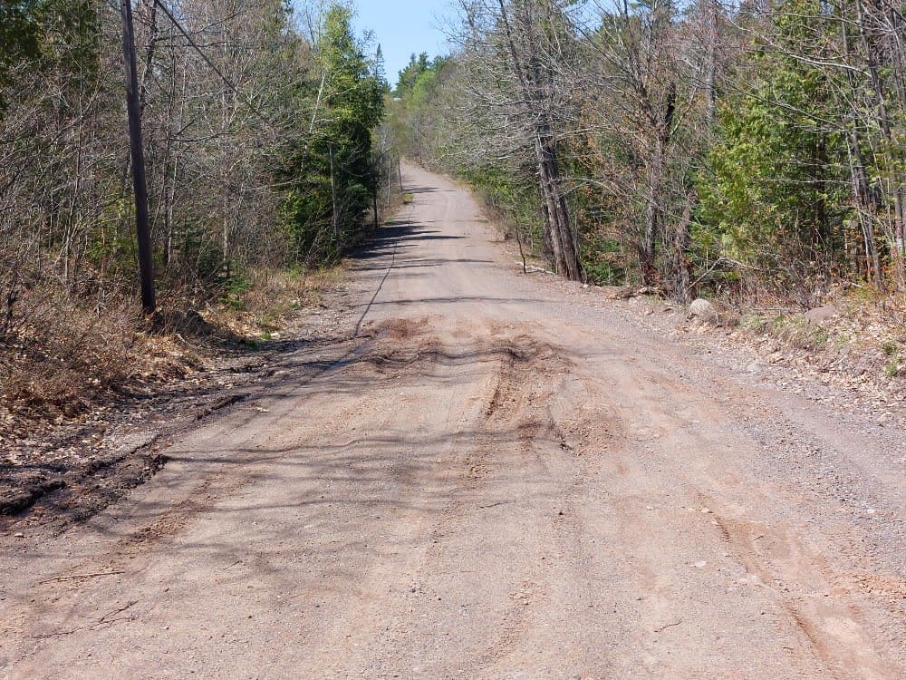
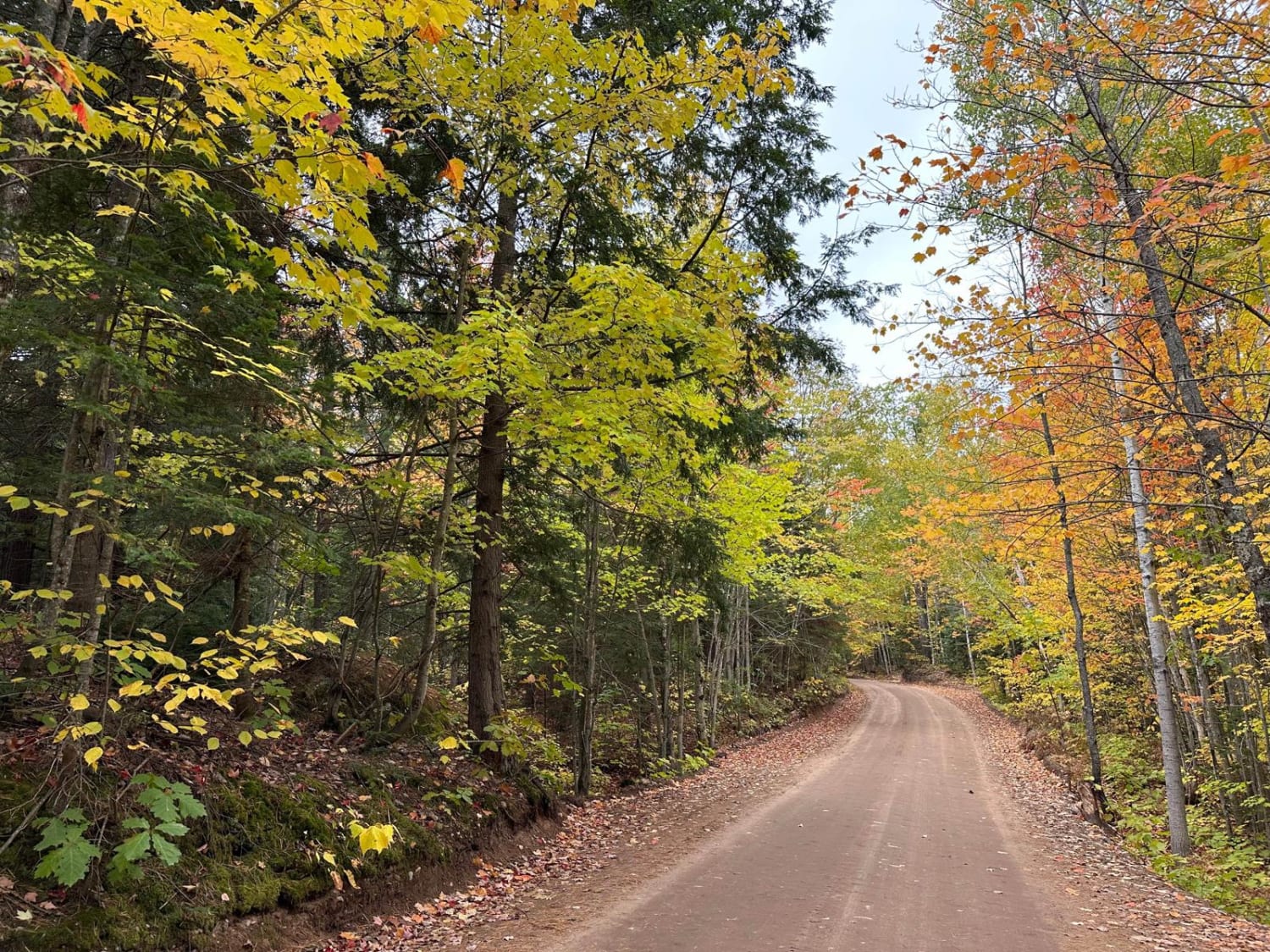
This trail is accessed by County Road NC off of 480. This trail has a bypass on your left before you come to the gatekeeper at the snowmobile crossing. The bypass can be run by most 4WD vehicles without a lift if careful lines are chosen. The marked route is advisable for only lifted vehicles with at least one locking differential. This is the most difficult obstacle on the trail, from here things get a bit easier. Expect pumpkin-to-end table-sized rocks throughout, with various ledges and outcroppings. All will have bypass lines. This trail is primarily dirt roads with washouts, mud holes, and small water over road areas throughout. This trail offers intermediate to technical offboarding, through the Ragged and Kona Hills area. Excellent wooded views and beautiful forest abound throughout. This is an out-and-back route as the two-track, if followed does go through a gas easement. It is advisable to turn around where this track ends to ensure you stay on public use property.
Photos of Beaver Dam Run
Difficulty
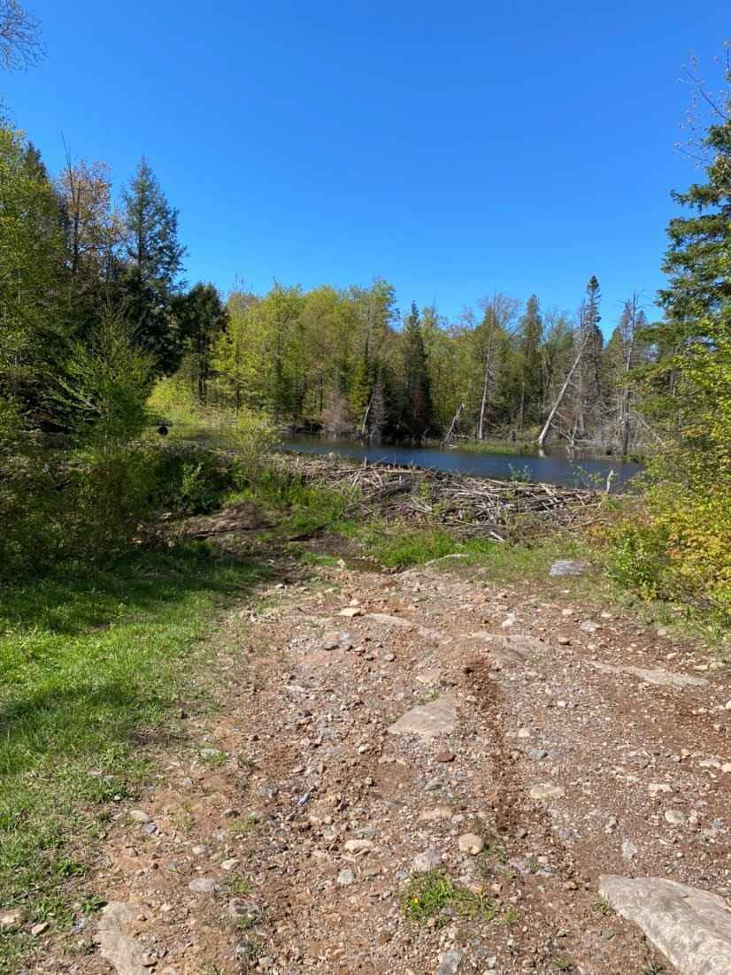
Overall the route is easy, however the gatekeeper on the first hill and the out and back along the powerline hill are both Intermediate based on loose rock, large washouts and ledges over 2 feet in height. Most of the trail and bypasses can be completed with a standard 4WD vehicle, however, the beaver pond section will require precise maneuvering as well as the small loop at the end of the route. Both are steep, solid rock climbs where an open differential may have difficulties.
Status Reports
Beaver Dam Run can be accessed by the following ride types:
- High-Clearance 4x4
- SUV
- SxS (60")
- ATV (50")
- Dirt Bike
Beaver Dam Run Map
Popular Trails
Forestville Road
The onX Offroad Difference
onX Offroad combines trail photos, descriptions, difficulty ratings, width restrictions, seasonality, and more in a user-friendly interface. Available on all devices, with offline access and full compatibility with CarPlay and Android Auto. Discover what you’re missing today!
