Caledonia Road
Total Miles
4.9
Technical Rating
Best Time
Summer, Fall, Spring
Trail Type
Full-Width Road
Accessible By
Trail Overview
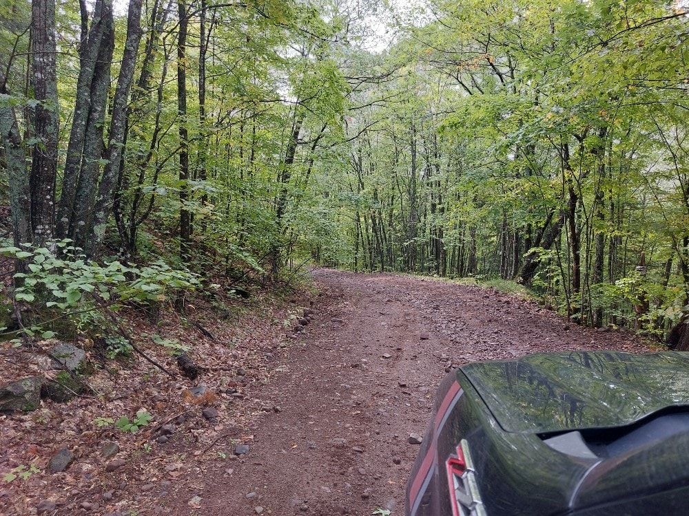
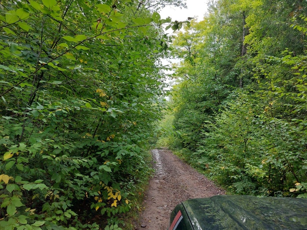
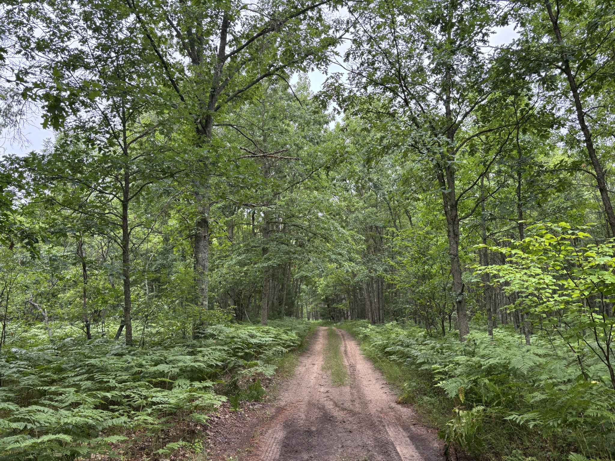
This is an overall mellow trail with a fair amount of elevation change for the area. Mostly a gravel base there is some mud, a stream crossing, and one long steep climb/descent depending on which direction you take it. The trail is very narrow in sections so wide vehicles and campers are urged to avoid it if they don't want scratches. The trail is mostly 1 lane wide and not maintained.
Photos of Caledonia Road
Difficulty
Sections of the trail are rutted and unmaintained. Several hills are steep with loose rocks and mud. The stream typically is less than 8" deep but may rise during a heavy rain. The trail is very narrow and will cause scratches on full-size vehicles.
History
Passes by the historical Caledonia Copper Mine.
Status Reports
Caledonia Road can be accessed by the following ride types:
- High-Clearance 4x4
- SUV
- SxS (60")
- ATV (50")
- Dirt Bike
Caledonia Road Map
Popular Trails

The Fish Bowl
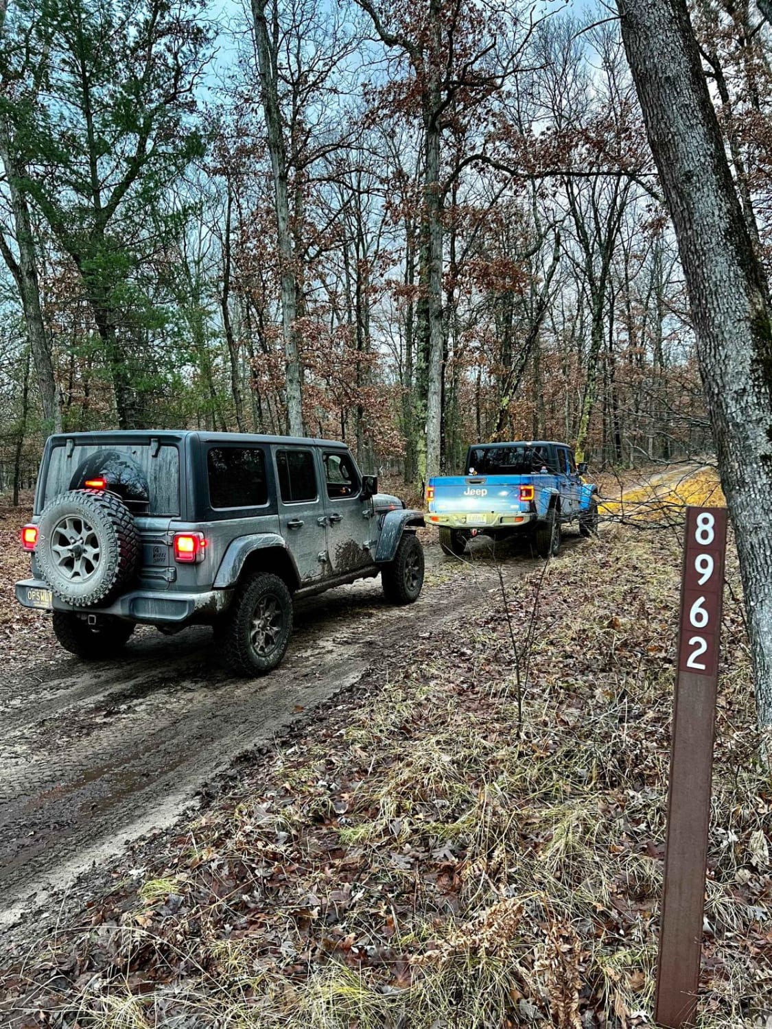
NFS 8962 (Access Road)
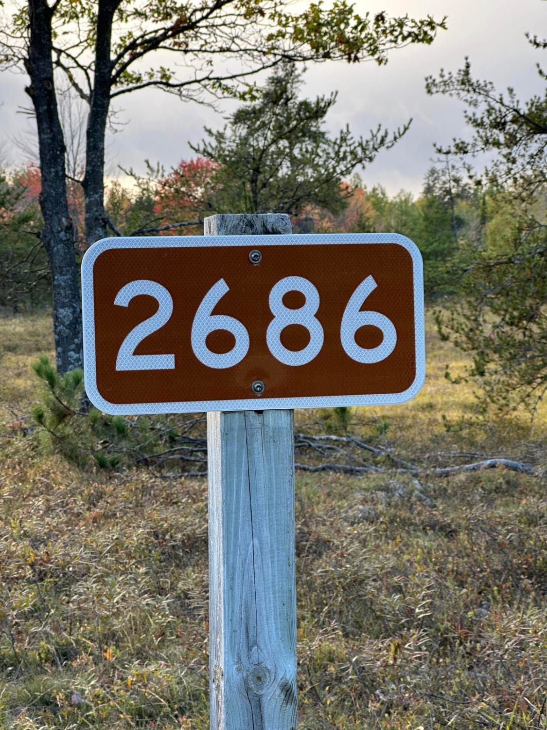
Bog Lake - FS 2686
Steinberg Road - FS 5502
The onX Offroad Difference
onX Offroad combines trail photos, descriptions, difficulty ratings, width restrictions, seasonality, and more in a user-friendly interface. Available on all devices, with offline access and full compatibility with CarPlay and Android Auto. Discover what you’re missing today!
