CR 412 Crisp Point Road
Total Miles
6.8
Technical Rating
Best Time
Spring, Summer, Fall
Trail Type
Full-Width Road
Accessible By
Trail Overview
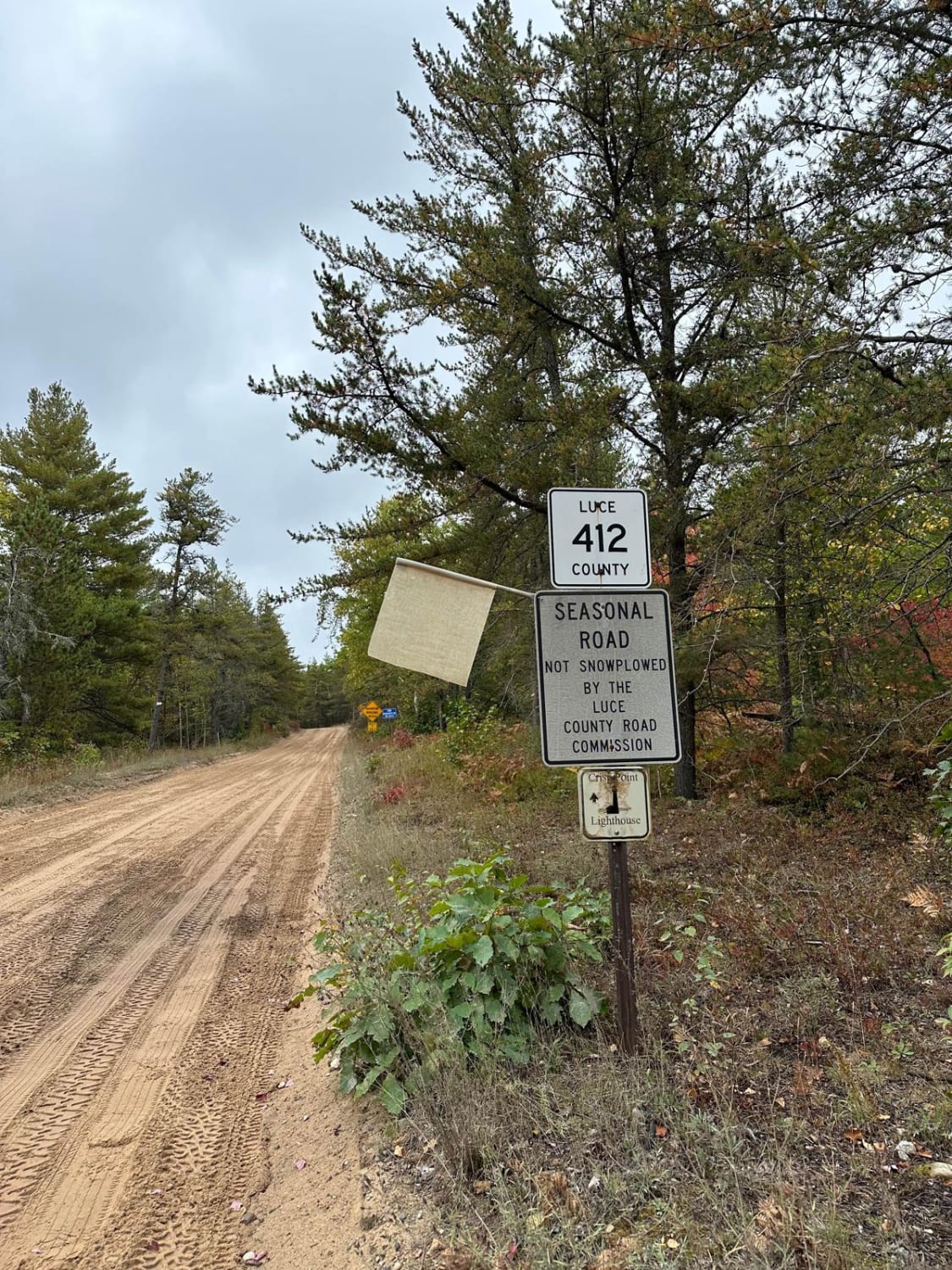
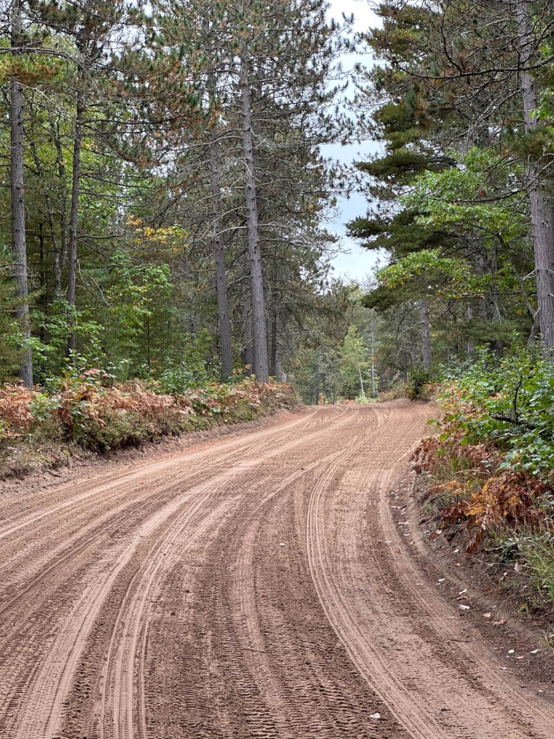
CR 412 Crisp Point Road is the last stretch to Crisp Point Lighthouse. This section is a seasonal road that has washboard bumps with a sand-dirt combination. During spring thaw and after heavy rain, this road can get challenging. There is limited cellphone service on most of the trails in this area.
Photos of CR 412 Crisp Point Road
Difficulty
This trail is rated a 2 because you could encounter soft sand and mud after a heavy rain.
History
Crisp Point was one of five U.S. Life-Saving Service Stations along the coast of Lake Superior between Munising and Whitefish Point in the Upper Peninsula of Michigan. Construction started in 1903 and it opened in May 1904. Its height is 59 feet.
Status Reports
CR 412 Crisp Point Road can be accessed by the following ride types:
- High-Clearance 4x4
- SUV
- SxS (60")
- ATV (50")
- Dirt Bike
CR 412 Crisp Point Road Map
Popular Trails

Friedrick Road

Burnham Road

Camp 9 Road
The onX Offroad Difference
onX Offroad combines trail photos, descriptions, difficulty ratings, width restrictions, seasonality, and more in a user-friendly interface. Available on all devices, with offline access and full compatibility with CarPlay and Android Auto. Discover what you’re missing today!


