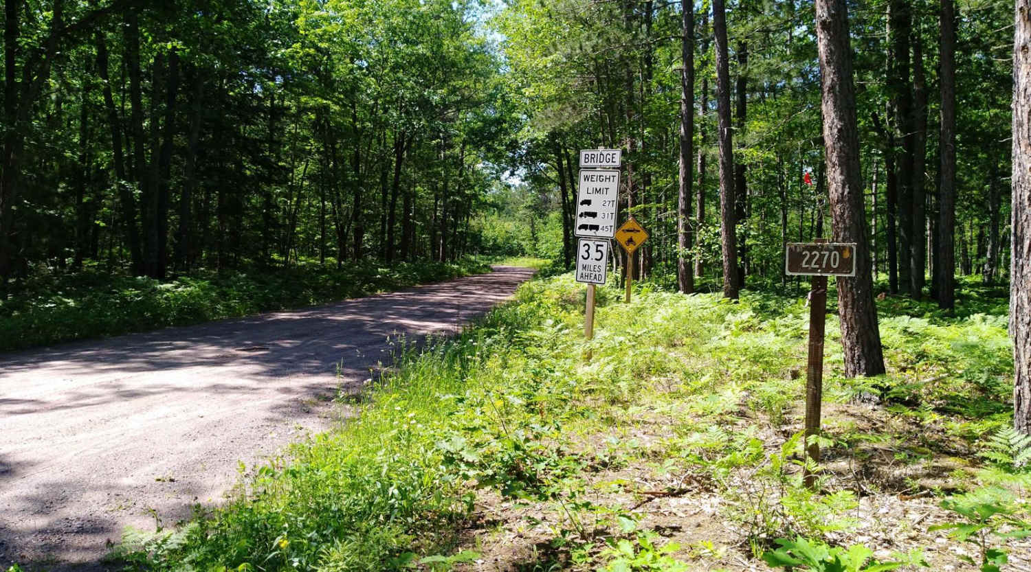
FDR 2270
Total Miles
5.3
Technical Rating
Best Time
Spring, Summer, Fall
Trail Type
Full-Width Road
Accessible By
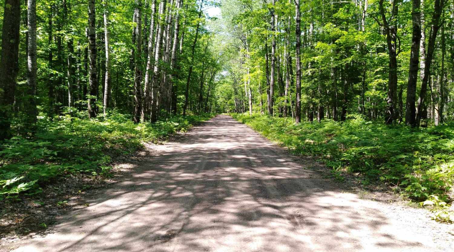
Trail Overview
This section of FDR 2270 is mapped from FDR 2200 to FDR 2276. FRD 2270 continues NE another 5 miles to the Prickett Dam Rd area. (That leads on to M38 about 7 miles total) This section of FDR 2270 is 6 miles long, takes about 45 minutes with an average speed of 8.7MPH. (Time does not include an optional 0.8 mile hike on the Silver Mountain Trail to the 1306 foot "peak")
Photos of FDR 2270
Difficulty
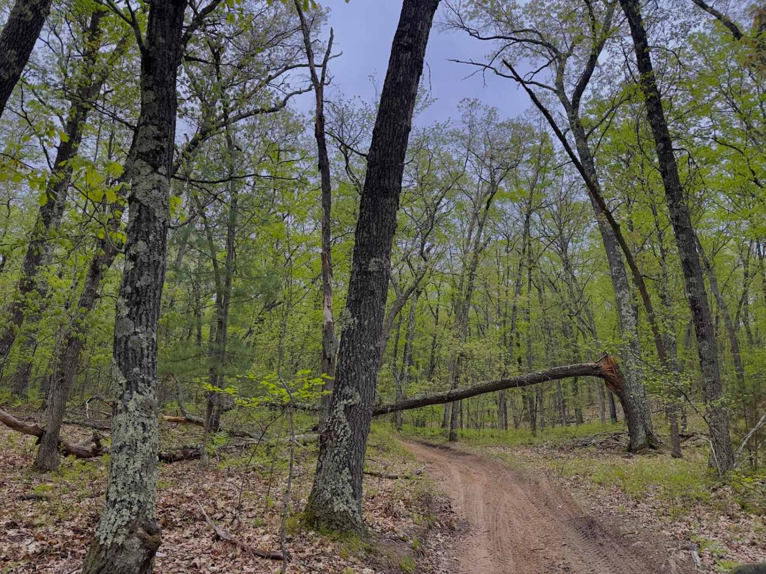
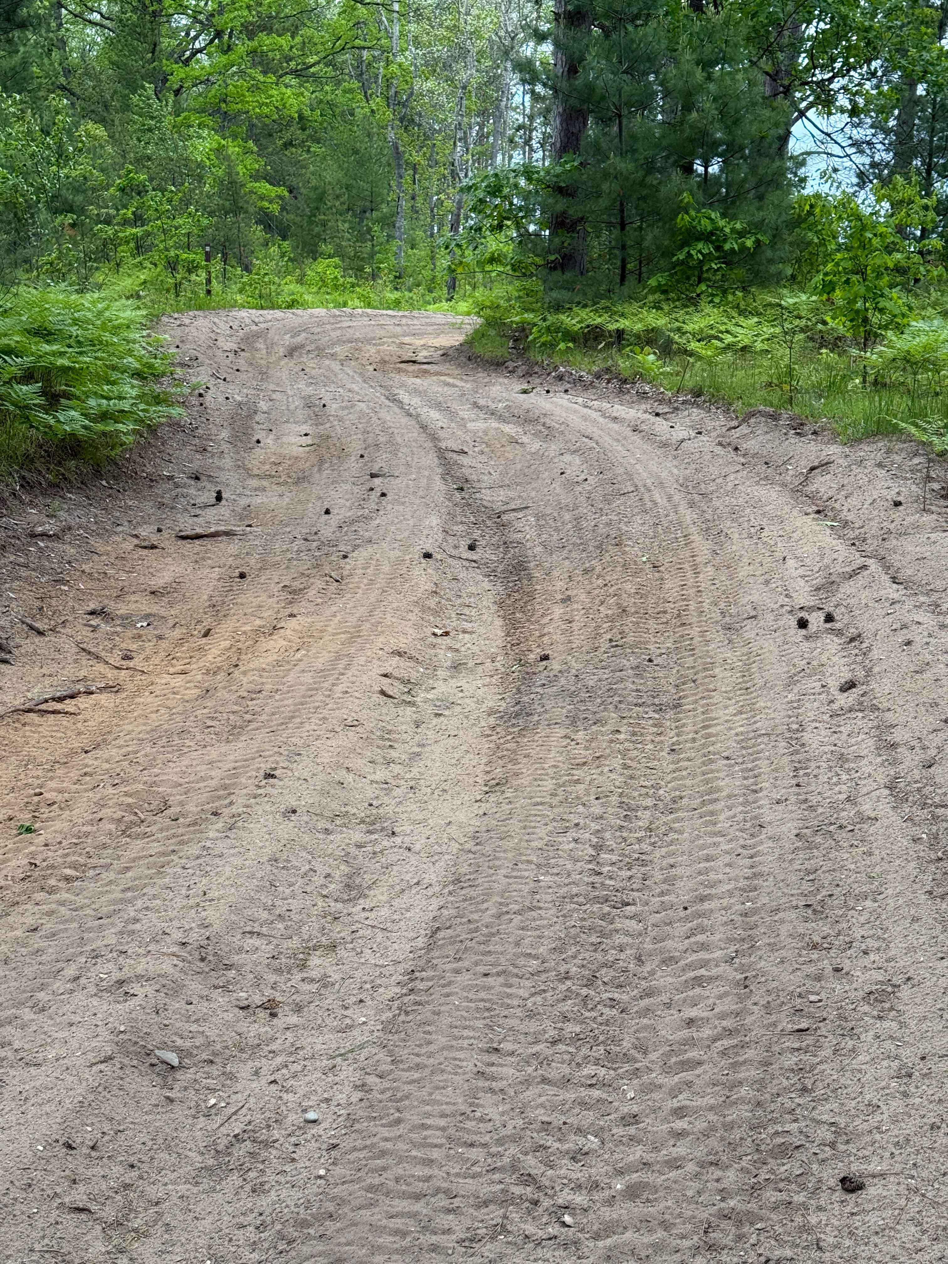
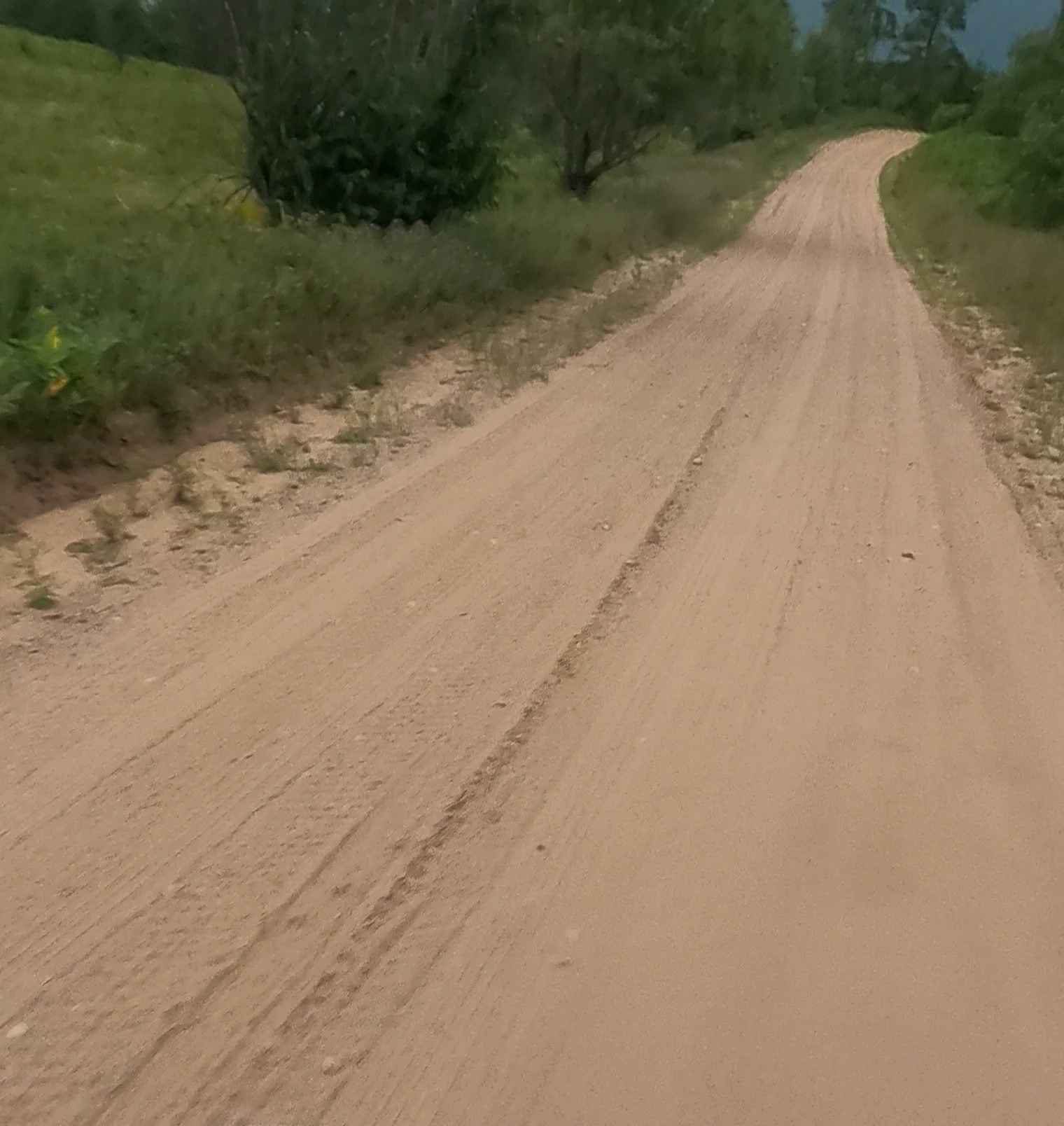
No hazards were encountered other than being a remote area forest road, well-drained with mostly gravel the entire way.
FDR 2270 can be accessed by the following ride types:
- High-Clearance 4x4
- SUV
- SxS (60")
- ATV (50")
- Dirt Bike
FDR 2270 Map
Popular Trails

Friedrick Road
South River Road Trail
Bryan Greek Road
The onX Offroad Difference
onX Offroad combines trail photos, descriptions, difficulty ratings, width restrictions, seasonality, and more in a user-friendly interface. Available on all devices, with offline access and full compatibility with CarPlay and Android Auto. Discover what you’re missing today!