Lake Trail FS 6332
Total Miles
1.6
Elevation
245.68 ft
Duration
0.75 Hours
Technical Rating
Best Time
Spring, Summer, Fall, Winter
Trail Overview
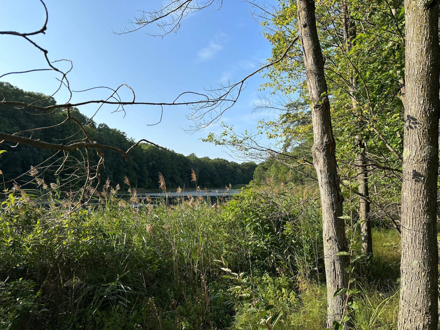
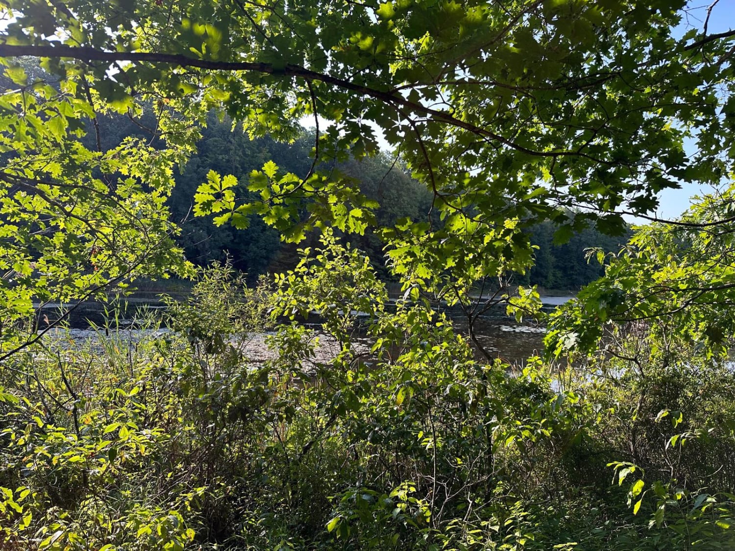
Lake Trail is an out-and-back route that gets its name from the lake that the trail ends at. This route is mostly sandy with some small mud holes. This trail is notable for the great camp spot at the end of the trail where you have close and easy access to the lake. The map shows the trail winding around the lake more; if you try to go further, you will be met with some deep mud pits and a steep hill that you will have to turn around on. Therefore, ending just after the camp spot once you get up close to the lake is recommended. There is cell service at the camp spot but it's unlikely to be reliable.
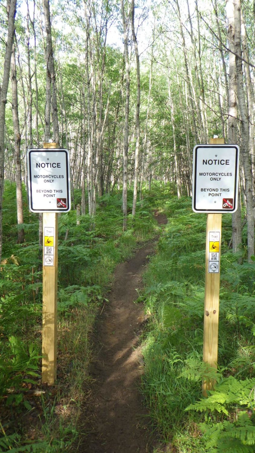
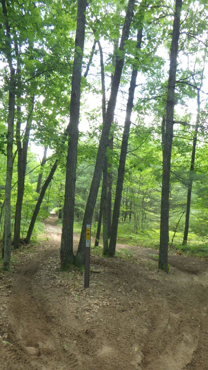
Photos of Lake Trail FS 6332
Difficulty
Watch for small mud holes that can be avoided and some small tree roots and shallow sand.
Status Reports
Popular Trails
Beaver Creek MCCCT - W Seven Mile Rd - Stephan Rd
West Higgins Trail - North Border, 14485, and 14487
The onX Offroad Difference
onX Offroad combines trail photos, descriptions, difficulty ratings, width restrictions, seasonality, and more in a user-friendly interface. Available on all devices, with offline access and full compatibility with CarPlay and Android Auto. Discover what you’re missing today!
