Tank Trail
Total Miles
8.6
Technical Rating
Best Time
Spring, Summer, Fall, Winter
Trail Type
Full-Width Road
Accessible By
Trail Overview
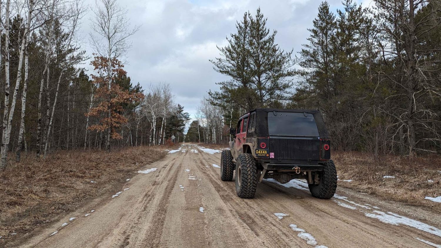
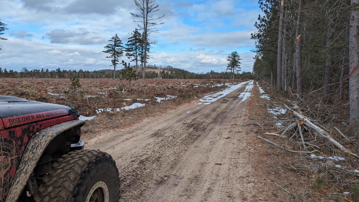
This trail is unique in the sense that it is used specifically for tracked traffic (tanks) at Camp Grayling. There are some nice dispersed camp spots near the south end of the trail along the Manistee River. The trail is very wide and can be whooped out from use by the tracked vehicles. The trail does cross 72, so be sure to watch for fast-moving traffic.
Photos of Tank Trail
Difficulty
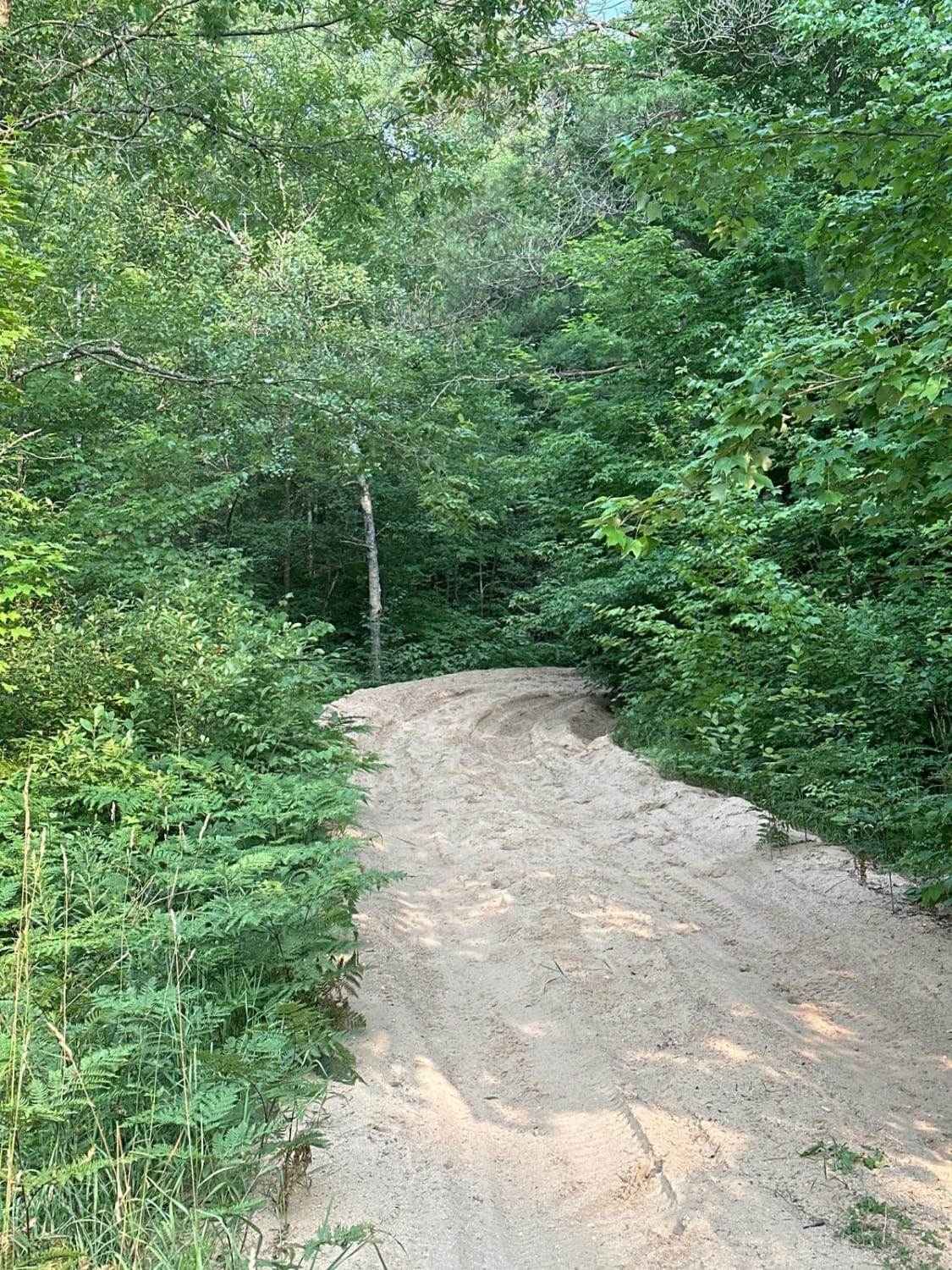
This trail is typical of Michigan; it's very flat and sandy. It is also very wide.
Status Reports
Popular Trails
FS 3177 Part 1
Sand Lakes Loop
The onX Offroad Difference
onX Offroad combines trail photos, descriptions, difficulty ratings, width restrictions, seasonality, and more in a user-friendly interface. Available on all devices, with offline access and full compatibility with CarPlay and Android Auto. Discover what you’re missing today!
