Tower Trail
Total Miles
6.8
Elevation
399.59 ft
Duration
0.75 Hours
Technical Rating
Best Time
Winter, Fall, Summer, Spring
Trail Overview
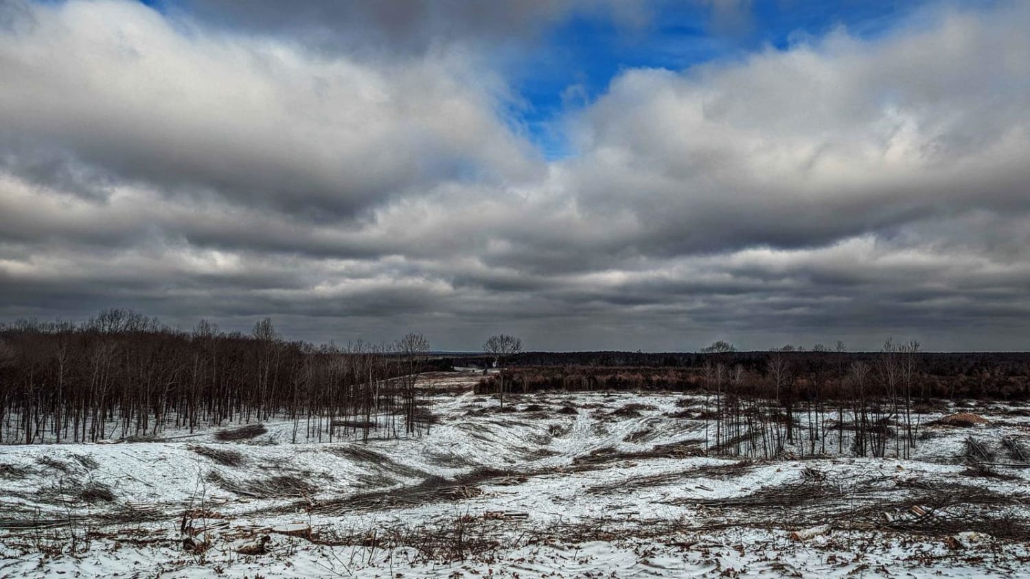
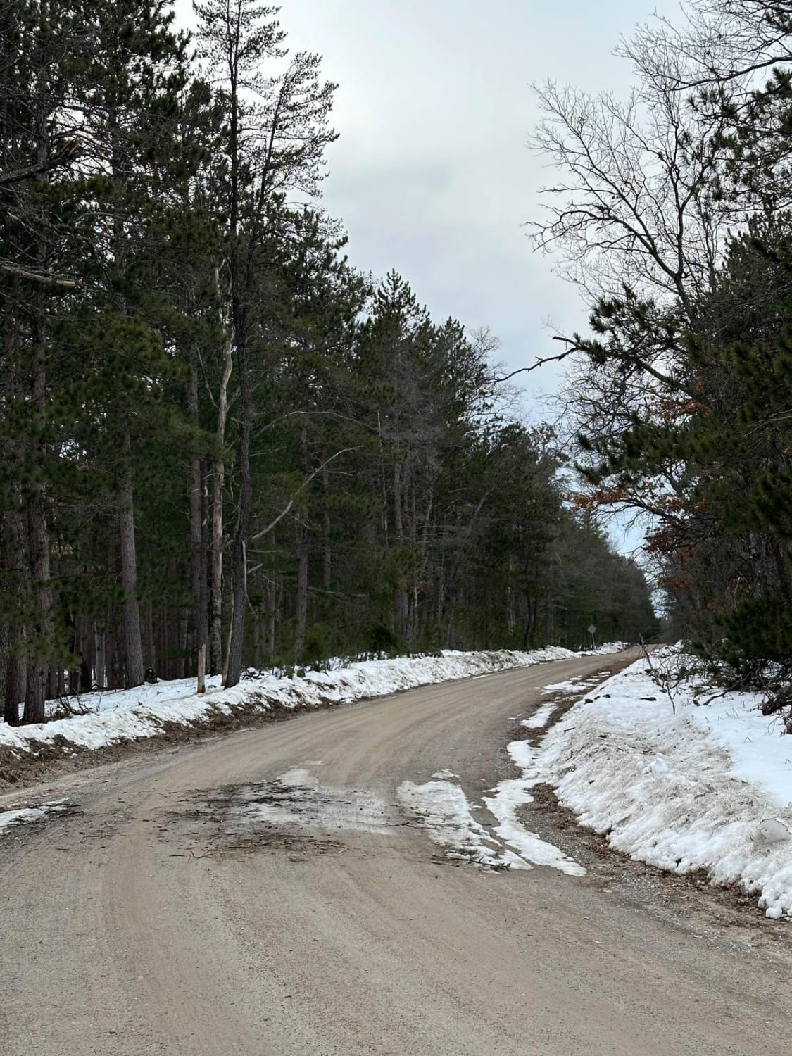
This trail runs north and south between the West Branch Big Creek and Ambrose Lake area with a nice open view from a recent tree harvest. The north end of this trail is 4 vehicles wide and sandy, with some rolling elevation changes along with some bumpy trail spots from logging trucks. The south side of the trail narrows up some to 2 cars wide and has more rolling elevation changes towards the south. This south section ends with winding through a few private properties near Ambrose Lake (stay on trails). The beautiful south end of the trail ends at Horse Shoe Lake Road.
Photos of Tower Trail
Difficulty
4WD may be needed for elevation changes.
Status Reports
Popular Trails
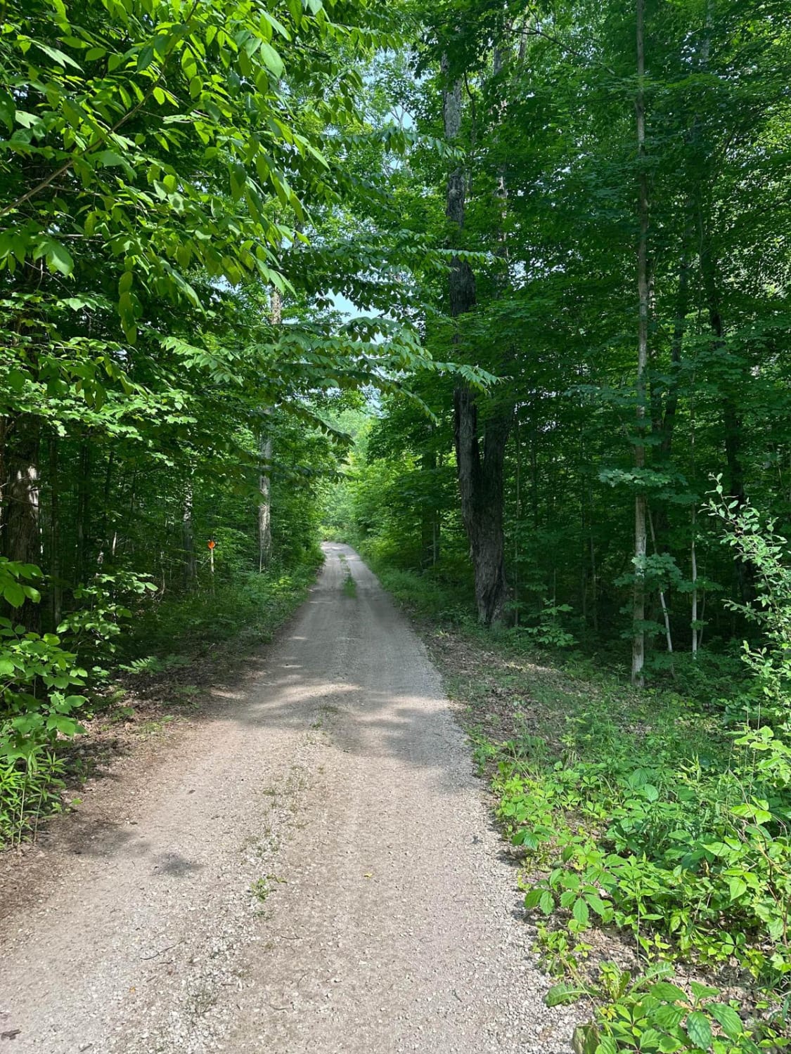
Betsie Valley Bypass/391
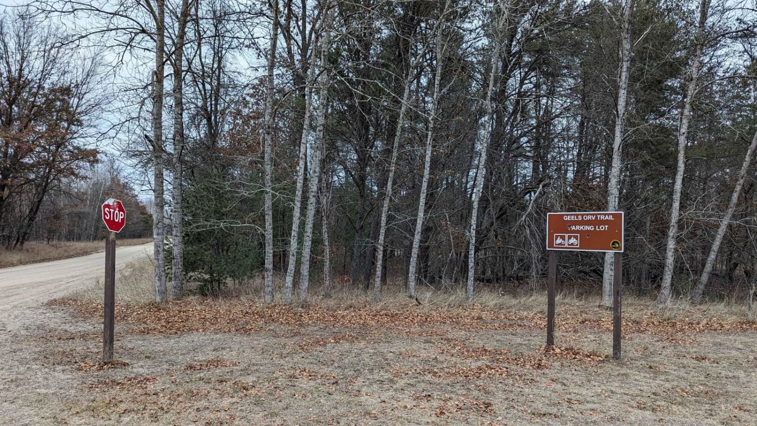
Geels North Loop
The onX Offroad Difference
onX Offroad combines trail photos, descriptions, difficulty ratings, width restrictions, seasonality, and more in a user-friendly interface. Available on all devices, with offline access and full compatibility with CarPlay and Android Auto. Discover what you’re missing today!

