Trail A/Carney Lake Road
Total Miles
8.9
Technical Rating
Best Time
Spring, Summer, Fall
Trail Type
High-Clearance 4x4 Trail
Accessible By
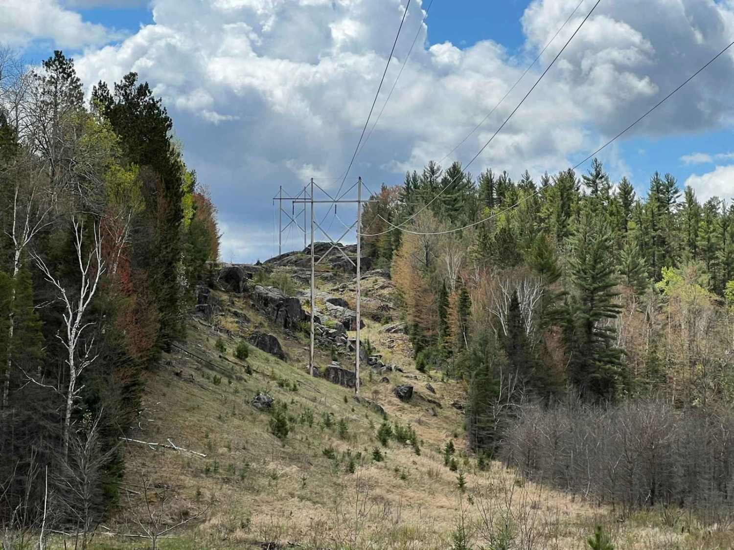
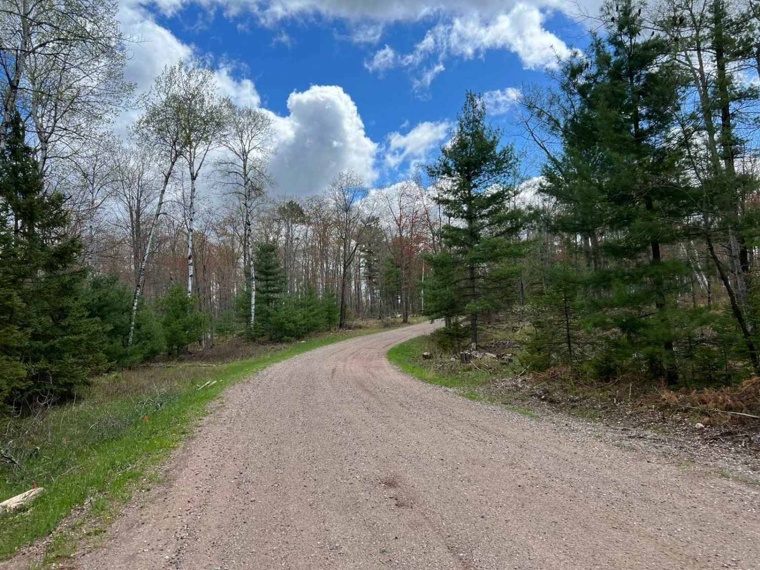
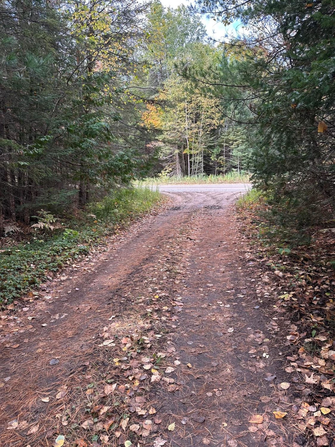
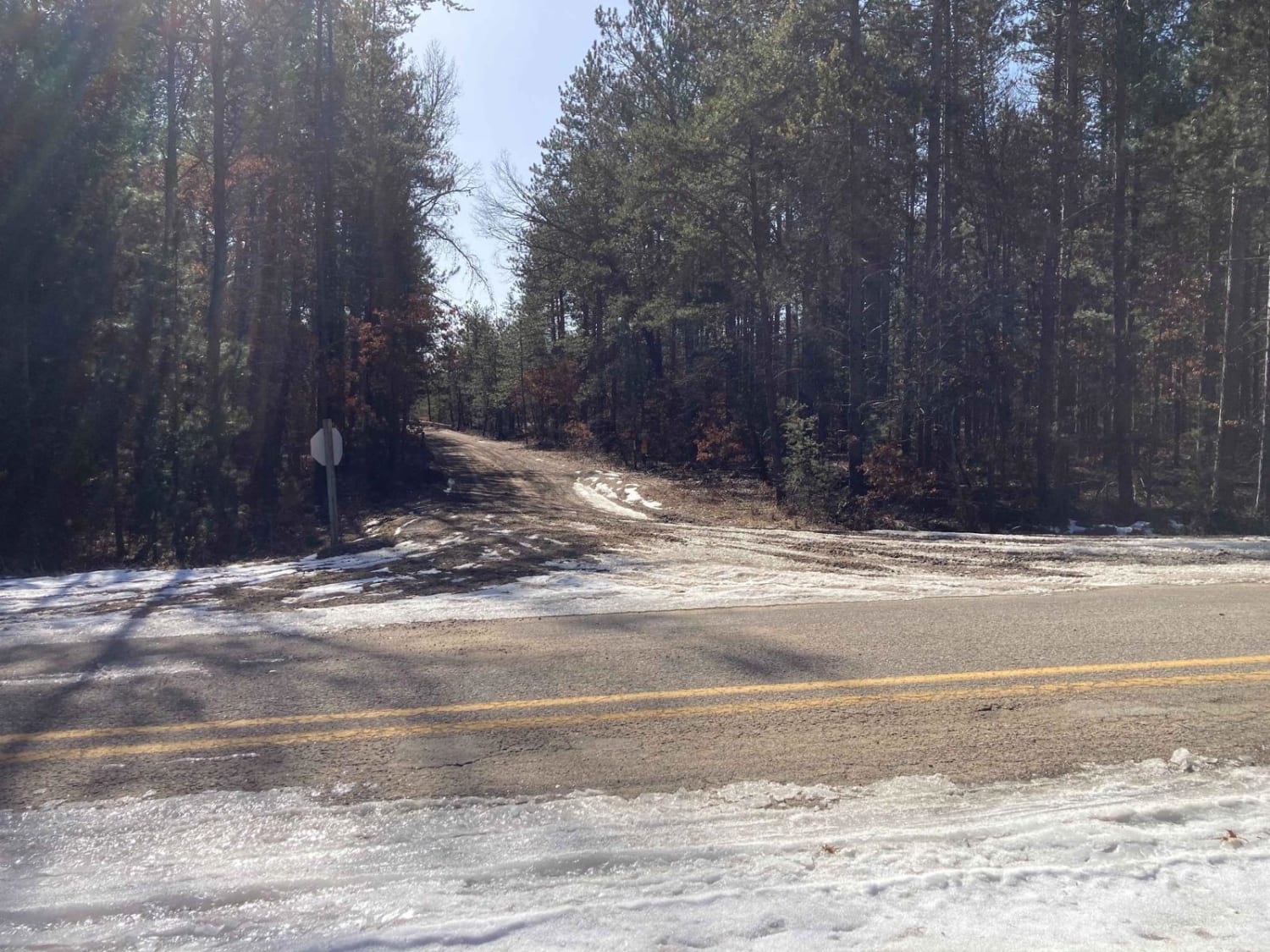
Trail Overview
After leaving the town of Iron Mountain headed north, this is the first access point to a trail and other trail systems in the area. Heading west to east, this trail will start out as gravel but quickly transition into a dirt/sandy base. Several low spots along this route will collect water. These water holes are no more than 12 inches in depth. The scenery along the way is excellent with a good mix of foliage as well as excellent views from a valley to an oncoming bluff. Several other trails and routes can be accessed via this trail. Corners can be easily washed out or driven through when enough sand is present. These trails are all multipurpose use for ATV, SxS, and 4x4. A Michigan ORV license and permit will be required to operate ATVs/SxS on any Michigan trail.
Photos of Trail A/Carney Lake Road
Difficulty
The primary surface of this trail is loose sand. Under wet conditions or recent heavy rain, some of the hills can be washed out and rutted out. There are also low spots along the trail that fill with water. Corners can be easily washed through while driving under dry conditions. The trail width is 1 vehicle wide in most places, occasionally opening up to 1.5 vehicle widths.
Status Reports
Trail A/Carney Lake Road can be accessed by the following ride types:
- High-Clearance 4x4
- SxS (60")
- ATV (50")
Trail A/Carney Lake Road Map
Popular Trails
Allegan Trap Bend Trail

Forest Route 9188
South Mott - FS 2793
Denton Creek Trail
The onX Offroad Difference
onX Offroad combines trail photos, descriptions, difficulty ratings, width restrictions, seasonality, and more in a user-friendly interface. Available on all devices, with offline access and full compatibility with CarPlay and Android Auto. Discover what you’re missing today!