Turners Grade
Total Miles
4.6
Elevation
356.29 ft
Duration
0.25 Hours
Technical Rating
Best Time
Spring, Summer, Fall
Trail Overview
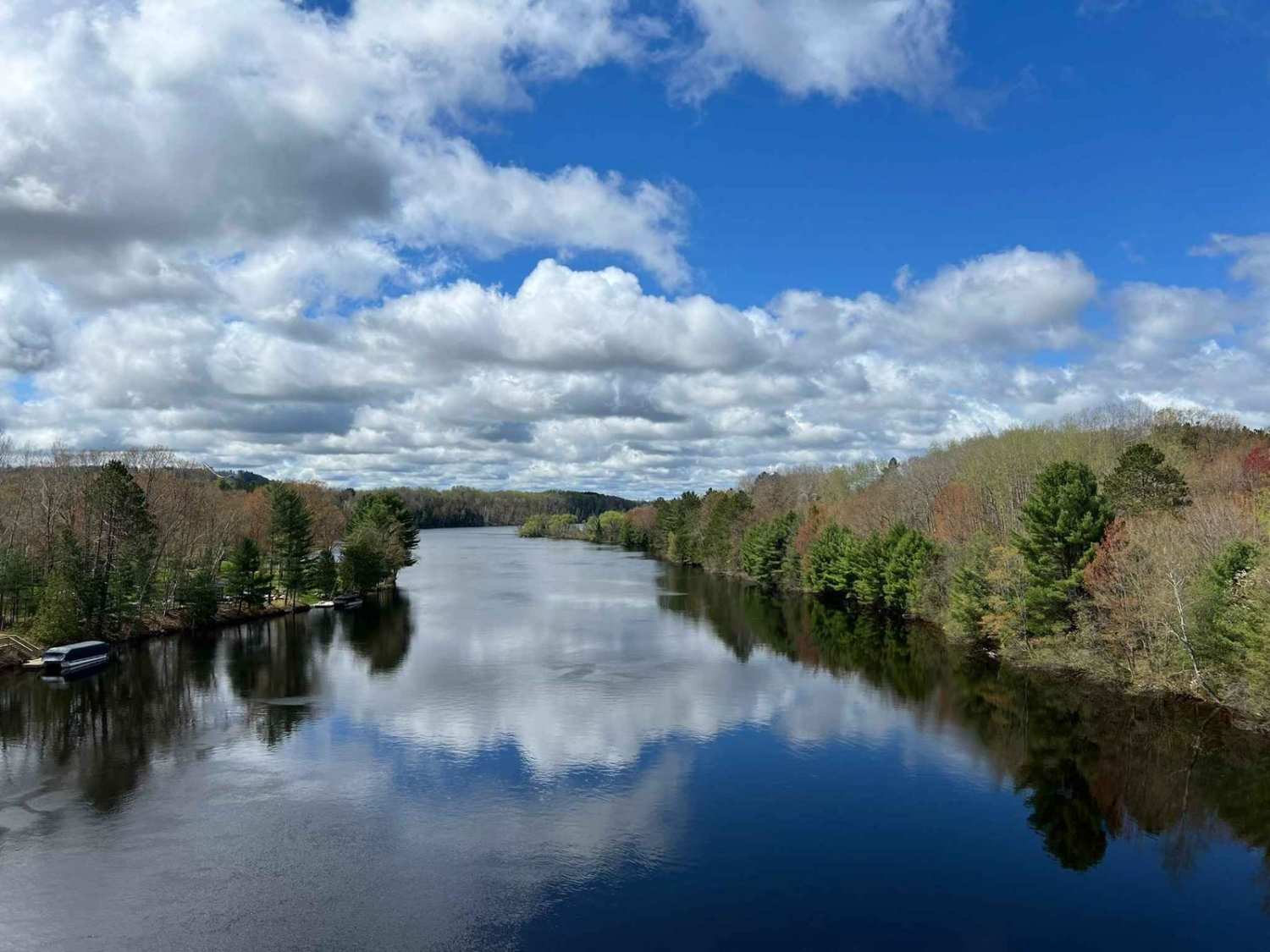
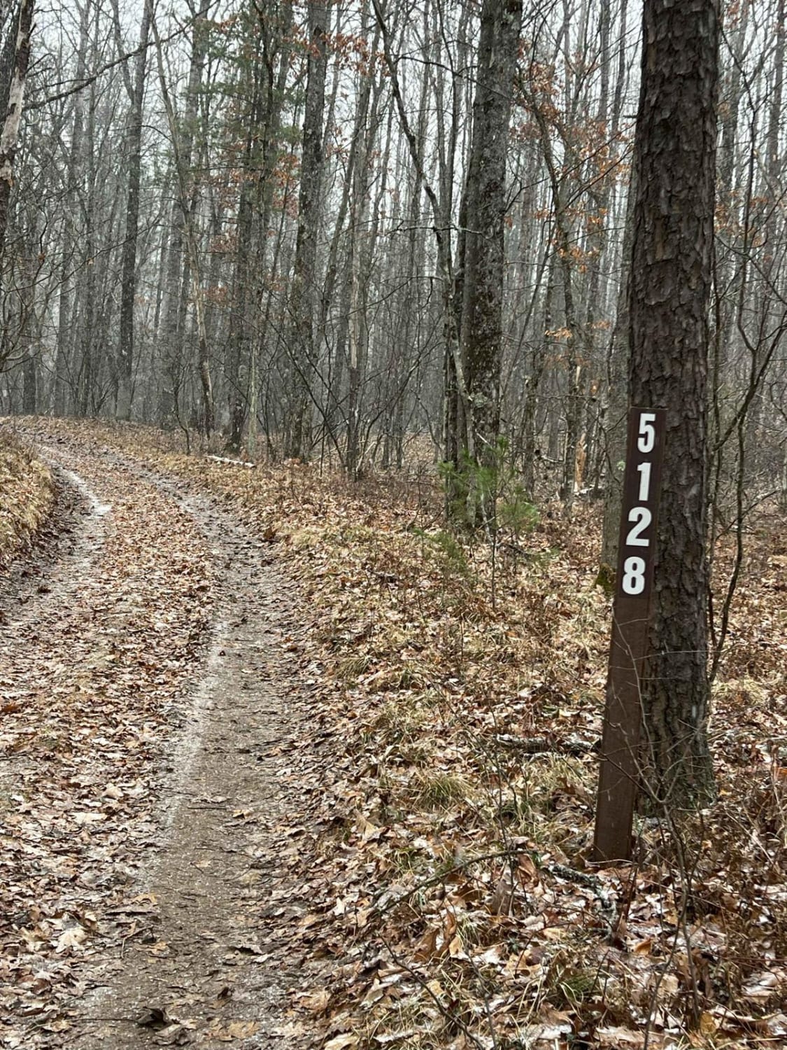
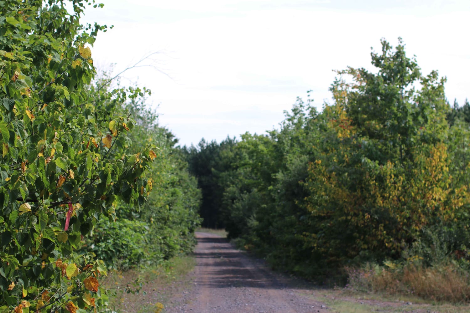
This trail travels from the Wisconsin-Michigan border to the outskirts of Iron Mountain. Entering the trail from the Wisconsin side, there will immediately be the remains of an old trestle bridge that has since been revamped and turned into part of the trail route. This spot is a great spot to stop for a scenic picture of the Menominee River. There are spots to pull off and park on either end of the bride. The trail will then run past Pine Mountain Ski Resort and ski jump before starting to make its way into town. The rest of the route is primarily dirt surface with sight lines being okay to good. Elevation changes are excellent and provide great views of the entire surroundings. After Turners Grade Trestle Bridge, there is a small section of road to navigate before you're routed back to the trail. At this trail's end in Iron Mountain, you'll use roadways to navigate to other trails. They are well-signed with directional arrows showing how to easily navigate to the rest of the trail system.
Photos of Turners Grade
Difficulty
This trail can be easily navigated by riders of all experience levels. The trail is 1.5 to 1 vehicle wide in all spots. Sight lines are okay to good of oncoming traffic. At one point the trail crosses Highway 2 in Iron Mountain. At busier times of the day, this can be more challenging and may require prolonged waiting for traffic to be clear in order to cross.
Status Reports
Popular Trails
Forest Road 9100
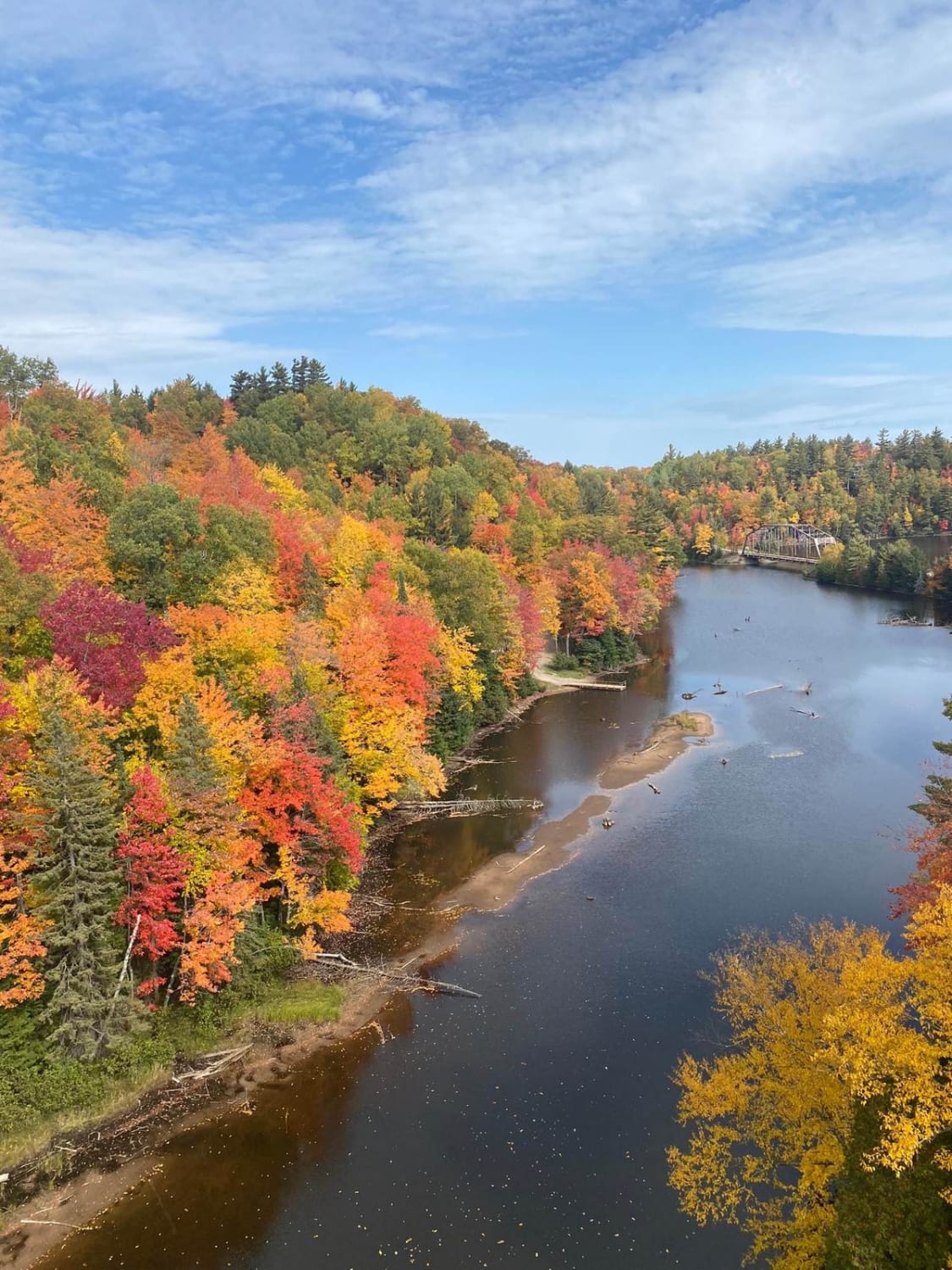
Old Bridge Overlook
Mill Mine Trail
The onX Offroad Difference
onX Offroad combines trail photos, descriptions, difficulty ratings, width restrictions, seasonality, and more in a user-friendly interface. Available on all devices, with offline access and full compatibility with CarPlay and Android Auto. Discover what you’re missing today!

