Union Creek
Total Miles
0.8
Technical Rating
Best Time
Spring, Summer, Fall
Trail Type
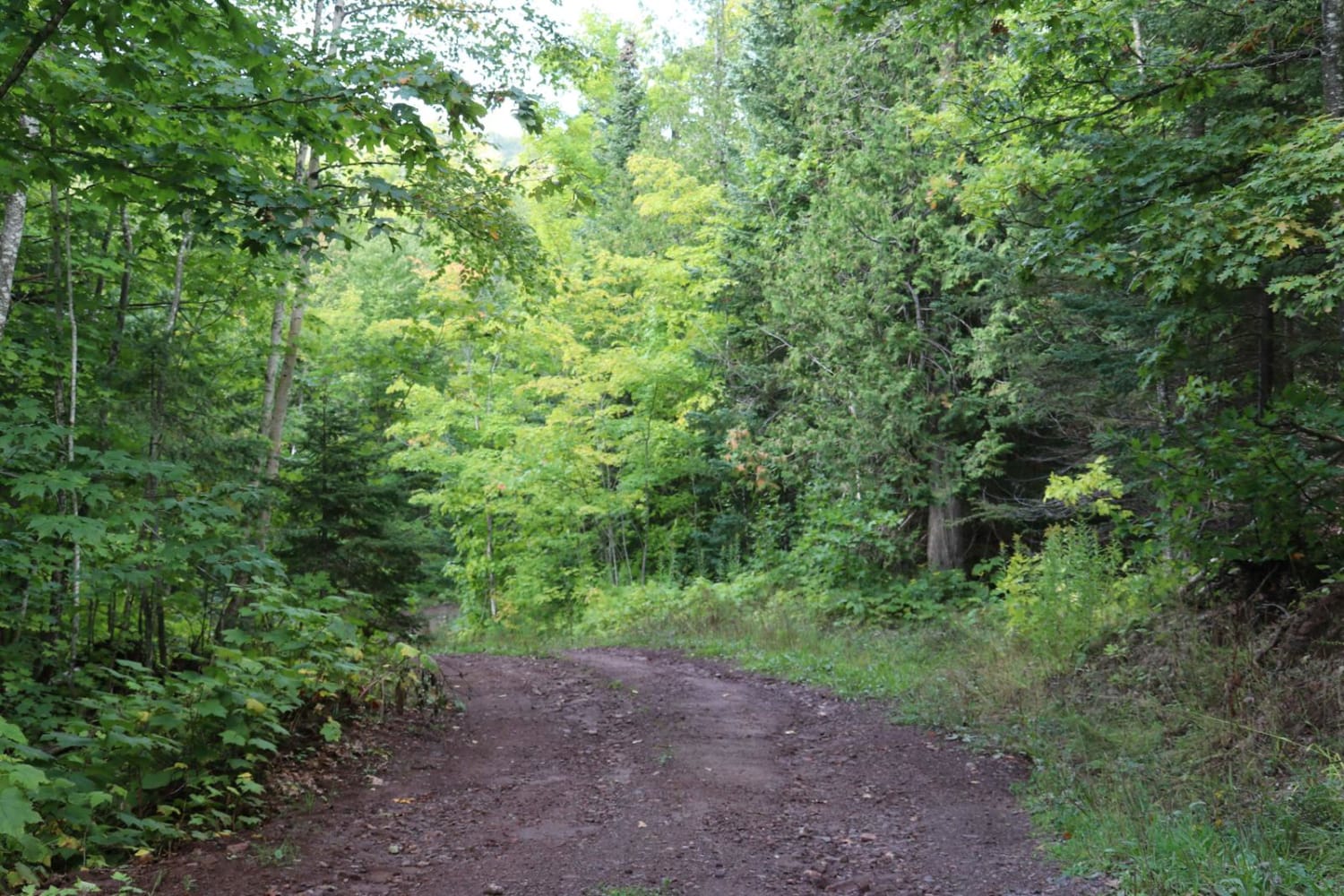
Full-Width Road
Accessible By
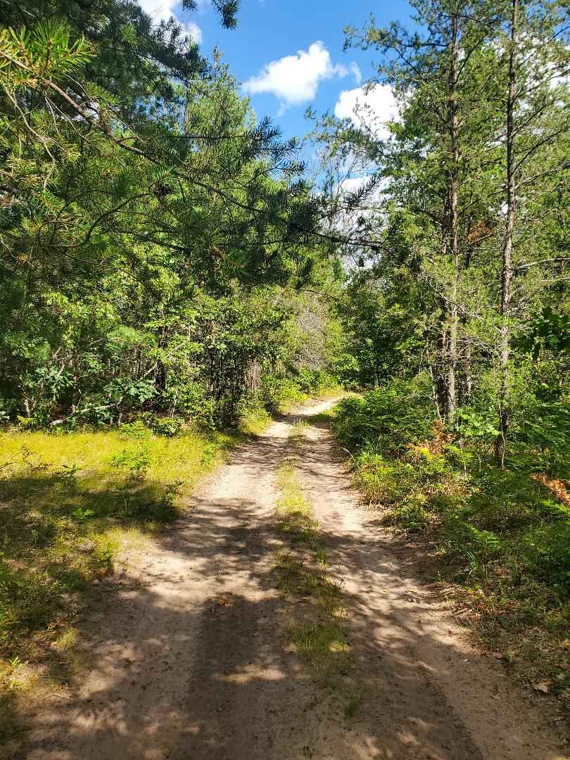
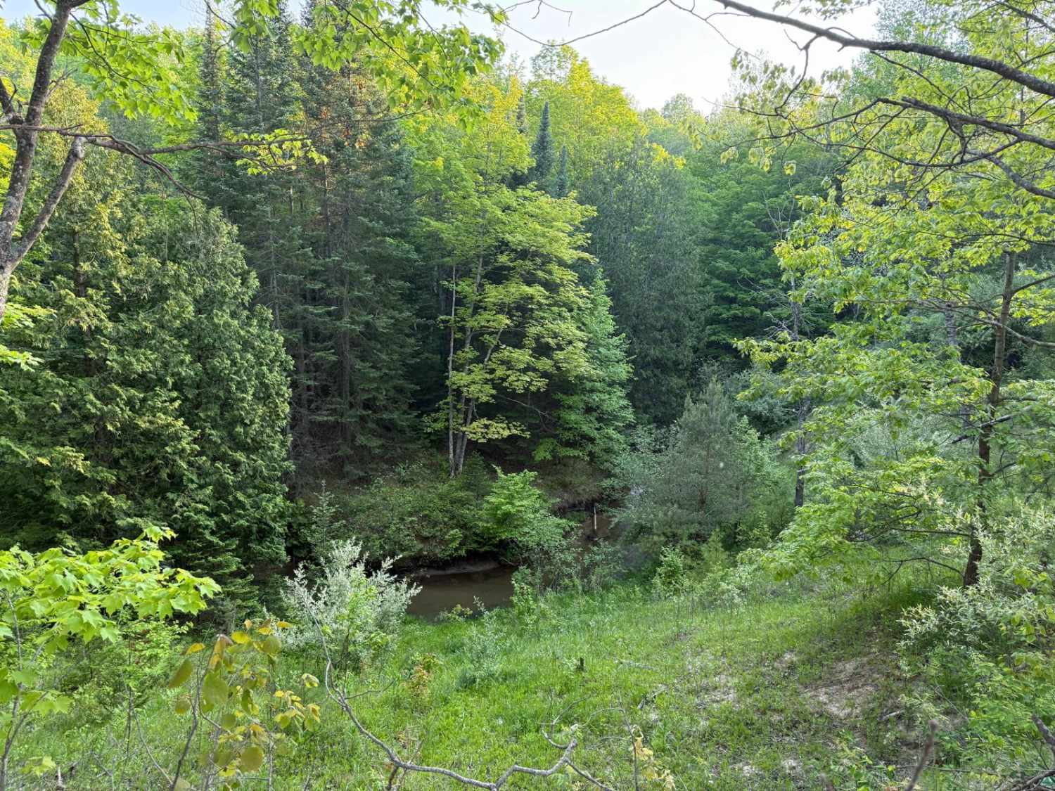
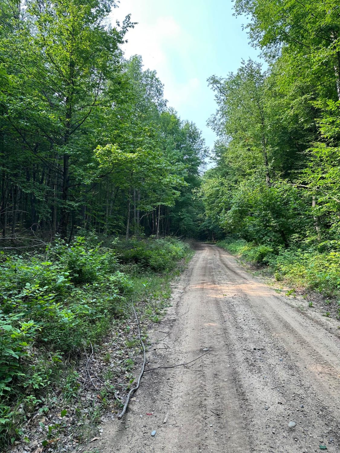
Trail Overview
This is a hilly out-and-back trail with a creek crossing and viewpoints of the Keweenaw Ridge. Many years ago, this used to be a bypass to taking the Mandan Road to High Rock, but it has since been blocked at the east end. There is an overgrown trail that proceeds onto the radio tower property that should not be crossed. There is no signage to indicate this, so it's easy to miss.
Photos of Union Creek
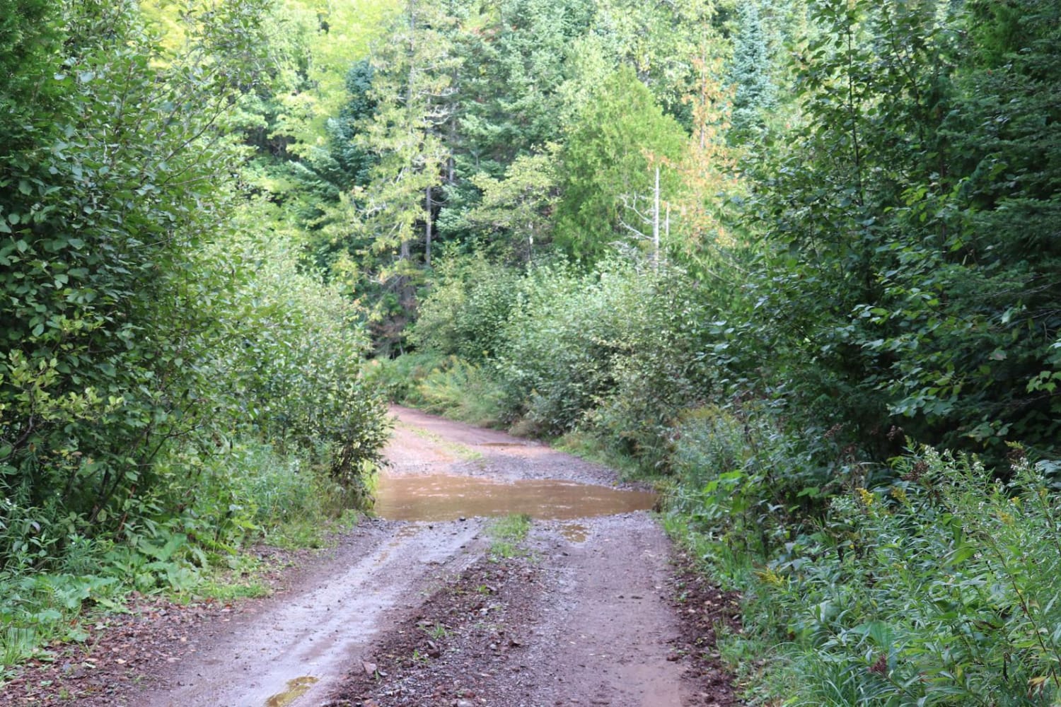
Difficulty
There's a creek crossing that is 12-24 inches deep and steep muddy hills after a rain.
Status Reports
Union Creek can be accessed by the following ride types:
- High-Clearance 4x4
- SUV
- SxS (60")
- ATV (50")
- Dirt Bike
Union Creek Map
Popular Trails
Inner Dogman Trail
Silver Creek Trail

The onX Offroad Difference
onX Offroad combines trail photos, descriptions, difficulty ratings, width restrictions, seasonality, and more in a user-friendly interface. Available on all devices, with offline access and full compatibility with CarPlay and Android Auto. Discover what you’re missing today!