BLM 10
Total Miles
1.0
Technical Rating
Best Time
Spring, Summer, Fall
Trail Type
50" Trail
Accessible By
Trail Overview
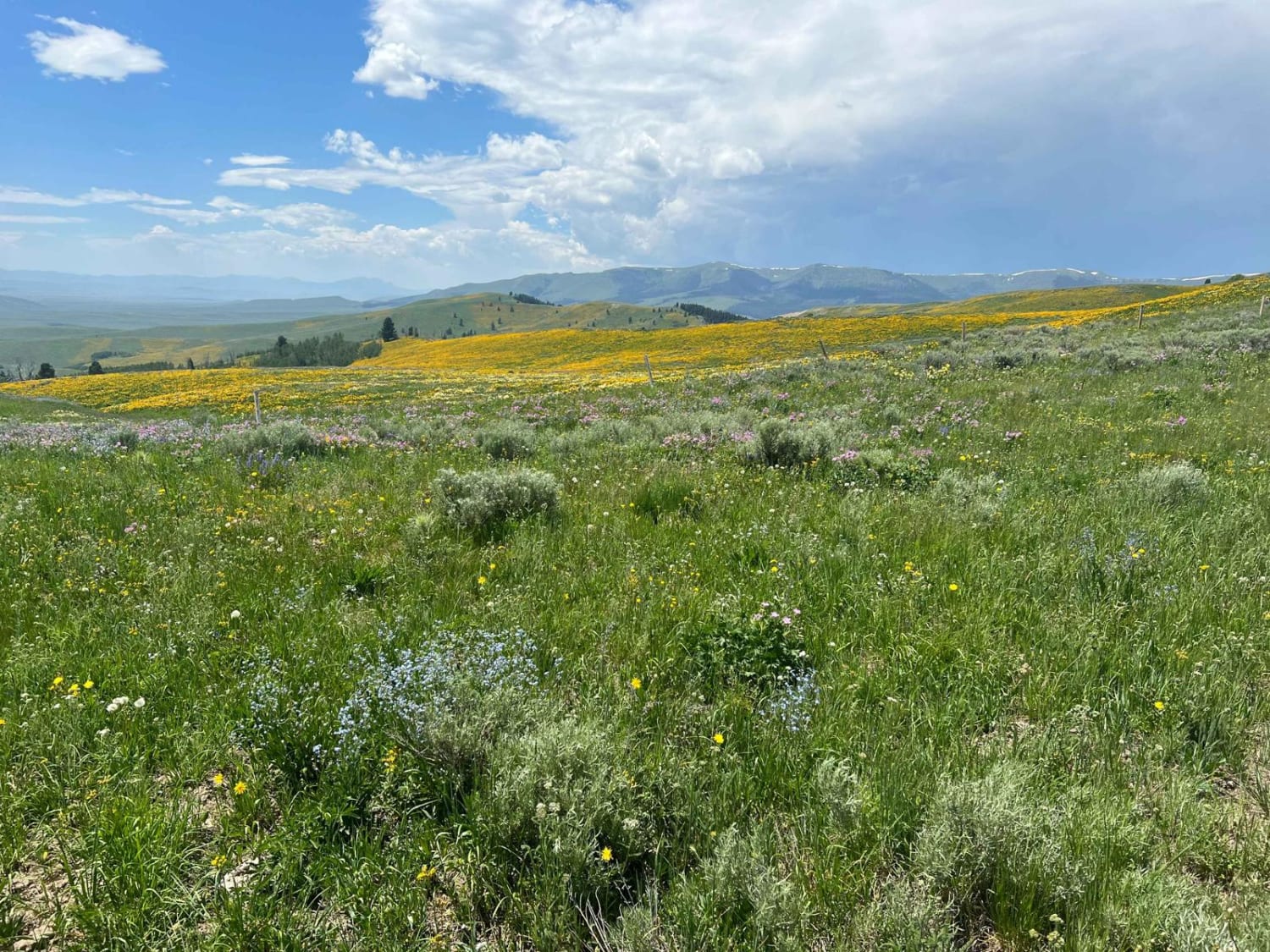
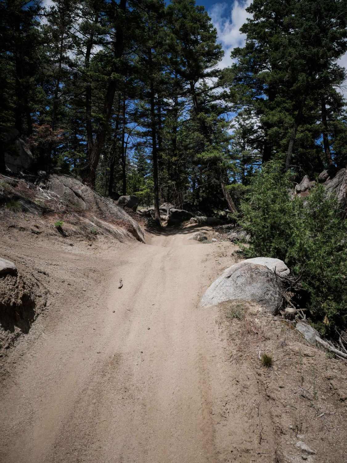
Trail 10 is a 1-mile section of 50" trail. It can be accessed by Trail 8 on the east side and FS 173 on the west. It's a comprehensive, smooth gravel trail. It's a bit narrower than Trail 8. It goes past fields of sagebrush and pine trees and huge granite boulders and rock formations that are scenic and neat to see. It also borders BLM land and the Deerlodge National Forest. It has a lot of big whoops and dips but no obstacles, and it is primarily fla and not rocky. There's a parking area on the west end of the trail.
Photos of BLM 10
Difficulty
This is a really easy ATV trail with no obstacles.
Status Reports
BLM 10 can be accessed by the following ride types:
- ATV (50")
- Dirt Bike
BLM 10 Map
Popular Trails

Lone Point Drive - FS 1824

Eureka Basin Road (FS 347)

Upper Willow Saint Clair
The onX Offroad Difference
onX Offroad combines trail photos, descriptions, difficulty ratings, width restrictions, seasonality, and more in a user-friendly interface. Available on all devices, with offline access and full compatibility with CarPlay and Android Auto. Discover what you’re missing today!


