Boulder to Toston via Black Sage Pass
Total Miles
42.1
Technical Rating
Best Time
Summer, Fall
Trail Type
Full-Width Road
Accessible By
Trail Overview
For those who like to take the road less traveled, this back road trek will take you between the small Montana towns of Boulder and Toston. Traversing Jefferson and Broadwater counties this route takes about 2-3 times as long as taking the highways north to Helena or south to Cardwell. In between you can expect range cattle, prickly pear cacti, and lots of sagebrush. Enjoy this trip back in time before interstate or even state highways when this trail was as developed and maintained as roads came! Heading west from Boulder, follow the McCarty Creek Trail 1.5 miles then turn right onto Upper Valley Rd. Continue for another 1.5 miles south, then turn left onto Lower Valley Rd/Old Elkhorn Rd/Willow Springs Rd as it starts to wrap along the bench above the Boulder River. Continue for approximately for 15 miles. During that time the road will turn into Radersburg Rd and Lower Valley Rd will dead end into the highway. Continue on Radersburg Rd until it makes a sudden and direct turn toward the east. Follow the road uphill for about 5 miles and 500' of elevation gain until you reach a pass and a Y in the road. Congrats, you have made it to the high point of this adventure! A word of caution: resist the urge to head to the SE from the pass on the Old Boulder Rd. The road has been turned into a stock watering tank at one point and you will have to backtrack to the pass from where you came.Continuing downhill from the pass toward Toston enjoy the views of the Horseshoe Hills ahead of you. There are multiple farm roads leading into Toston. It is about 22 miles from the pass into Toston and it's a gentle downhill most of the way there.
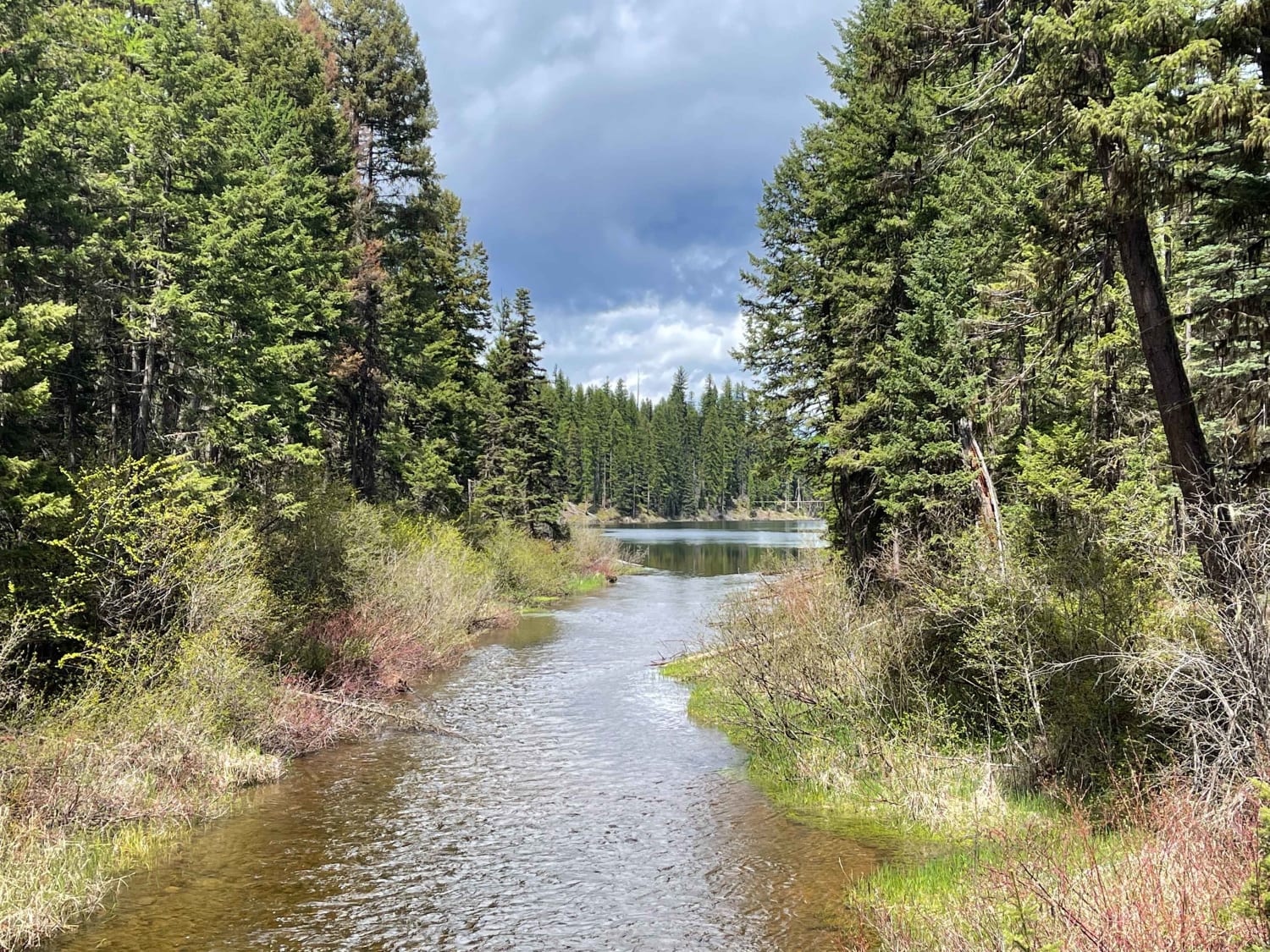
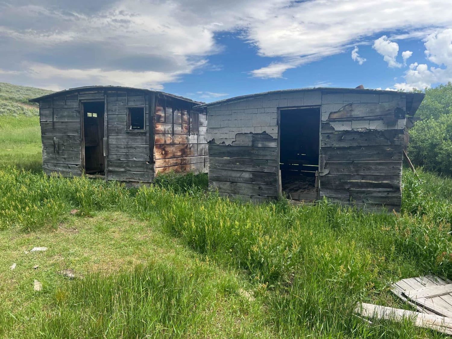
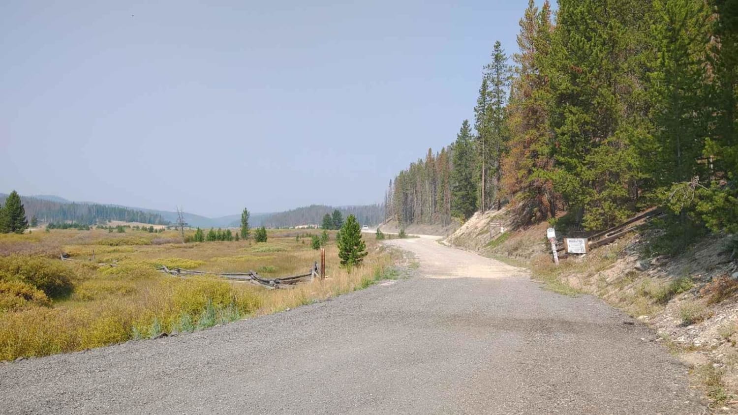
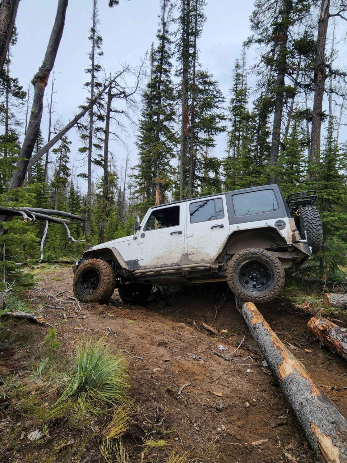
Photos of Boulder to Toston via Black Sage Pass
Difficulty
Deep ruts in places from runoff especially as you approach the high point of the route. Mostly two vehicles wide and better maintained on the Toston side; mainly one vehicle wide and less established trail on the Boulder side.
Status Reports
Boulder to Toston via Black Sage Pass can be accessed by the following ride types:
- High-Clearance 4x4
- SUV
- SxS (60")
- ATV (50")
- Dirt Bike
Boulder to Toston via Black Sage Pass Map
Popular Trails

West Fork Clearwater River

Fish Creek Lake Road (Partial)

Bitterroot-Big Hole

Lava Mountain Loop
The onX Offroad Difference
onX Offroad combines trail photos, descriptions, difficulty ratings, width restrictions, seasonality, and more in a user-friendly interface. Available on all devices, with offline access and full compatibility with CarPlay and Android Auto. Discover what you’re missing today!

